MyTopo
Mesita Americana New Mexico US Topo Map
Couldn't load pickup availability
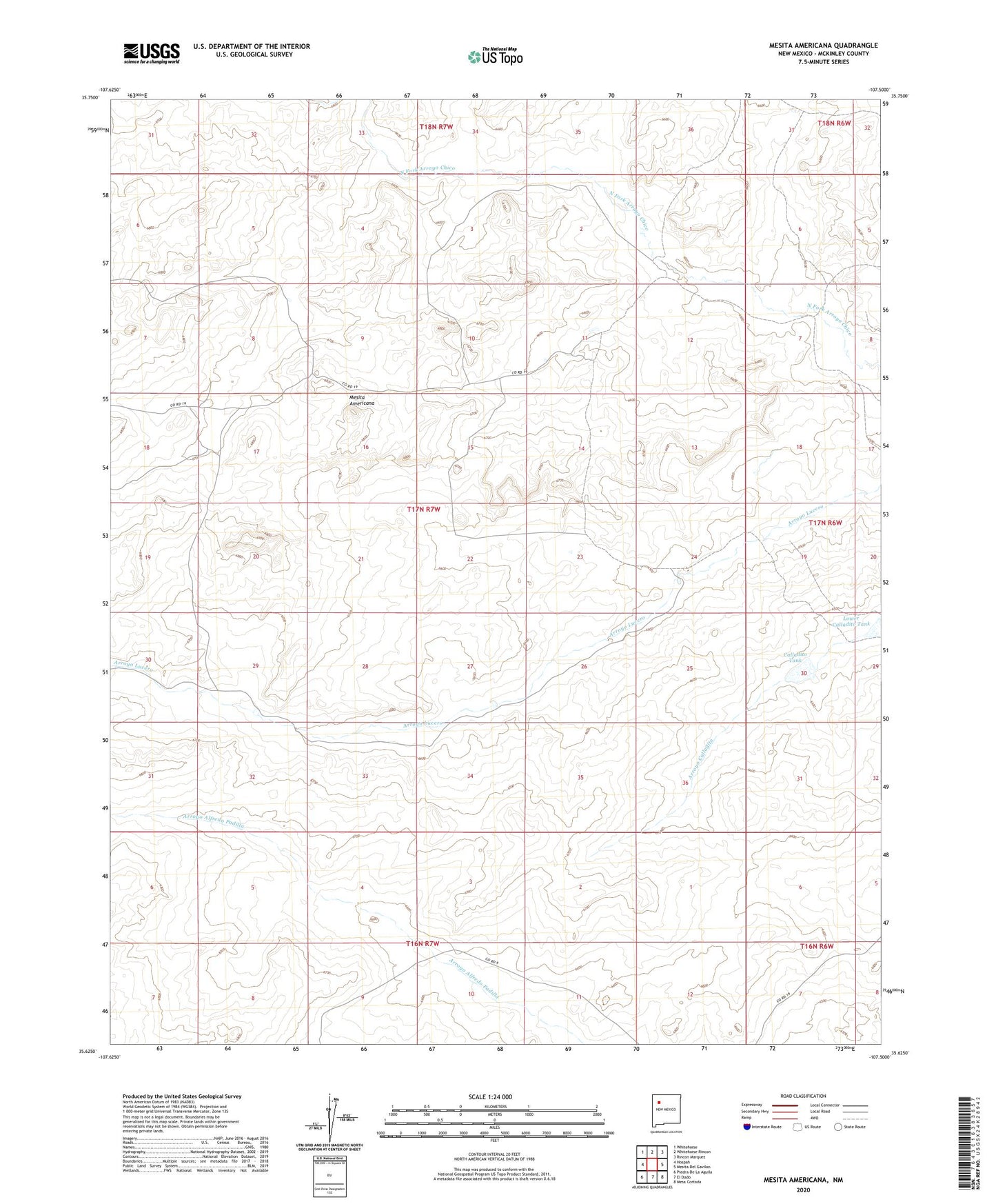
2020 topographic map quadrangle Mesita Americana in the state of New Mexico. Scale: 1:24000. Based on the newly updated USGS 7.5' US Topo map series, this map is in the following counties: McKinley. The map contains contour data, water features, and other items you are used to seeing on USGS maps, but also has updated roads and other features. This is the next generation of topographic maps. Printed on high-quality waterproof paper with UV fade-resistant inks.
Quads adjacent to this one:
West: Hospah
Northwest: Whitehorse
North: Whitehorse Rincon
Northeast: Rincon Marquez
East: Mesita Del Gavilan
Southeast: Mesa Cortada
South: El Dado
Southwest: Piedra De La Aguila
Contains the following named places: Ball Ranch, Calladito Tank, Cayadito Dam, Demitro Flores Well, Lower Calladito Tank, Mesita Americana, Mesita Camp