MyTopo
Mesa Cortada New Mexico US Topo Map
Couldn't load pickup availability
Also explore the Mesa Cortada Forest Service Topo of this same quad for updated USFS data
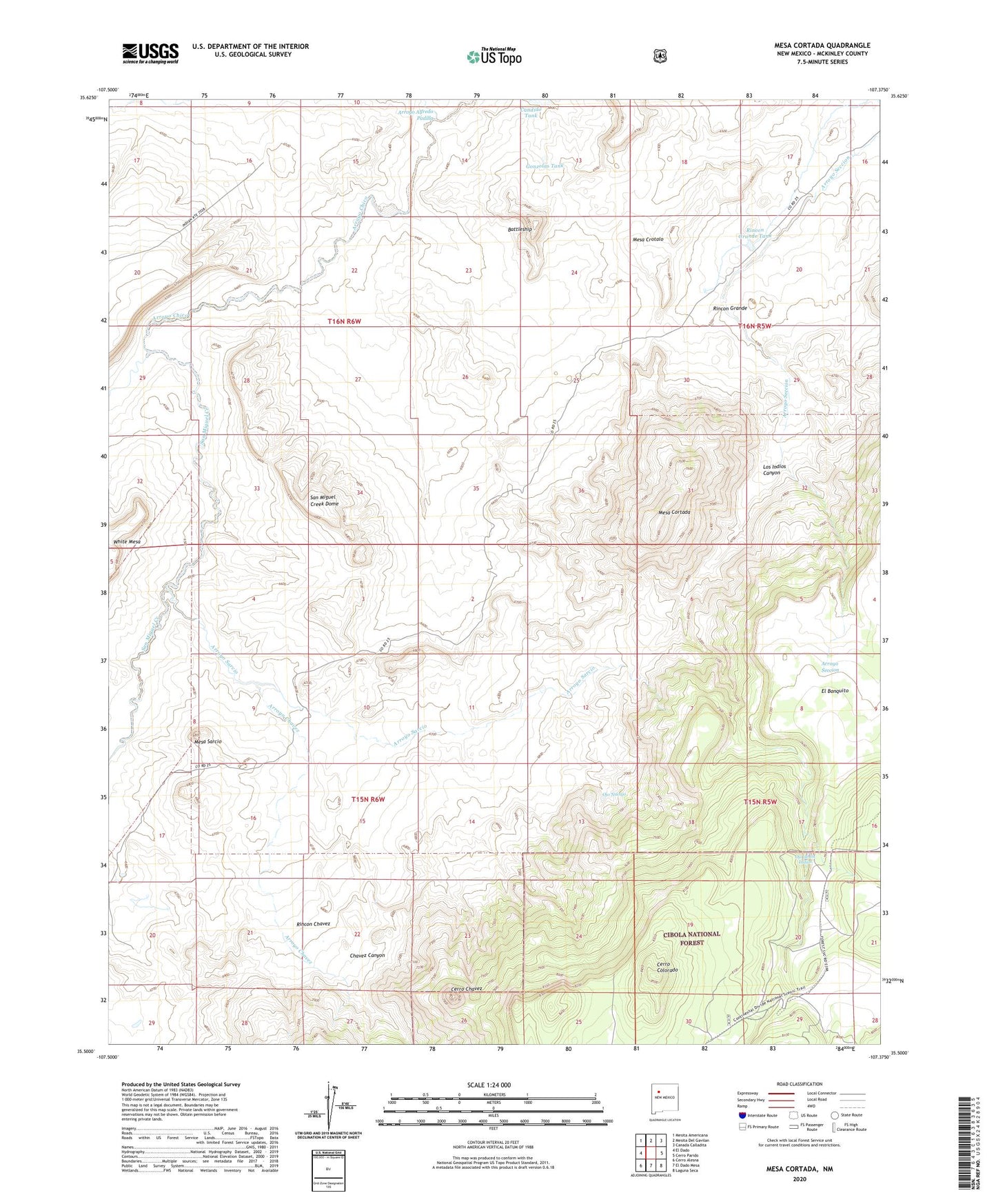
2023 topographic map quadrangle Mesa Cortada in the state of New Mexico. Scale: 1:24000. Based on the newly updated USGS 7.5' US Topo map series, this map is in the following counties: McKinley. The map contains contour data, water features, and other items you are used to seeing on USGS maps, but also has updated roads and other features. This is the next generation of topographic maps. Printed on high-quality waterproof paper with UV fade-resistant inks.
Quads adjacent to this one:
West: El Dado
Northwest: Mesita Americana
North: Mesita Del Gavilan
Northeast: Canada Calladita
East: Cerro Parido
Southeast: Laguna Seca
South: El Dado Mesa
Southwest: Cerro Alesna
This map covers the same area as the classic USGS quad with code o35107e4.
Contains the following named places: Arroyo Alfredo Padilla, Arroyo Chavez, Arroyo Sarcio, Battleship, Candido Tank, Cerro Chavez, Cerro Colorado, Chavez Canyon, Gonzolas Tank, Jaramillo Ranch, Los Indios Canyon, Lucero, Mesa Cortada, Mesa Crotalo, Mesa Sarcio, Michael Ranch, Ojo de los Indios, Ojo Navajo, R-11 Water Well, Rancho de la Punta, Rincon Chavez, Rincon Grande, Rincon Grande Tank, San Miguel Creek, San Miguel Creek Dome, White Mesa