MyTopo
El Dado New Mexico US Topo Map
Couldn't load pickup availability
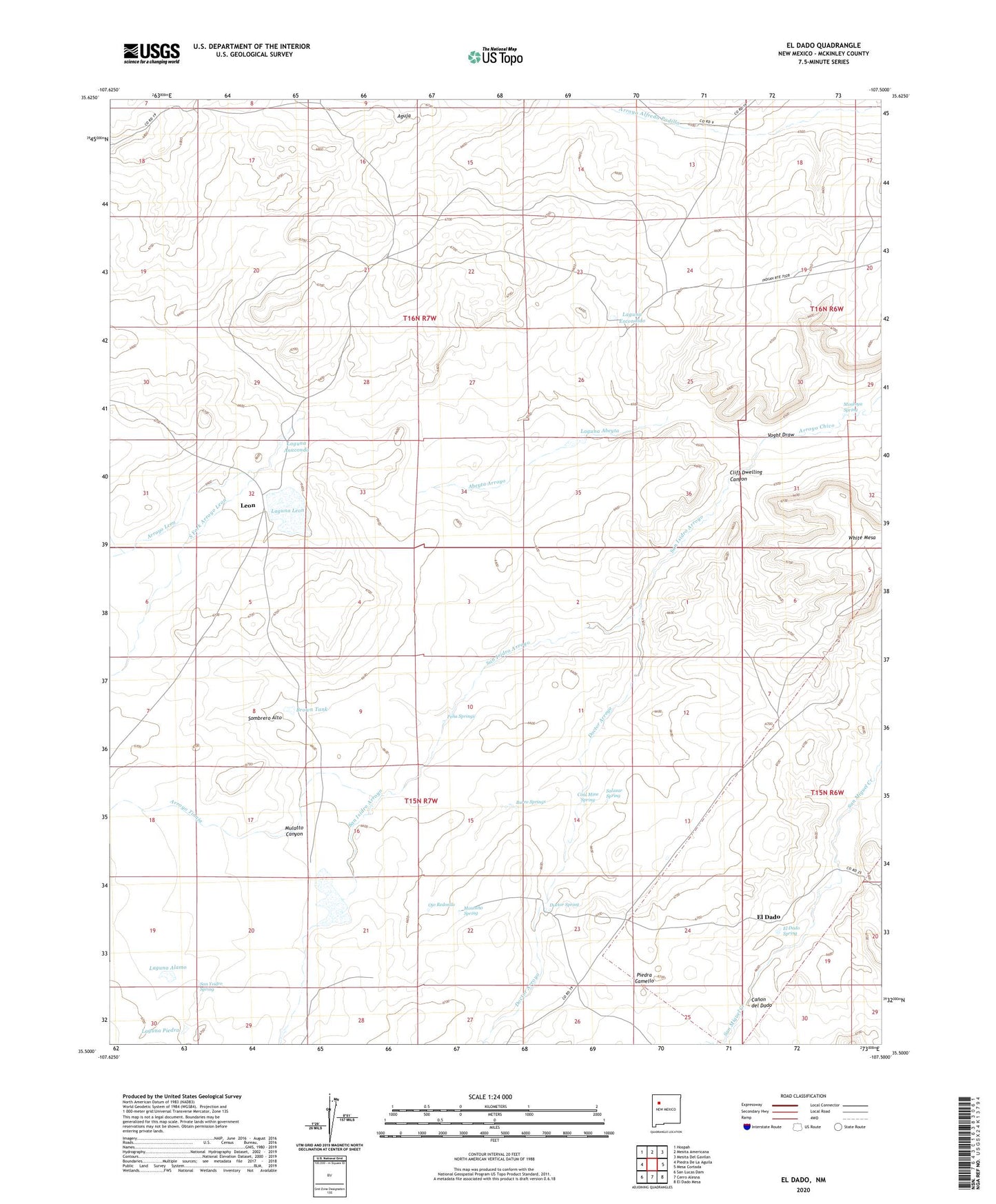
2023 topographic map quadrangle El Dado in the state of New Mexico. Scale: 1:24000. Based on the newly updated USGS 7.5' US Topo map series, this map is in the following counties: McKinley. The map contains contour data, water features, and other items you are used to seeing on USGS maps, but also has updated roads and other features. This is the next generation of topographic maps. Printed on high-quality waterproof paper with UV fade-resistant inks.
Quads adjacent to this one:
West: Piedra De La Aguila
Northwest: Hospah
North: Mesita Americana
Northeast: Mesita Del Gavilan
East: Mesa Cortada
Southeast: El Dado Mesa
South: Cerro Alesna
Southwest: San Lucas Dam
This map covers the same area as the classic USGS quad with code o35107e5.
Contains the following named places: Abeyta Arroyo, Aguja, Arroyo Leon, Arroyo Tinaja, Brown Tank, Bull Pasture Well, Burro Springs, Canon del Dado, Cliff Dwelling Canyon, Cliff House, Coal Mine Spring, Doctor Arroyo, Doctor Spring, El Dado, El Dado Spring, Escondido Well, Felipe Tafoya Grant, Huerfano Well, Laguna Abeyta, Laguna Alamo, Laguna Anaconda, Laguna Elefante, Laguna Escondido, Laguna Leon, Laguna Piedra, Leon, Leon Post Office, Montano Spring, Montoya Spring, Mulatto Canyon, North Fork Arroyo Leon, Ojo Redondo, Pena Springs, Piedra Camello, Salazar Spring, San Isidro Arroyo, San Ysidro Spring, Sombrero Alto, South Fork Arroyo Leon, Stone A Ruins, Ventana Well, Voght Draw