MyTopo
Mount Aden SW New Mexico US Topo Map
Couldn't load pickup availability
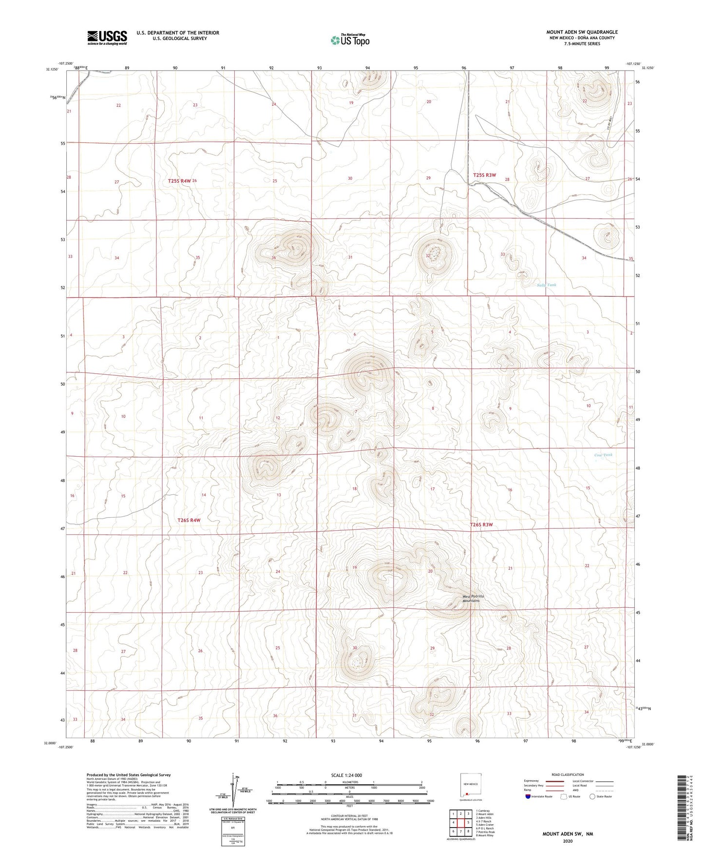
2023 topographic map quadrangle Mount Aden SW in the state of New Mexico. Scale: 1:24000. Based on the newly updated USGS 7.5' US Topo map series, this map is in the following counties: Doña Ana. The map contains contour data, water features, and other items you are used to seeing on USGS maps, but also has updated roads and other features. This is the next generation of topographic maps. Printed on high-quality waterproof paper with UV fade-resistant inks.
Quads adjacent to this one:
West: X-7 Ranch
Northwest: Cambray
North: Mount Aden
Northeast: Aden Hills
East: Aden Crater
Southeast: Mount Riley
South: Potrillo Peak
Southwest: P O L Ranch
This map covers the same area as the classic USGS quad with code o32107a2.
Contains the following named places: Cow Tank, Junes Mill, Sally Tank, West Potrillo Mountains, West Tub