MyTopo
Pine Canyon New Mexico US Topo Map
Couldn't load pickup availability
Also explore the Pine Canyon Forest Service Topo of this same quad for updated USFS data
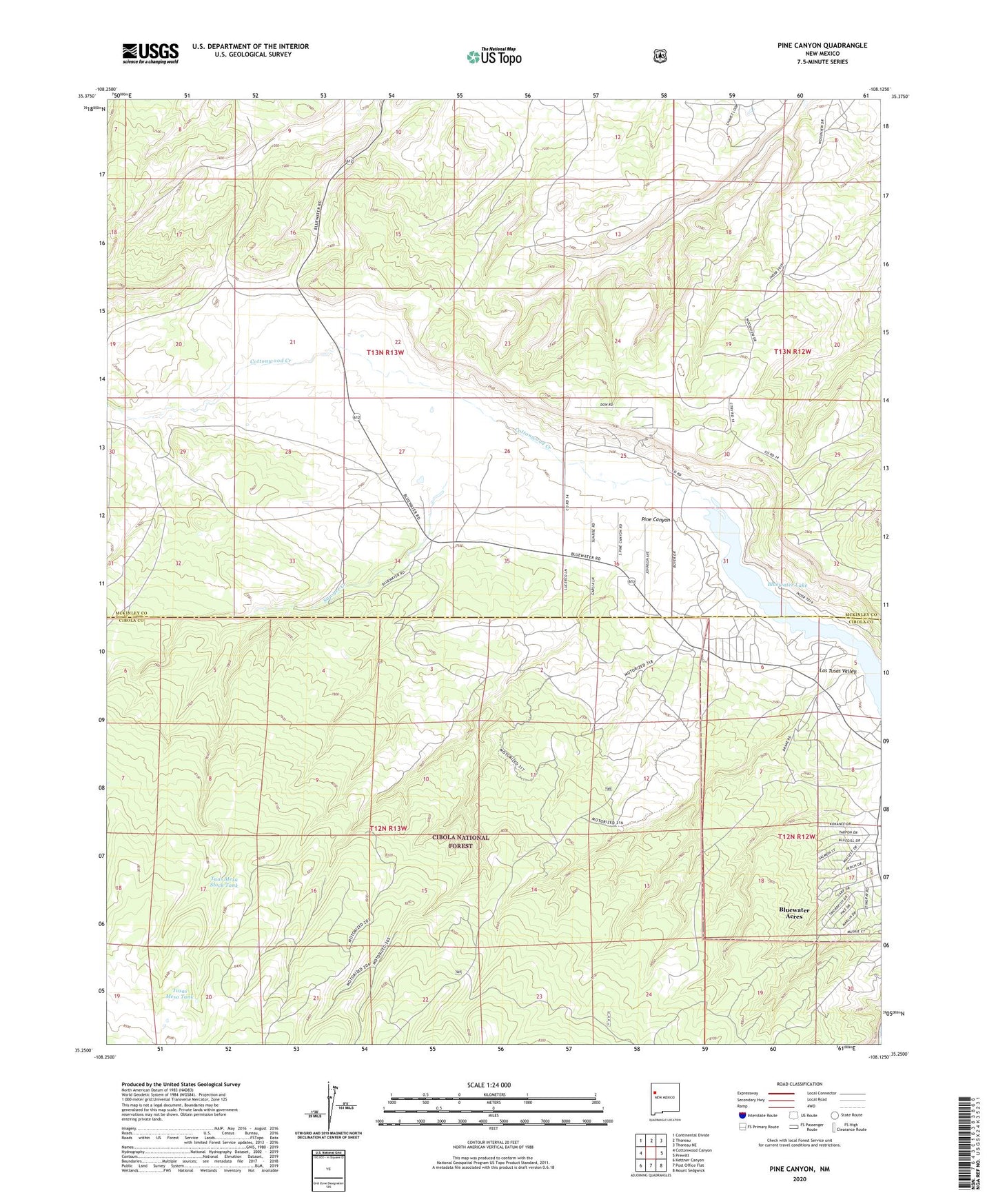
2023 topographic map quadrangle Pine Canyon in the state of New Mexico. Scale: 1:24000. Based on the newly updated USGS 7.5' US Topo map series, this map is in the following counties: Cibola, McKinley. The map contains contour data, water features, and other items you are used to seeing on USGS maps, but also has updated roads and other features. This is the next generation of topographic maps. Printed on high-quality waterproof paper with UV fade-resistant inks.
Quads adjacent to this one:
West: Cottonwood Canyon
Northwest: Continental Divide
North: Thoreau
Northeast: Thoreau NE
East: Prewitt
Southeast: Mount Sedgwick
South: Post Office Flat
Southwest: Kettner Canyon
This map covers the same area as the classic USGS quad with code o35108c2.
Contains the following named places: Bluewater, Bluewater Census Designated Place, Bluewater Lake, Cottonwood Creek, Cottonwood Gulch Camp, Ford Ranch, Hall, Kimbler Pit, Las Tusas Census Designated Place, Las Tusas Valley, Pine Canyon, Sawyer Creek, Stallings, Tuas Mesa Stock Tank, Tusas Mesa Tank