MyTopo
Orogrande North New Mexico US Topo Map
Couldn't load pickup availability
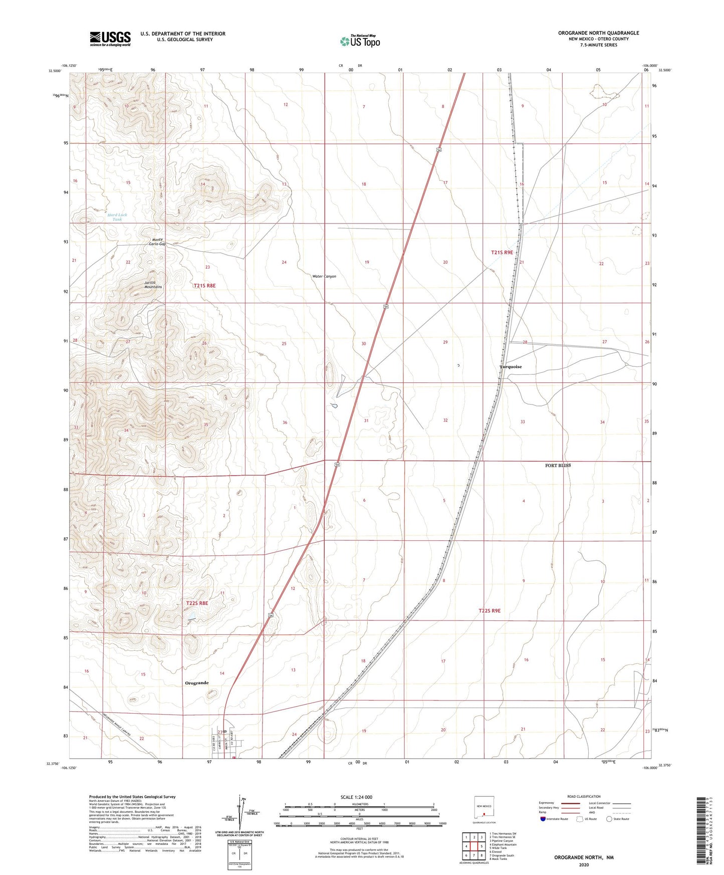
2023 topographic map quadrangle Orogrande North in the state of New Mexico. Scale: 1:24000. Based on the newly updated USGS 7.5' US Topo map series, this map is in the following counties: Otero. The map contains contour data, water features, and other items you are used to seeing on USGS maps, but also has updated roads and other features. This is the next generation of topographic maps. Printed on high-quality waterproof paper with UV fade-resistant inks.
Quads adjacent to this one:
West: Elephant Mountain
Northwest: Tres Hermanos SW
North: Tres Hermanos SE
Northeast: Pipeline Canyon
East: Wilde Tank
Southeast: Mack Tanks
South: Orogrande South
Southwest: Elwood
This map covers the same area as the classic USGS quad with code o32106d1.
Contains the following named places: Alice Mine, Benton Well, Garnet Mine, Hard Luck Tank, Iron Queen Mine, Jarilla Mountains, Launch Control, Little Joe Mine, Mannie Baird Mine, Monte Carlo Gap, Orogrande Census Designated Place, Orogrande Post Office, Orogrande Volunteer Fire Department, Turquoise, Water Canyon, ZIP Code: 88342