MyTopo
Tres Hermanos SE New Mexico US Topo Map
Couldn't load pickup availability
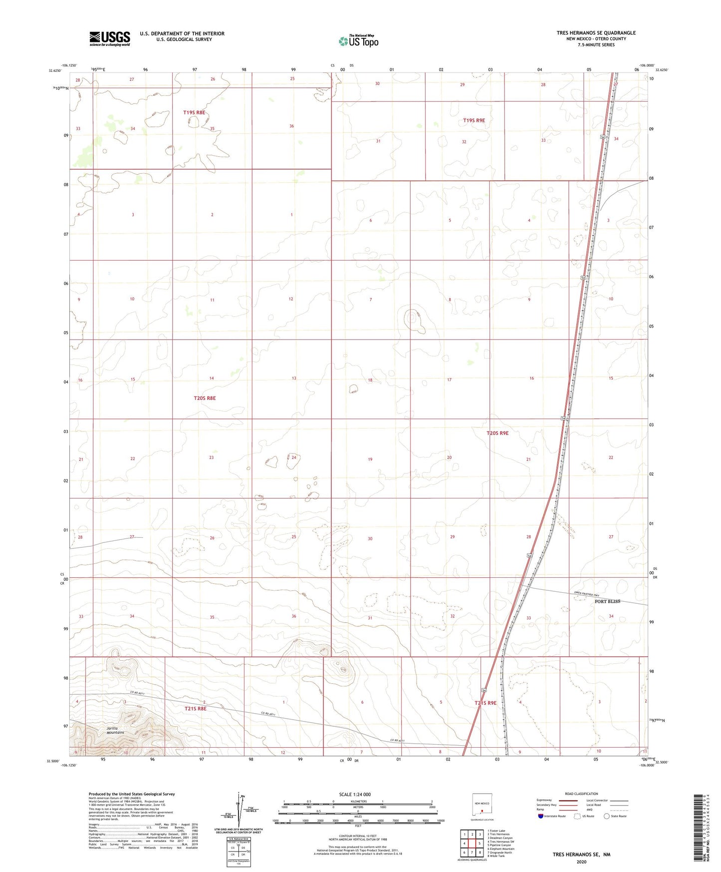
2023 topographic map quadrangle Tres Hermanos SE in the state of New Mexico. Scale: 1:24000. Based on the newly updated USGS 7.5' US Topo map series, this map is in the following counties: Otero. The map contains contour data, water features, and other items you are used to seeing on USGS maps, but also has updated roads and other features. This is the next generation of topographic maps. Printed on high-quality waterproof paper with UV fade-resistant inks.
Quads adjacent to this one:
West: Tres Hermanos SW
Northwest: Foster Lake
North: Tres Hermanos
Northeast: Deadman Canyon
East: Pipeline Canyon
Southeast: Wilde Tank
South: Orogrande North
Southwest: Elephant Mountain
This map covers the same area as the classic USGS quad with code o32106e1.
Contains the following named places: Escondida Crossing, Escondida Siding, Escondida Well, Moody Tank, Olden Ranch, Paxton Crossing, Paxton Siding, Paxton Well