MyTopo
Penasco New Mexico US Topo Map
Couldn't load pickup availability
Also explore the Penasco Forest Service Topo of this same quad for updated USFS data
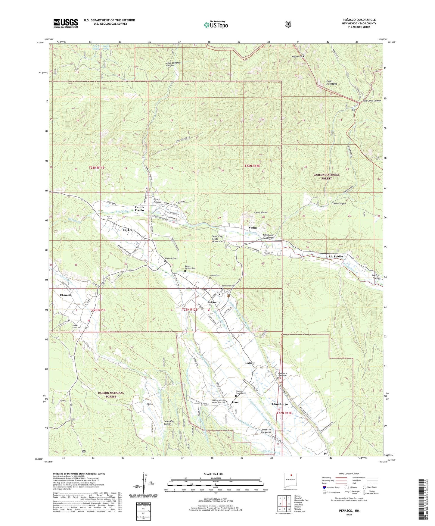
2023 topographic map quadrangle Penasco in the state of New Mexico. Scale: 1:24000. Based on the newly updated USGS 7.5' US Topo map series, this map is in the following counties: Taos. The map contains contour data, water features, and other items you are used to seeing on USGS maps, but also has updated roads and other features. This is the next generation of topographic maps. Printed on high-quality waterproof paper with UV fade-resistant inks.
Quads adjacent to this one:
West: Trampas
Northwest: Carson
North: Taos SW
Northeast: Ranchos De Taos
East: Tres Ritos
Southeast: Jicarita Peak
South: El Valle
Southwest: Truchas
This map covers the same area as the classic USGS quad with code o36105b6.
Contains the following named places: 10043 Water Well, 10044 Water Well, 87553, Acequia del Llano de la Yegua, Acequia Madre de Llano San Juan, Acequia Madre de Santa Barbara, Acequia Monte, Borrego Canyon, Camino Real District Ranger Office, Camino Real Forest Service Station, Canada de la Plaza, Canada de las Moras, Canada de los Alamos, Canada los Moras, Cebadilla Canyon, Cerro Blanco, Chamisal, Chamisal Census Designated Place, Chamisal Post Office, Chamizal Ditch, Chamizal -Ojito Tracts, Church of Christ, El Camino Real, Faith Christian School, Green Mountain Group, Griego Cemetery, Health Centers of Northern New Mex Penasco Clinic, KRBJ-FM (Taos), KTAO-FM (Taos), Laureano Cordova Mill Historic Site, Lauriano Cordova Memorial Musuem, Llano, Llano de la Yegua Cemetery, Llano Largo, Llano Post Office, Llano Santa Barbara Tract, Morada de Llano de San Juan Cemetery, Nueva Vida Spanish Assembly of God, Number 1 Water Well, Ojito, Osha Canyon, Penasco, Penasco Administrative Site, Penasco Ambulance Service, Penasco Census Designated Place, Penasco Division, Penasco Elementary School, Penasco Fire District Station 1, Penasco Fire District Station 2, Penasco High School, Penasco Junior High School, Penasco Post Office, Penasco Ranger Station, Penasco Weather Station, Picuris Canyon, Picuris Division, Picuris Mountains, Picuris Peak, Picuris Pueblo, Picuris Pueblo Census Designated Place, Picuris Pueblo Grant, Picuris Pueblo Museum Center, Pueblo of Picuris Historical Marker, Ramon Sanchez Cemetery, RG 32550 Water Well, RG-26430 Water Well, RG-26474 Water Well, Rio Chiquito, Rio Lucio, Rio Lucio Cemetery, Rio Lucio Census Designated Place, Rio Lucio Post Office, Rio Pueblo, Rio Pueblo Post Office, Rio Santa Barbara, Rodarte, Rodarte Post Office, Saint Anthony Church, Saint Anthony School, San Acacio Church, San Antonio De Padua Church, San Lorenzo Church, San Pedro Cemetery, Santa Cruz Cemetery, Telephone Canyon, United Emanuel Church, Vadito, Vadito Census Designated Place, Vadito Post Office, Virgilio Trujillo Cemetery


