MyTopo
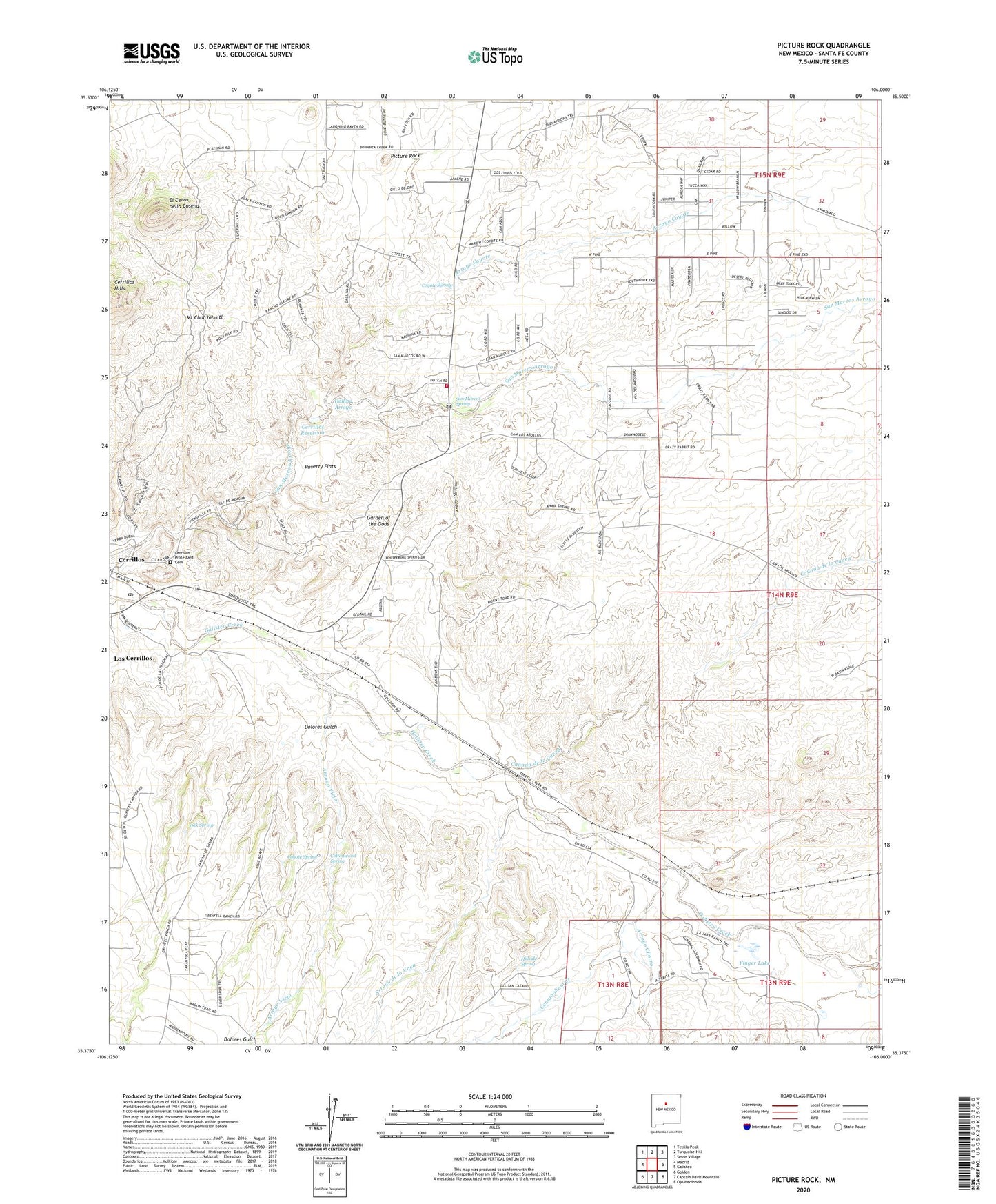
Picture Rock New Mexico US Topo Map
Couldn't load pickup availability
2023 topographic map quadrangle Picture Rock in the state of New Mexico. Scale: 1:24000. Based on the newly updated USGS 7.5' US Topo map series, this map is in the following counties: Santa Fe. The map contains contour data, water features, and other items you are used to seeing on USGS maps, but also has updated roads and other features. This is the next generation of topographic maps. Printed on high-quality waterproof paper with UV fade-resistant inks.
Quads adjacent to this one:
West: Madrid
Northwest: Tetilla Peak
North: Turquoise Hill
Northeast: Seton Village
East: Galisteo
Southeast: Ojo Hedionda
South: Captain Davis Mountain
Southwest: Golden
This map covers the same area as the classic USGS quad with code o35106d1.
Contains the following named places: 10209 Water Well, Arroyo Chorro, Arroyo Coyote, Arroyo de la Vaca, Arroyo Jara, Arroyo Viejo, Canada de la Cueva, Cash Entry Mine, Cerrillos, Cerrillos Post Office, Cerrillos Protestant Cemetery, Cerrillos Reservoir, Consolidated Milling and Mining Company, Cottonwood Spring, Coyote Spring, Cunningham Creek, Dolores Gulch, Duram Laboratories Incorporated, E 85-S5 Water Well, El Cerro della Cosena, Finger Lake, Franklin Mine, Galisteo, Gallina Arroyo, Garden of the Gods, Garden of the Gods Historical Marker, Henderson Windmill, Hillside Spring, Los Cerrillos Census Designated Place, Los Cerrilos, Mee, Mina de Terra Mine, Mina Del Tiro, Mount Chalchihuitl, Movie Ranch Water Well, Oak Spring, Picture Rock, Poverty Flats, RG-13214 Water Well, RG-15702 Water Well, RG-18333 Water Well, RG-18380 Water Well, RG-19106 Water Well, RG-19252 Water Well, RG-19831 Water Well, RG-20177 Water Well, RG-22186 Water Well, RG-22752 Water Well, RG-22840 Water Well, RG-22915 Water Well, RG-24423 Water Well, RG-24629X5 Water Well, RG-24629X6 Water Well, RG-24629X7 Water Well, RG-24629X8 Water Well, RG-24749 WAter Well, RG-25247 Water Well, RG-26046 Water Well, RG-26341 Water Well, RG-26502-X Water Well, RG-26994 Water Well, RG-27187 Water Well, RG-27604 Water Well, RG-27617 Water Well, RG-27758 Water Well, RG-27923 Water Well, RG-28132 Water Well, RG-28290 Water Well, RG-28347 Water Well, RG-28436 Water Well, RG-28715 Water Well, RG-29041 Water Well, RG-29082 Water Well, RG-29103-1 Water Well, RG-29103-2 Water Well, RG-29103-3 Water Well, RG-29104 Water Well, RG-29432 Water Well, RG-29998 Water Well, RG-30318 Water Well, RG-30382 Water Well, RG-30690 Water Well, RG-31004 Water Well, RG-31417 Water Well, RG-32087 Water Well, RG-32513 Water Well, RG-8989 Water Well, RGT-30172 Water Well, San Marcos Arroyo, San Marcos Pueblo Grant, San Marcos Spring, Santa Ana Pueblo Library, Santa Fe County Volunteer Fire Turquoise Trail District Station 2, Turquoise Mines, Yellow Pearl Placer


