MyTopo
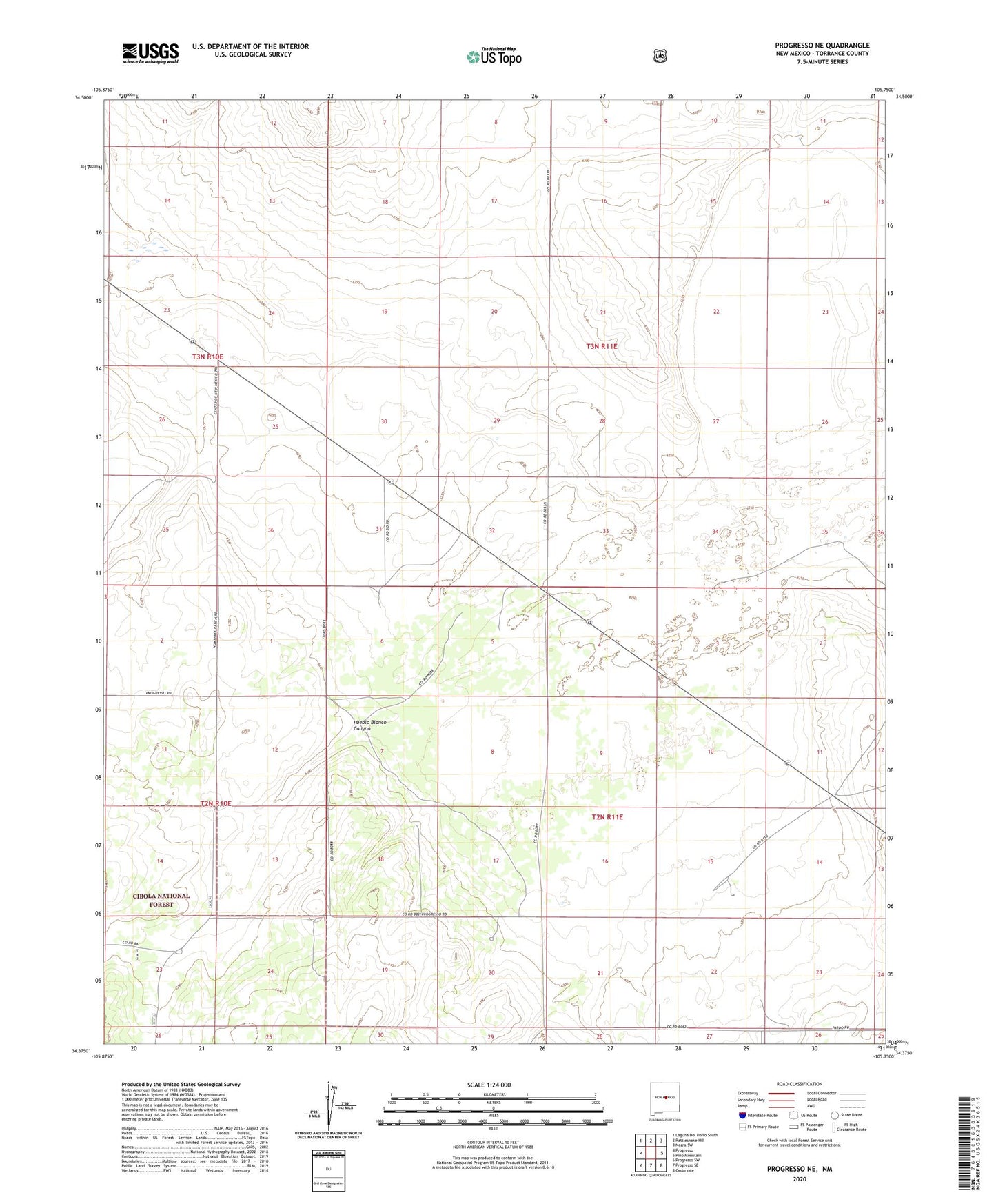
Progresso NE New Mexico US Topo Map
Couldn't load pickup availability
Also explore the Progresso NE Forest Service Topo of this same quad for updated USFS data
2023 topographic map quadrangle Progresso NE in the state of New Mexico. Scale: 1:24000. Based on the newly updated USGS 7.5' US Topo map series, this map is in the following counties: Torrance. The map contains contour data, water features, and other items you are used to seeing on USGS maps, but also has updated roads and other features. This is the next generation of topographic maps. Printed on high-quality waterproof paper with UV fade-resistant inks.
Quads adjacent to this one:
West: Progresso
Northwest: Laguna Del Perro South
North: Rattlesnake Hill
Northeast: Negra SW
East: Pino Mountain
Southeast: Cedarvale
South: Progresso SE
Southwest: Progresso SW
This map covers the same area as the classic USGS quad with code o34105d7.
Contains the following named places: Beedle Windmill, Devaney Ranch, Devaney Windmill, Gustins Ranch, Hobbs Ranch, McGoragill Ranch, Pound Ranch, Pueblo Blanco Canyon, Sharp Ranch