MyTopo
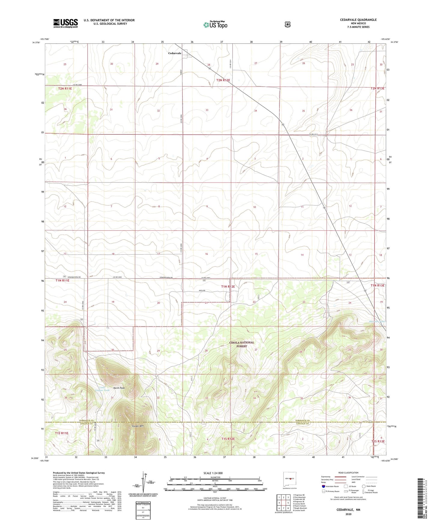
Cedarvale New Mexico US Topo Map
Couldn't load pickup availability
Also explore the Cedarvale Forest Service Topo of this same quad for updated USFS data
2023 topographic map quadrangle Cedarvale in the state of New Mexico. Scale: 1:24000. Based on the newly updated USGS 7.5' US Topo map series, this map is in the following counties: Torrance, Lincoln. The map contains contour data, water features, and other items you are used to seeing on USGS maps, but also has updated roads and other features. This is the next generation of topographic maps. Printed on high-quality waterproof paper with UV fade-resistant inks.
Quads adjacent to this one:
West: Progresso SE
Northwest: Progresso NE
North: Pino Mountain
Northeast: Cedarvale NE
East: Corona North
Southeast: Corona South
South: Rough Mountain
Southwest: Pajaro Canyon
This map covers the same area as the classic USGS quad with code o34105c6.
Contains the following named places: Cedarvale, Cedarvale Post Office, Corona Airport, Corona Lake Tank, Corona Trick Tank, Cougar Mountain, Forest Tank, Fox Ranch, Herring Windmill, Little Cougar Tank, Lobo Tank, Middle Tank, Miller, Miller Ranch, North Peak, Shartzer Windmill