MyTopo
Rayado New Mexico US Topo Map
Couldn't load pickup availability
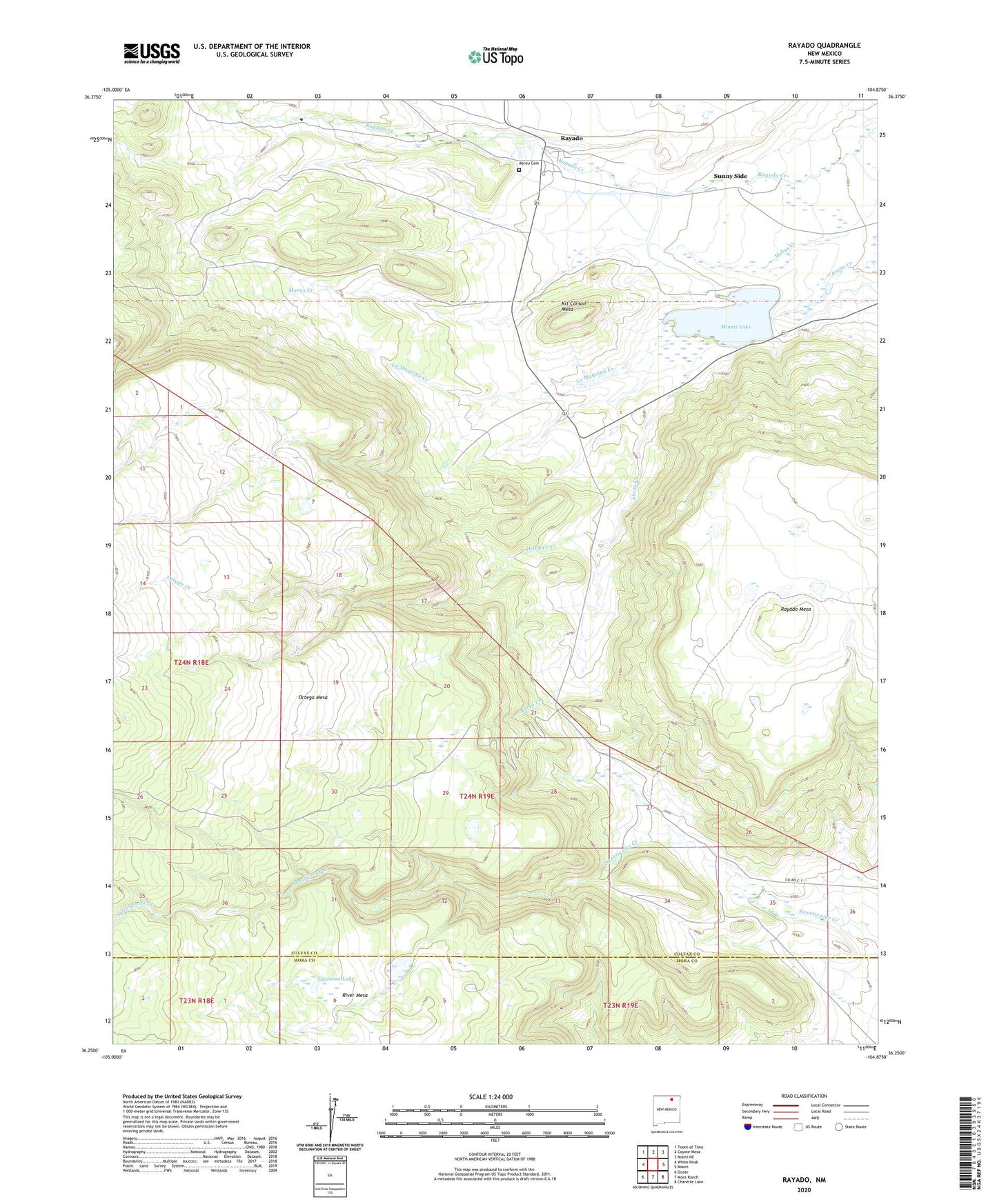
2023 topographic map quadrangle Rayado in the state of New Mexico. Scale: 1:24000. Based on the newly updated USGS 7.5' US Topo map series, this map is in the following counties: Colfax, Mora. The map contains contour data, water features, and other items you are used to seeing on USGS maps, but also has updated roads and other features. This is the next generation of topographic maps. Printed on high-quality waterproof paper with UV fade-resistant inks.
Quads adjacent to this one:
West: White Peak
Northwest: Tooth of Time
North: Coyote Mesa
Northeast: Miami NE
East: Miami
Southeast: Charette Lake
South: Mora Ranch
Southwest: Ocate
This map covers the same area as the classic USGS quad with code o36104c8.
Contains the following named places: Abreu Cemetery, Espinosa Lake, Goat Camp, Kit Carson Mesa, Kit Carson Museum, La Maquina Creek, Miami Lake, Miami Lake Number Two Dam, Olympia Camp, Ortega Creek, Rayado, Rayado Camp, Rayado Historic District, Rayado Post Office, Sunny Side, Sweetwater, Sweetwater Cow Camp