MyTopo
Chivata Canyon New Mexico US Topo Map
Couldn't load pickup availability
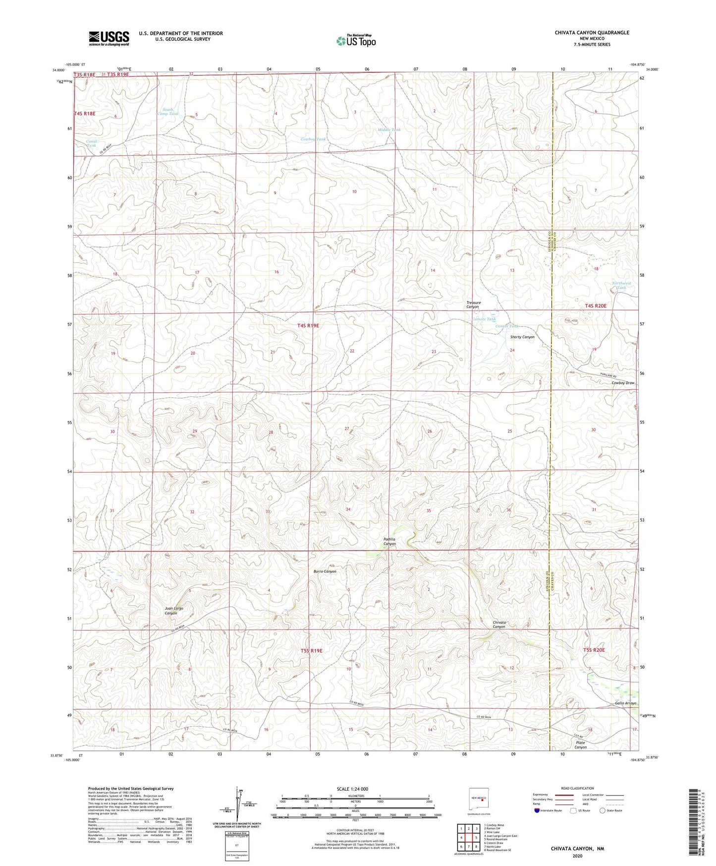
2023 topographic map quadrangle Chivata Canyon in the state of New Mexico. Scale: 1:24000. Based on the newly updated USGS 7.5' US Topo map series, this map is in the following counties: Lincoln, Chaves. The map contains contour data, water features, and other items you are used to seeing on USGS maps, but also has updated roads and other features. This is the next generation of topographic maps. Printed on high-quality waterproof paper with UV fade-resistant inks.
Quads adjacent to this one:
West: Juan Largo Canyon East
Northwest: Cowboy Mesa
North: Ramon SW
Northeast: Wire Lake
East: Round Mountain
Southeast: Round Mountain SE
South: North Lake
Southwest: Cistern Draw
Contains the following named places: Antelope Well, Booster Windmill, Burro Canyon, Camote Tank, Canal Tank, Chivata Canyon, Circle F Ranch, Connel Tank, Connel Well, Cowboy Tank, Cowboy Well, Juan Largo Canyon, Middle Tank, North Windmill, Northwest Tank, Padilla Canyon, Plate Canyon, Shorty Canyon, South Camp Tank, Treasure Canyon, West Well