MyTopo
Saladone Tank New Mexico US Topo Map
Couldn't load pickup availability
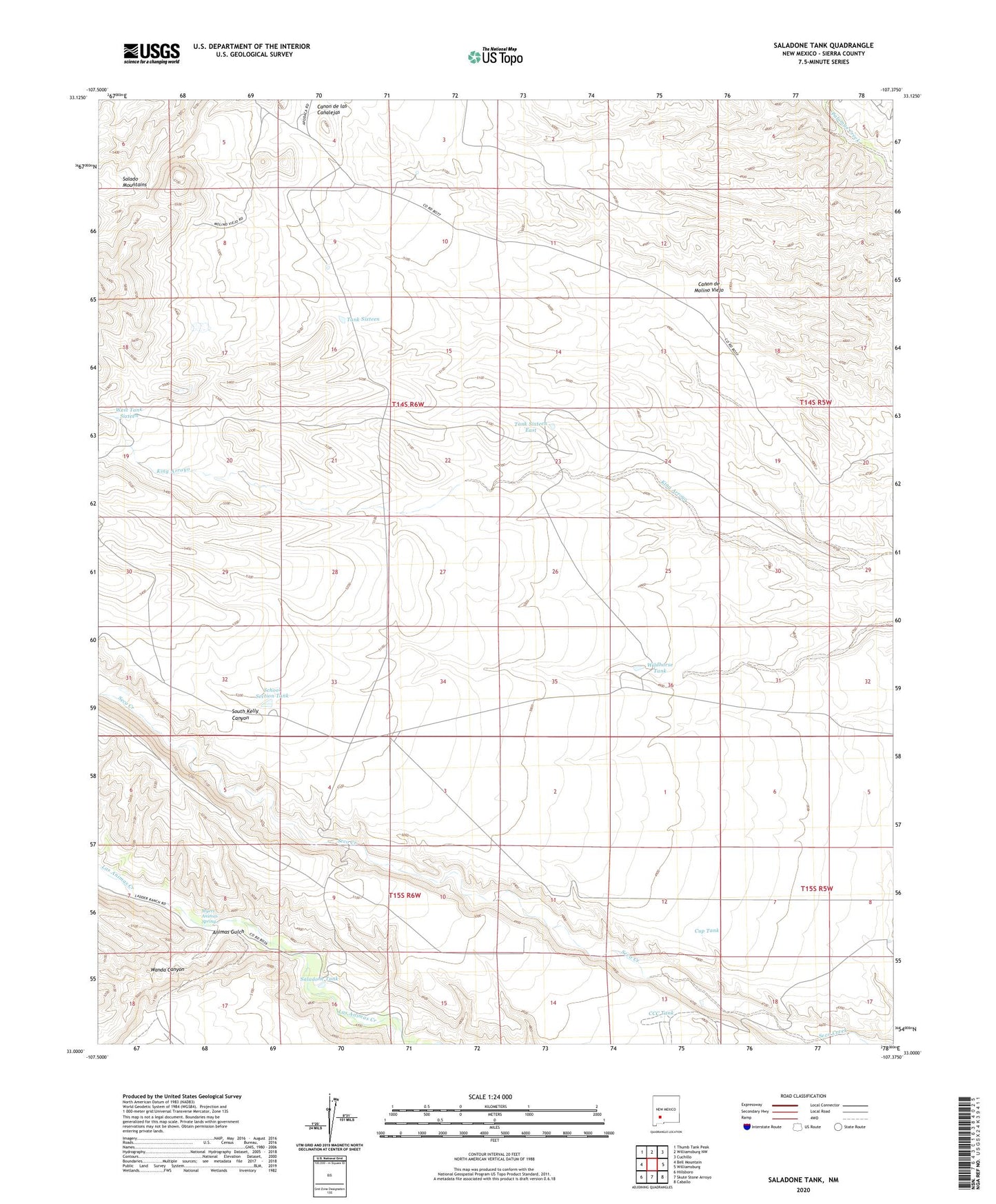
2023 topographic map quadrangle Saladone Tank in the state of New Mexico. Scale: 1:24000. Based on the newly updated USGS 7.5' US Topo map series, this map is in the following counties: Sierra. The map contains contour data, water features, and other items you are used to seeing on USGS maps, but also has updated roads and other features. This is the next generation of topographic maps. Printed on high-quality waterproof paper with UV fade-resistant inks.
Quads adjacent to this one:
West: Bell Mountain
Northwest: Thumb Tank Peak
North: Williamsburg NW
Northeast: Cuchillo
East: Williamsburg
Southeast: Caballo
South: Skute Stone Arroyo
Southwest: Hillsboro
This map covers the same area as the classic USGS quad with code o33107a4.
Contains the following named places: Animas Gulch, CCC Tank, Cup Tank, LA 3 Water Well, Myers Animas Spring, Saladone Tank, School Section Tank, Seco Windmill, Tank Sixteen, Tank Sixteen East, Wanda Canyon, West Tank Sixteen, Wild Horse Windmill, Wildhorse Tank, Windmill 16