MyTopo
Sibley Hole New Mexico US Topo Map
Couldn't load pickup availability
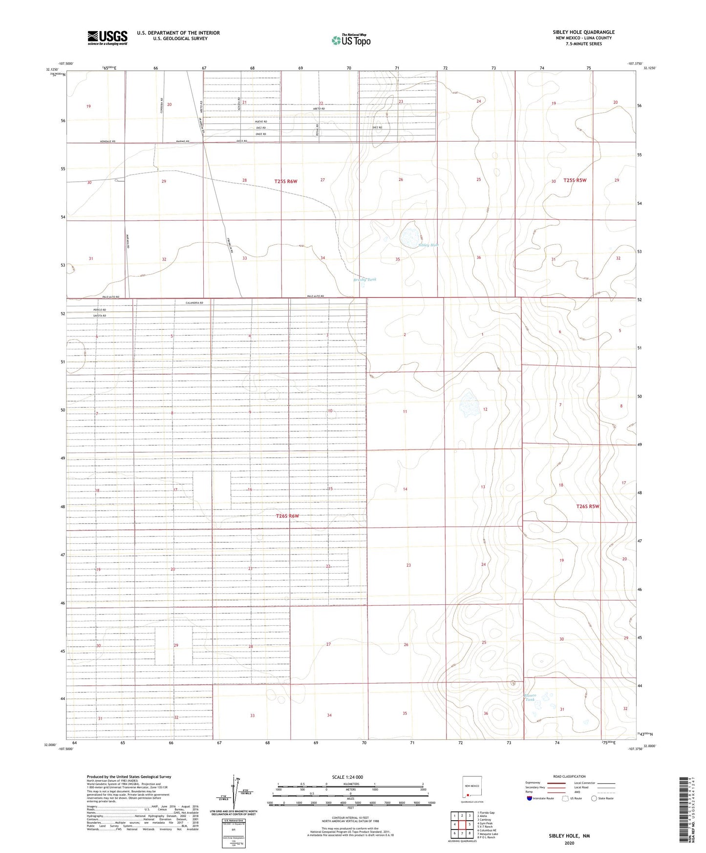
2020 topographic map quadrangle Sibley Hole in the state of New Mexico. Scale: 1:24000. Based on the newly updated USGS 7.5' US Topo map series, this map is in the following counties: Luna. The map contains contour data, water features, and other items you are used to seeing on USGS maps, but also has updated roads and other features. This is the next generation of topographic maps. Printed on high-quality waterproof paper with UV fade-resistant inks.
Quads adjacent to this one:
West: Gym Peak
Northwest: Florida Gap
North: Akela
Northeast: Cambray
East: X-7 Ranch
Southeast: P O L Ranch
South: Mesquite Lake
Southwest: Columbus NE
Contains the following named places: 01465 Water Well, 01628 Water Well, 01629 Water Well, 01678 Water Well, 06052 Water Well, 06053 Water Well, 06067 Water Well, 06068 Water Well, 06069 Water Well, 10292 Water Well, Blanco Tank, Board Ranch Windmill, Brushy Tank, High Lonesome Windmill, Sibley Hole, Wet King Mine, White House Ranch