MyTopo
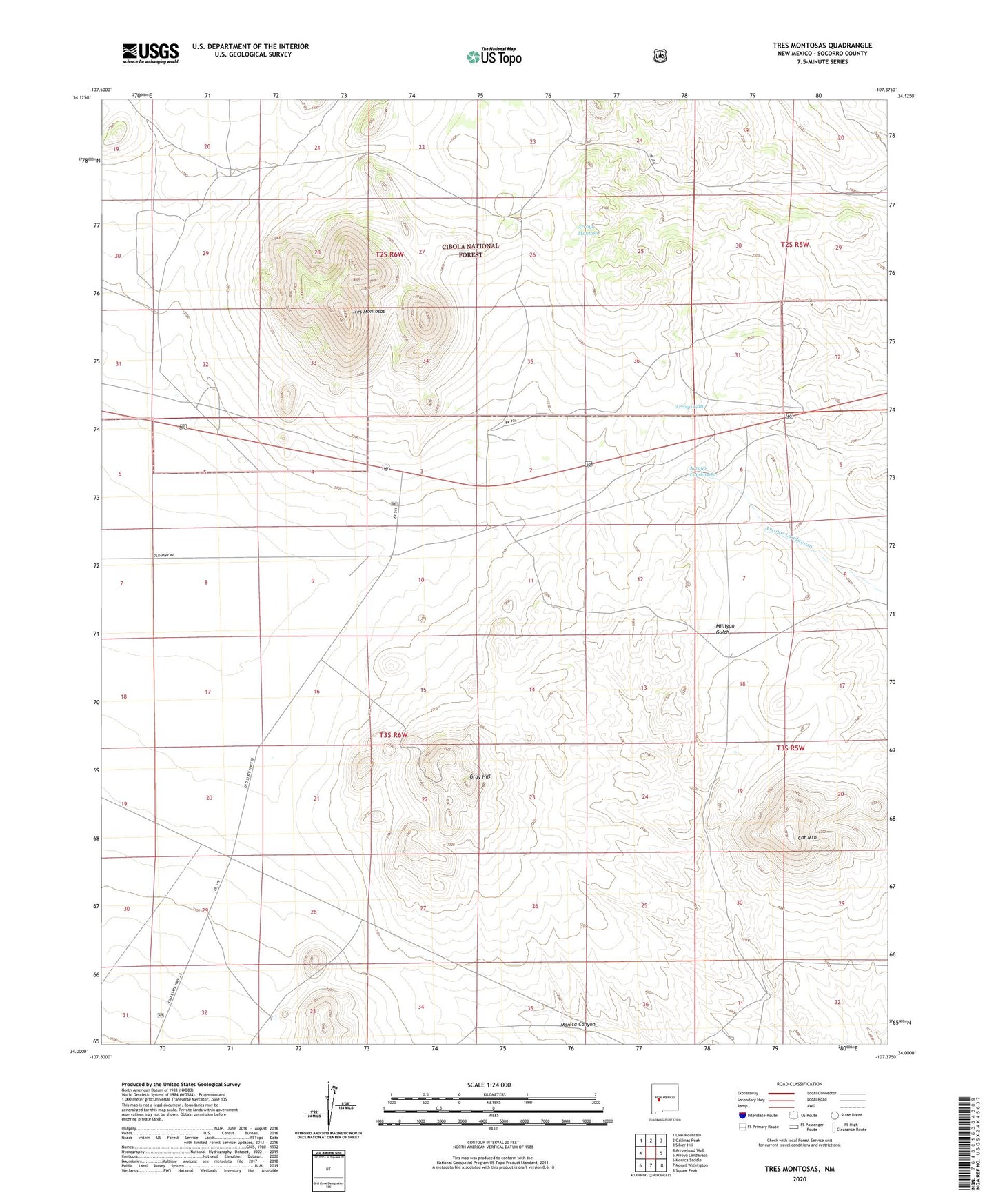
Tres Montosas New Mexico US Topo Map
Couldn't load pickup availability
Also explore the Tres Montosas Forest Service Topo of this same quad for updated USFS data
2023 topographic map quadrangle Tres Montosas in the state of New Mexico. Scale: 1:24000. Based on the newly updated USGS 7.5' US Topo map series, this map is in the following counties: Socorro. The map contains contour data, water features, and other items you are used to seeing on USGS maps, but also has updated roads and other features. This is the next generation of topographic maps. Printed on high-quality waterproof paper with UV fade-resistant inks.
Quads adjacent to this one:
West: Arrowhead Well
Northwest: Lion Mountain
North: Gallinas Peak
Northeast: Silver Hill
East: Arroyo Landavaso
Southeast: Squaw Peak
South: Mount Withington
Southwest: Monica Saddle
This map covers the same area as the classic USGS quad with code o34107a4.
Contains the following named places: Cat Mountain, Cat Mountain Ranch, Cedar Well, Cloud Camera Station, Evans Ranch, Gray Hill, Grey Water Well, Monica Canyon, Montosa Camp, New Well, Newest Water Well, Pine Tank, Pine Well, Tres Montosas, Wolf Wells