MyTopo
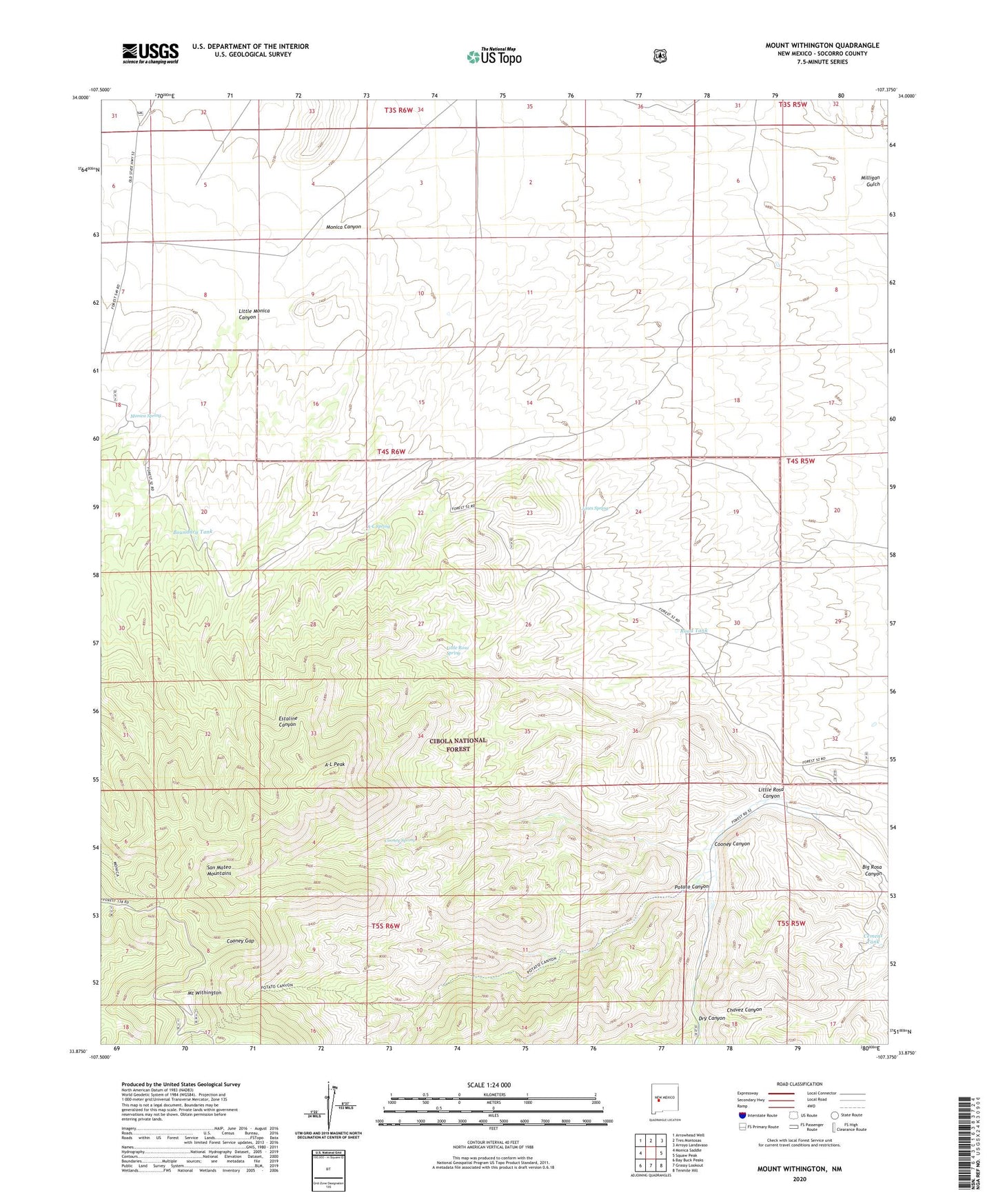
Mount Withington New Mexico US Topo Map
Couldn't load pickup availability
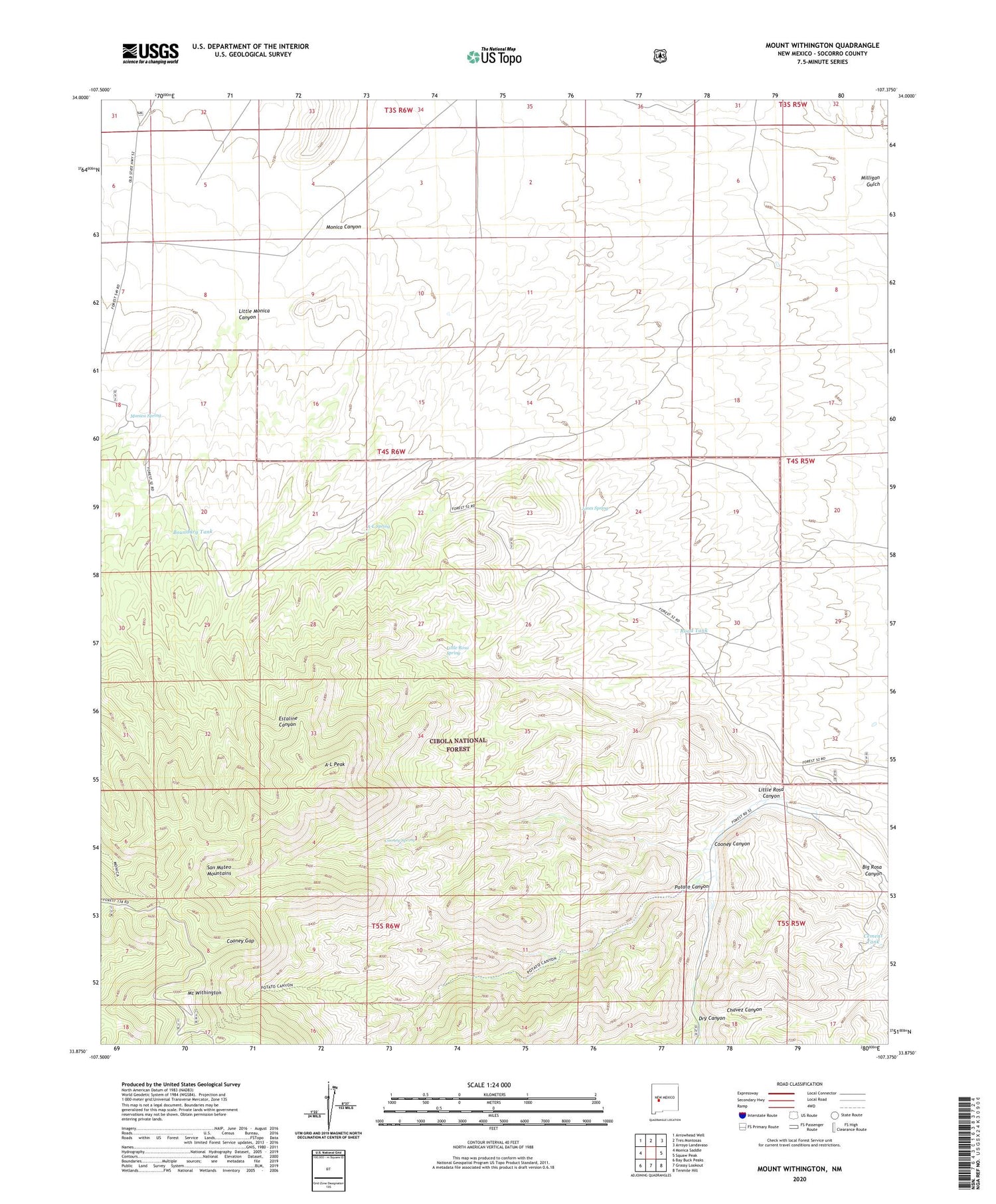
Also explore the Mount Withington Forest Service Topo of this same quad for updated USFS data
2023 topographic map quadrangle Mount Withington in the state of New Mexico. Scale: 1:24000. Based on the newly updated USGS 7.5' US Topo map series, this map is in the following counties: Socorro. The map contains contour data, water features, and other items you are used to seeing on USGS maps, but also has updated roads and other features. This is the next generation of topographic maps. Printed on high-quality waterproof paper with UV fade-resistant inks.
Quads adjacent to this one:
West: Monica Saddle
Northwest: Arrowhead Well
North: Tres Montosas
Northeast: Arroyo Landavaso
East: Squaw Peak
Southeast: Tenmile Hill
South: Grassy Lookout
Southwest: Bay Buck Peaks
This map covers the same area as the classic USGS quad with code o33107h4.
Contains the following named places: A-L Peak, A-L Spring, Boundary Tank, Cement Tank, Cooney Canyon, Cooney Gap, Cooney Spring, Cooney Windmill, Dry Canyon, Home Water Well, Jones Spring, Little Monica Canyon, Little Rosa Canyon, Little Rosa Spring, Monica, Monica Cab Water Well, Monica Cabin, Monica Post Office, Monica Spring, Mount Withington, New Well, Potato Canyon, Road Tank, Withington Wilderness