MyTopo
Tyrone New Mexico US Topo Map
Couldn't load pickup availability
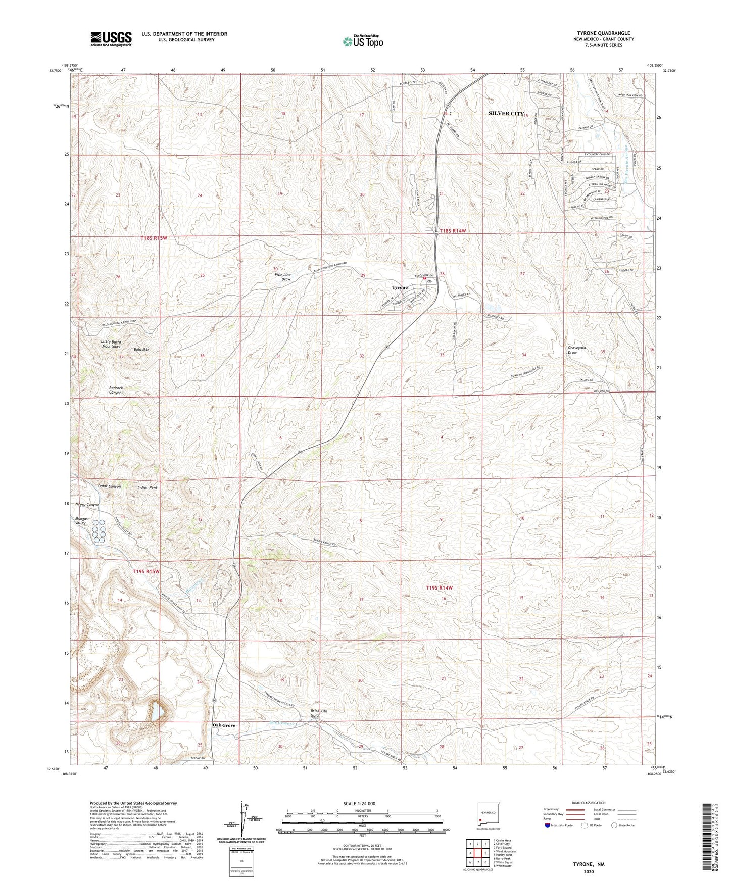
2023 topographic map quadrangle Tyrone in the state of New Mexico. Scale: 1:24000. Based on the newly updated USGS 7.5' US Topo map series, this map is in the following counties: Grant. The map contains contour data, water features, and other items you are used to seeing on USGS maps, but also has updated roads and other features. This is the next generation of topographic maps. Printed on high-quality waterproof paper with UV fade-resistant inks.
Quads adjacent to this one:
West: Wind Mountain
Northwest: Circle Mesa
North: Silver City
Northeast: Fort Bayard
East: Hurley West
Southeast: Whitewater
South: White Signal
Southwest: Burro Peak
This map covers the same area as the classic USGS quad with code o32108f3.
Contains the following named places: 00446 Water Well, 00452 Water Well, 00453 Water Well, 00456 Water Well, 00458 Water Well, 00464 Water Well, 00792 Water Well, 00795 Water Well, 00797 Water Well, 00805 Water Well, 10031 Water Well, 10032 Water Well, 10033 Water Well, 10037 Water Well, 88061, 88065, B Shaft, Bald Mountain, Brick Kiln Gulch, Burro Springs Historic Site, Cedar Canyon, Colored Windmill, Copper Gulf Shaft, G 451 Water Well, G 459 Water Well, G 800 Water Well, Gettysburg Shaft, Graveyard Draw, Harrison A Schmitt School, Indian Peak, Little Burro Mountains, Niagara Gulch, Niagara Tunnel, Number 2 Shaft, Number 3 Shaft, Oak Grove, Oraman, Racket Shaft, Silver Acres, Silver King-Mystery Groups, Turner Ridgeport Airport, Tyrone, Tyrone Census Designated Place, Tyrone Mill, Tyrone Mine, Tyrone Post Office, Tyrone Volunteer Fire Department, Virtue Mine


