MyTopo
Upham Hills New Mexico US Topo Map
Couldn't load pickup availability
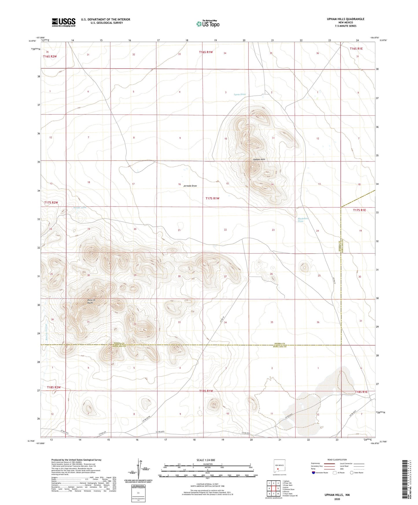
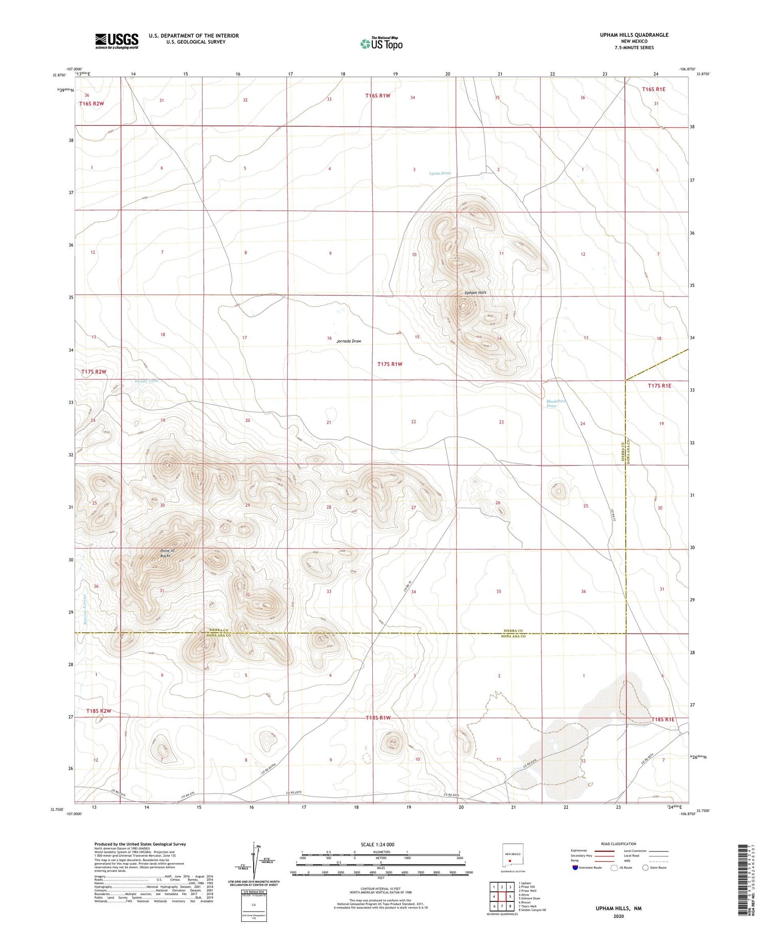
2020 topographic map quadrangle Upham Hills in the state of New Mexico. Scale: 1:24000. Based on the newly updated USGS 7.5' US Topo map series, this map is in the following counties: Sierra, Doña Ana. The map contains contour data, water features, and other items you are used to seeing on USGS maps, but also has updated roads and other features. This is the next generation of topographic maps. Printed on high-quality waterproof paper with UV fade-resistant inks.
Quads adjacent to this one:
West: Alivio
Northwest: Upham
North: Prisor Hill
Northeast: Prisor Well
East: Gilmore Draw
Southeast: Selden Canyon NE
South: Thorn Well
Southwest: Rincon
Contains the following named places: Blackshire Draw, Broke Tank, Chicken Well, Flat Lake, Flat Lake Ranch, Houge Tank, Jornada Draw, Kacy Tank, Lyons Draw, Point of Rocks, Pot Hole Tank, Rawls Farm, Turner Tank, Upham Hills