MyTopo
Weber City New Mexico US Topo Map
Couldn't load pickup availability
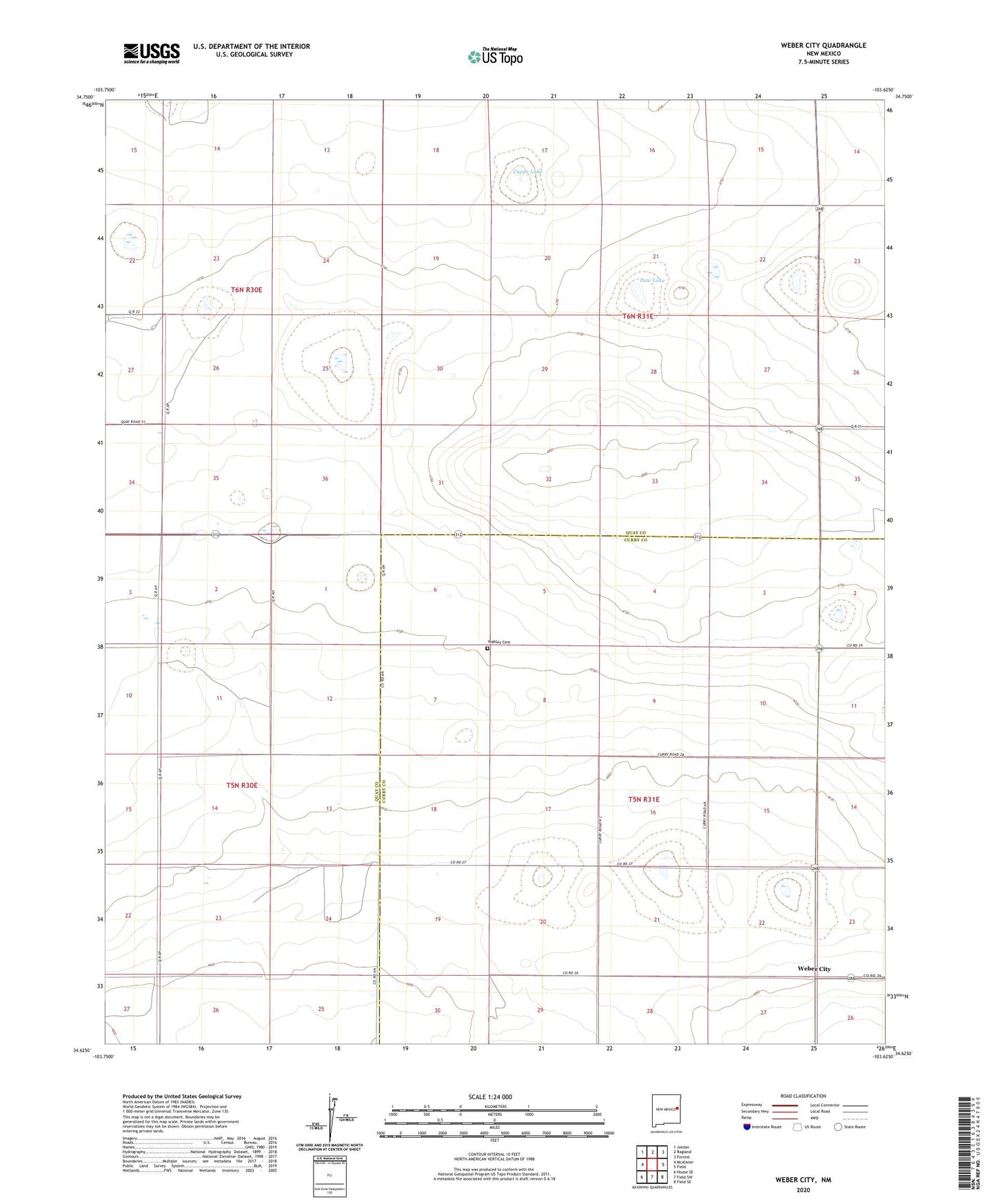
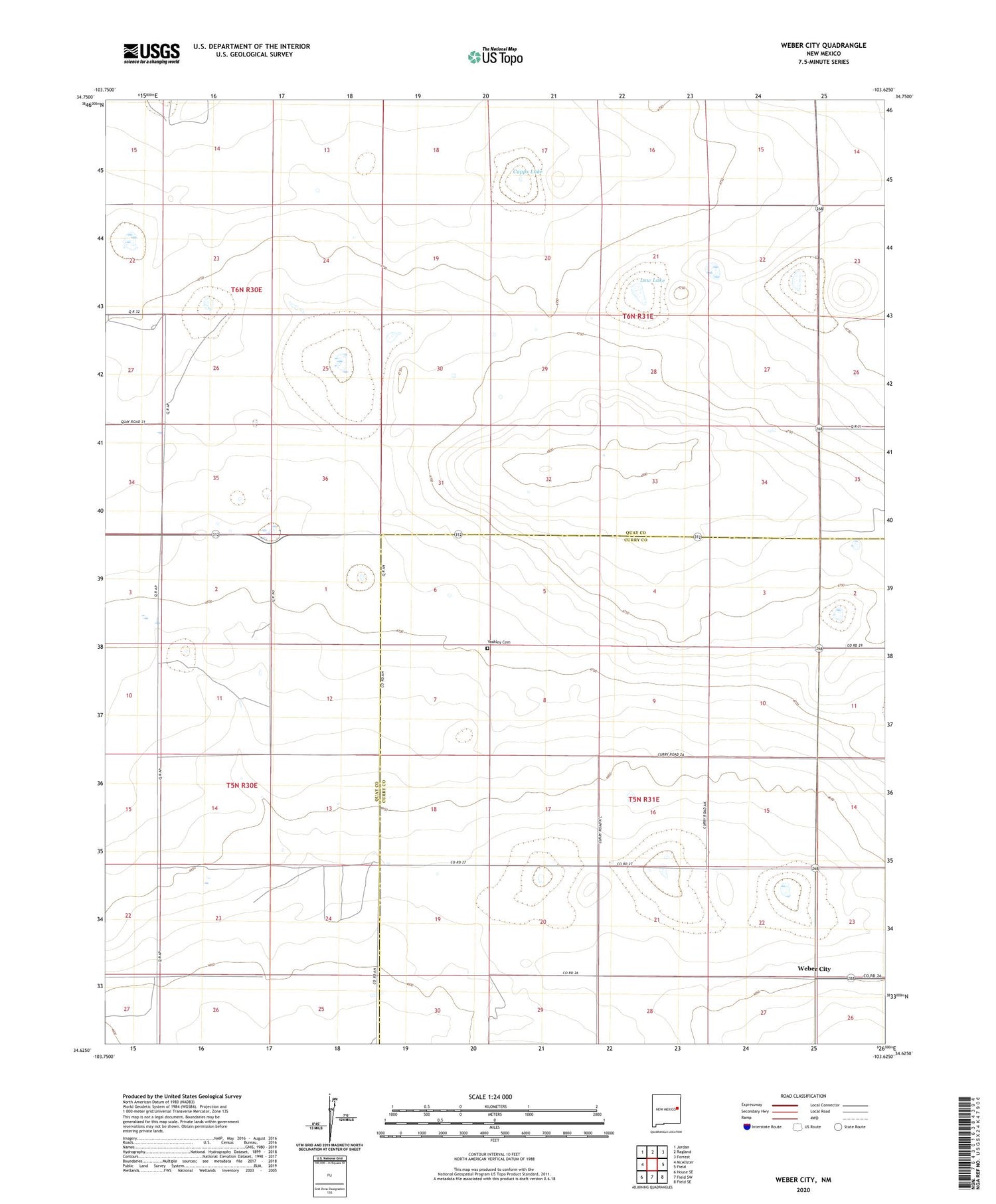
2020 topographic map quadrangle Weber City in the state of New Mexico. Scale: 1:24000. Based on the newly updated USGS 7.5' US Topo map series, this map is in the following counties: Quay, Curry. The map contains contour data, water features, and other items you are used to seeing on USGS maps, but also has updated roads and other features. This is the next generation of topographic maps. Printed on high-quality waterproof paper with UV fade-resistant inks.
Quads adjacent to this one:
West: McAlister
Northwest: Jordan
North: Ragland
Northeast: Forrest
East: Field
Southeast: Field SE
South: Field SW
Southwest: House SE
Contains the following named places: 10262 Water Well, 10263 Water Well, 10266 Water Well, 10267 Water Well, 10268 Water Well, 10301 Water Well, 10389 Water Well, 10392 Water Well, 10393 Water Well, 10397 Water Well, 10399 Water Well, 10500 Water Well, 10501 Water Well, 10502 Water Well, 10511 Water Well, 10512 Water Well, 10514 Water Well, 10516 Water Well, 10517 Water Well, 10518 Water Well, 10522 Water Well, 10523 Water Well, 10630 Water Well, 10662 Water Well, 10663 Water Well, 10664 Water Well, 10687 Water Well, 10695 Water Well, 10699 Water Well, 10700 Water Well, 10701 Water Well, 10730 Water Well, 10781 Water Well, 10782 Water Well, 10784 Water Well, 10857 Water Well, 10859 Water Well, Austin Well, Brittain Well, Capps Lake, Law Lake, Law Well, New Law Well, Ritter Well, Weber City, Yeakley Cemetery