MyTopo
Willow Draw New Mexico US Topo Map
Couldn't load pickup availability
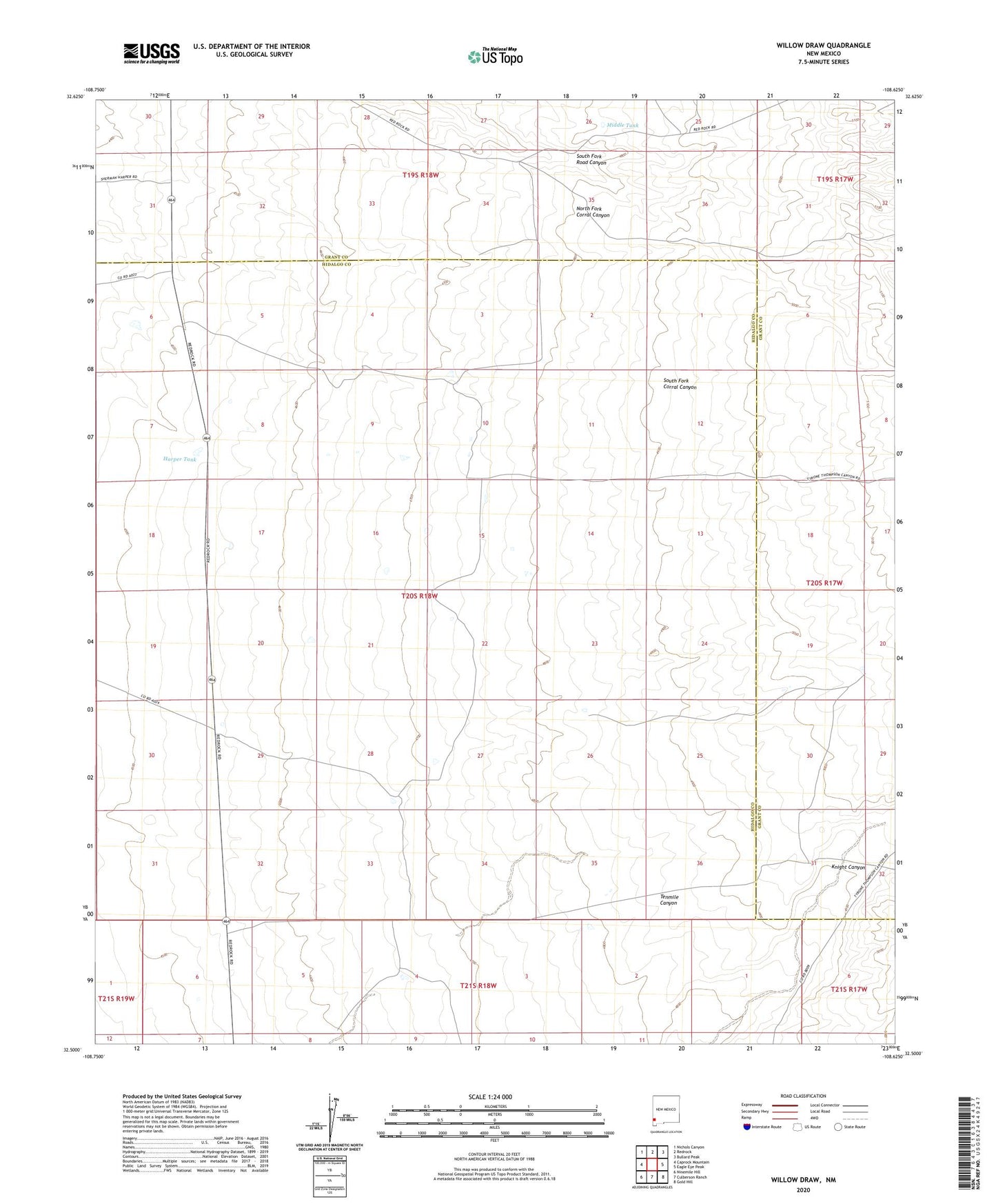
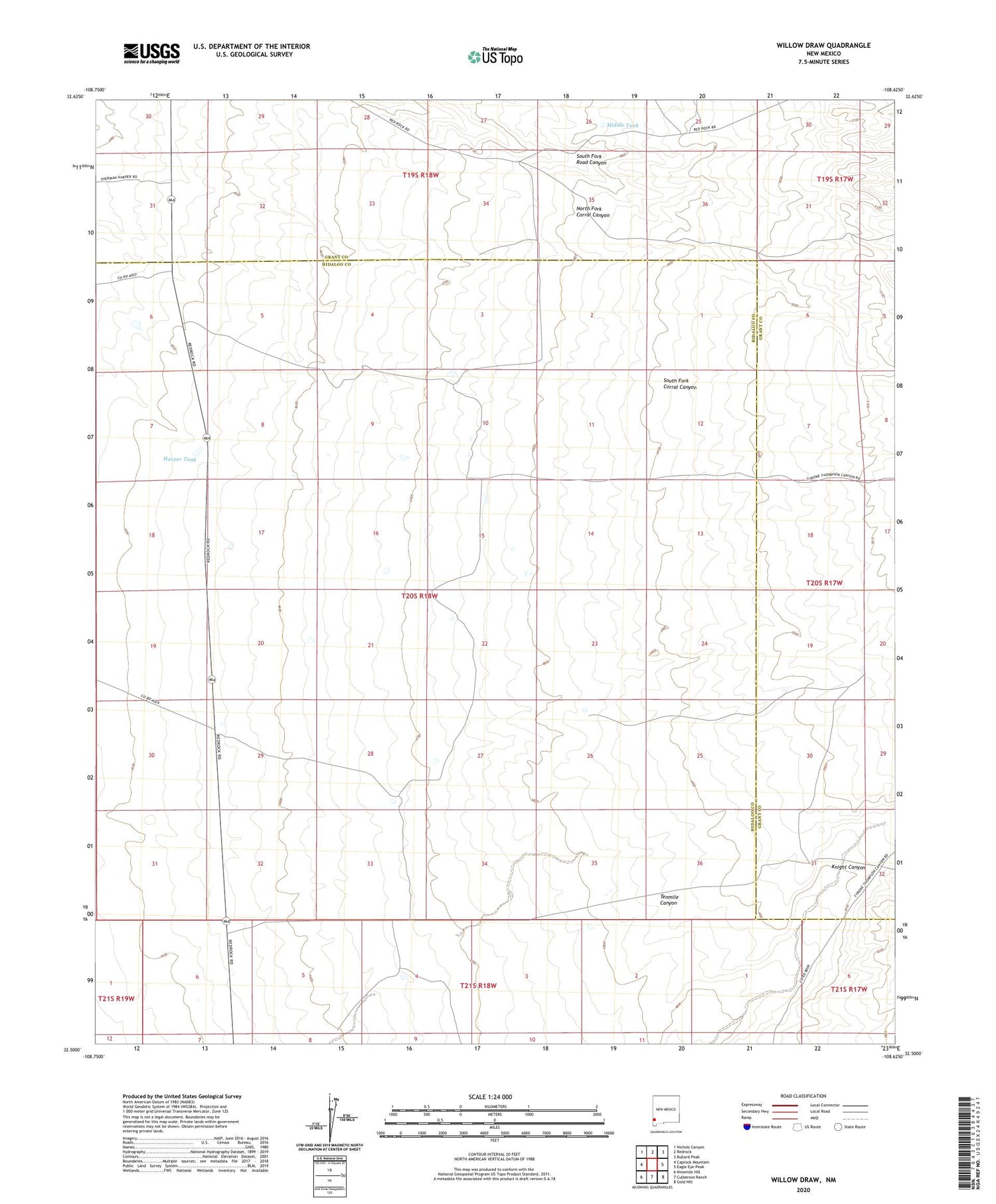
2020 topographic map quadrangle Willow Draw in the state of New Mexico. Scale: 1:24000. Based on the newly updated USGS 7.5' US Topo map series, this map is in the following counties: Hidalgo, Grant. The map contains contour data, water features, and other items you are used to seeing on USGS maps, but also has updated roads and other features. This is the next generation of topographic maps. Printed on high-quality waterproof paper with UV fade-resistant inks.
Quads adjacent to this one:
West: Caprock Mountain
Northwest: Nichols Canyon
North: Redrock
Northeast: Bullard Peak
East: Eagle Eye Peak
Southeast: Gold Hill
South: Culberson Ranch
Southwest: Ninemile Hill
Contains the following named places: Harper Tank, Hope Well, Jim Cureton Ranch, Knight Canyon, Middle Tank, South Fork Road Canyon, Spencer Windmill, Van Meter Ranch