MyTopo
Nichols Canyon New Mexico US Topo Map
Couldn't load pickup availability
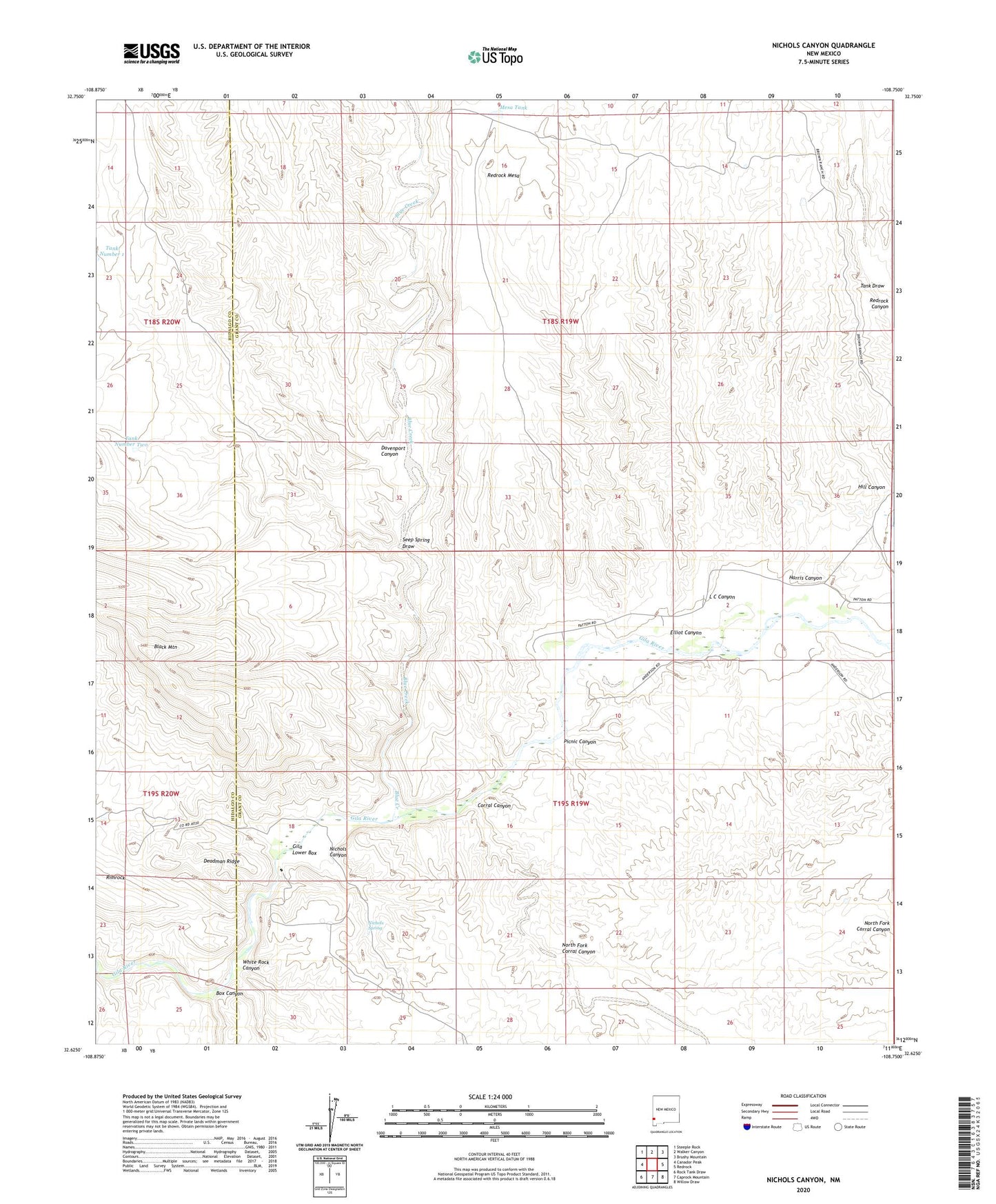
2023 topographic map quadrangle Nichols Canyon in the state of New Mexico. Scale: 1:24000. Based on the newly updated USGS 7.5' US Topo map series, this map is in the following counties: Grant, Hidalgo. The map contains contour data, water features, and other items you are used to seeing on USGS maps, but also has updated roads and other features. This is the next generation of topographic maps. Printed on high-quality waterproof paper with UV fade-resistant inks.
Quads adjacent to this one:
West: Canador Peak
Northwest: Steeple Rock
North: Walker Canyon
Northeast: Brushy Mountain
East: Redrock
Southeast: Willow Draw
South: Caprock Mountain
Southwest: Rock Tank Draw
This map covers the same area as the classic USGS quad with code o32108f7.
Contains the following named places: Anderson Windmill, Bar U Windmill, Black Bob Group Mine, Black Bob Mine, Blue Creek, Box Canyon, Consolation Mine, Corral Canyon, Davenport Canyon, Deadman Ridge, Elliot Canyon, Harris Canyon, Hill Canyon, L C Canyon, McHaffey Windmill, Mesa Tank, Nichols Canyon, Nichols Spring, North Fork Corral Canyon, Picnic Canyon, Remington Lode, Road Canyon, Seep Spring Draw, Tank Draw, Tank Number Two, White Rock Canyon, Wilson Mine, Winnie Claim