MyTopo
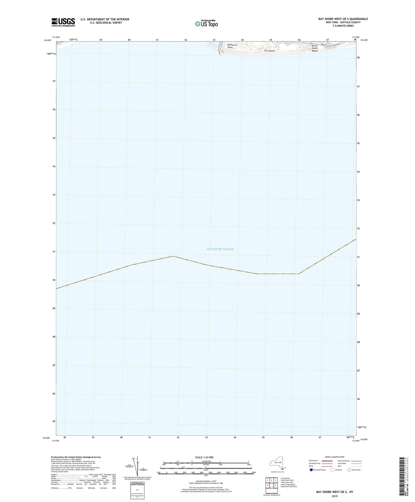
Bay Shore West OE S New York US Topo Map
Couldn't load pickup availability
2023 topographic map quadrangle Bay Shore West OE S in the state of New York. Scale: 1:24000. Based on the newly updated USGS 7.5' US Topo map series, this map is in the following counties: Suffolk. The map contains contour data, water features, and other items you are used to seeing on USGS maps, but also has updated roads and other features. This is the next generation of topographic maps. Printed on high-quality waterproof paper with UV fade-resistant inks.
Quads adjacent to this one:
West: West Gilgo Beach
Northwest: Amityville
North: Bay Shore West
Northeast: Bay Shore East
East: Bay Shore East OE S
Contains the following named places: Coast Guard Station Fire Island, Democrat Point, Gilgo Life Saving Station, Robert Moses State Park