MyTopo
Eagle Lake New York US Topo Map
Couldn't load pickup availability
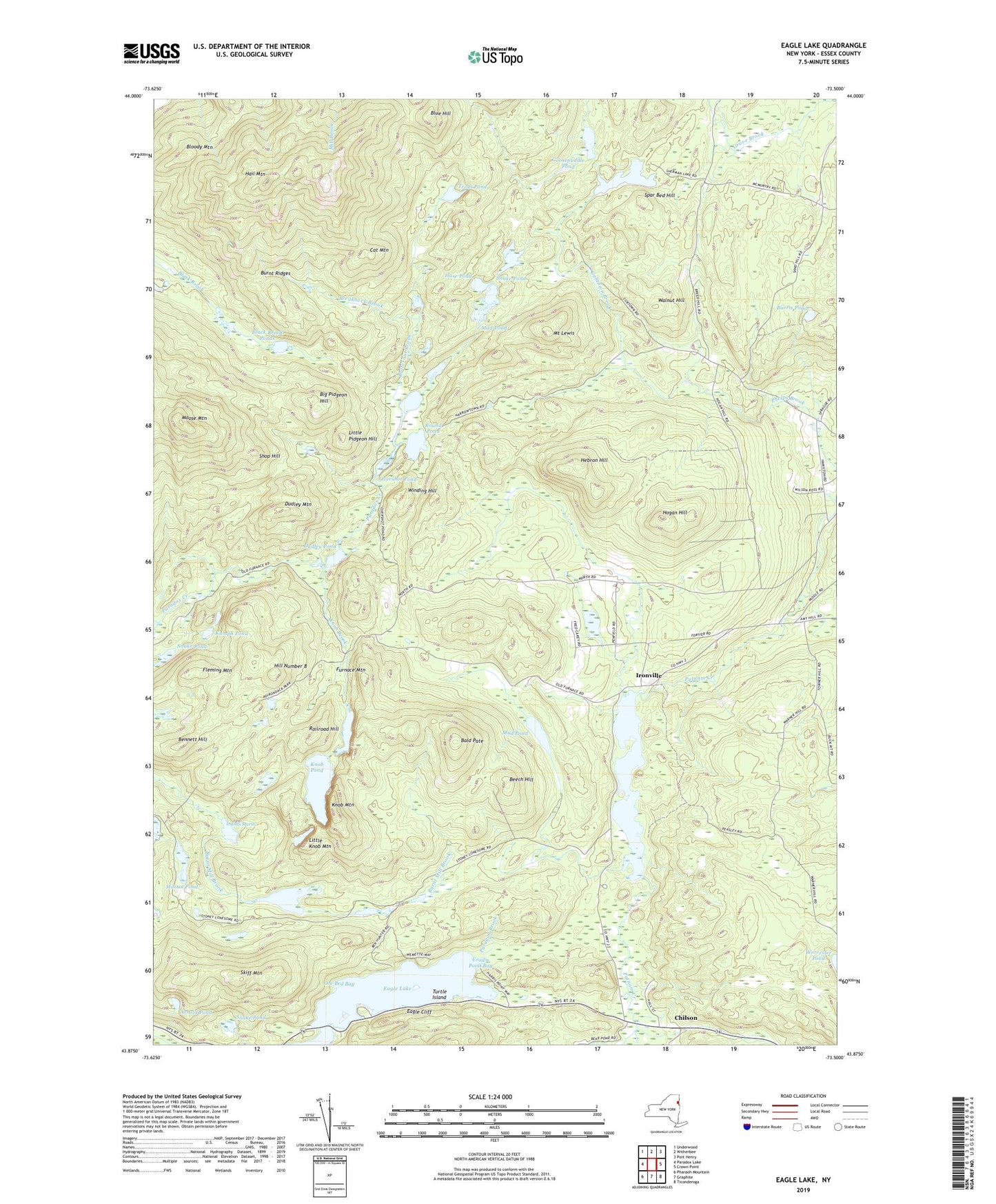
2019 topographic map quadrangle Eagle Lake in the state of New York. Scale: 1:24000. Based on the newly updated USGS 7.5' US Topo map series, this map is in the following counties: Essex. The map contains contour data, water features, and other items you are used to seeing on USGS maps, but also has updated roads and other features. This is the next generation of topographic maps. Printed on high-quality waterproof paper with UV fade-resistant inks.
Quads adjacent to this one:
West: Paradox Lake
Northwest: Underwood
North: Witherbee
Northeast: Port Henry
East: Crown Point
Southeast: Ticonderoga
South: Graphite
Southwest: Pharaoh Mountain
Contains the following named places: Arnold Pond, Bald Pate, Beech Hill, Bennett Hill, Big Pidgeon Hill, Black Brook Ponds, Bloody Mountain, Blue Hill, Breakneck Brook, Burnt Ridges, Burris Pond, Butternut Brook, Cat Mountain, Cedar Bridge Pond, Chilson, Crown Point Bay, Cubtown Brook, Dudley Mountain, Dudley Pond, Eagle Cliff, Eagle Lake, Fleming Mountain, Furnace Mountain, Goosepuddle Pond, Hail Mountain, Hebron Hill, Hill Number 8, Hogan Hill, Huse Pond, Ingalls Marsh, Ironville, Knob Brook, Knob Mountain, Knob Pond, Kumph Pond, Little Knob Mountain, Little Pidgeon Hill, Martin Pond, Moose Mountain, Mount Lewis, Mud Pond, Ore Bed Bay, Overshot Pond, Penfield Homestead Museum, Penfield Pond, Railroad Hill, Round Pond, Sawmill Pond, Sherman Lake, Shop Hill, Skiff Mountain, Snake Pond, Spar Bed Hill, Town of Crown Point, Trout Pond, Turtle Island, Walnut Hill, Winding Hill, ZIP Code: 12928