MyTopo
Underwood New York US Topo Map
Couldn't load pickup availability
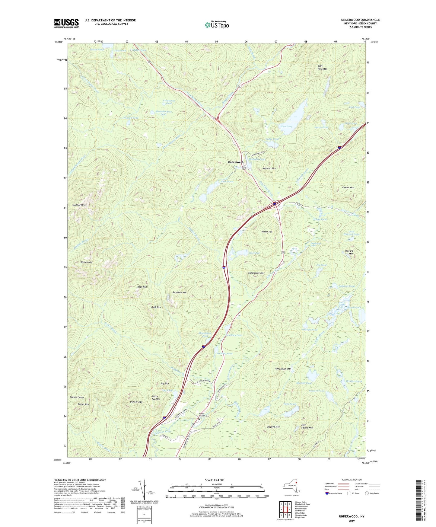
2023 topographic map quadrangle Underwood in the state of New York. Scale: 1:24000. Based on the newly updated USGS 7.5' US Topo map series, this map is in the following counties: Essex. The map contains contour data, water features, and other items you are used to seeing on USGS maps, but also has updated roads and other features. This is the next generation of topographic maps. Printed on high-quality waterproof paper with UV fade-resistant inks.
Quads adjacent to this one:
West: Dix Mountain
Northwest: Keene Valley
North: Rocky Peak Ridge
Northeast: Elizabethtown
East: Witherbee
Southeast: Eagle Lake
South: Paradox Lake
Southwest: Blue Ridge
Contains the following named places: Ash Craft Brook, Bear Mountain, Birch Pond, Brother Ponds, Buck Mountain, Bullet Pond, Bullpout Pond, Camel Mountain, Camels Hump, Catamount Mountain, Clap Pond, Claybed Mountain, Courtney Pond, Cranberry Pond, Crowfoot Brook, Deadwater Pond, East Mill Brook, East Mill Flow, Feeder Mountain, Greenough Mountain, Gui Pond, Holiday Pond, Howard Mountain, Howard Pond, Joe Pond, Jug Mountain, Jug Pond, Ledge Pond, Lillypad Pond, Lindsey Brook, Little Far Mountain, Little Howard Pond, Lost Pond, Makomis Mountain, Makomis Pond, Mile Square Mountain, Moss Pond Brook, Moss Ponds, Munson Pond, New Pond, New Pond Brook, North Fork Boquet River, North Hudson Cemetery, North Hudson Northbound Rest Area, North Hudson Southbound Rest Area, Old Far Mountain, Potter Hill, Rhododendron Pond, Round Pond, Saunders Mountain, Secret Pond, Shingletree Pond, Slide Brook, South Fork Boquet River, Split Rock Mountain, Spotted Mountain, Stump Pond, Triangle Pond, Twin Pond, Twin Ponds, Underwood, West Mill Brook, Wyman Mountain