MyTopo
Greenwood New York US Topo Map
Couldn't load pickup availability
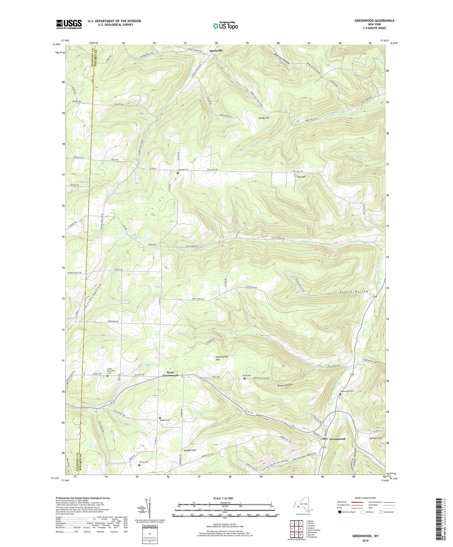
2023 topographic map quadrangle Greenwood in the state of New York. Scale: 1:24000. Based on the newly updated USGS 7.5' US Topo map series, this map is in the following counties: Steuben, Allegany. The map contains contour data, water features, and other items you are used to seeing on USGS maps, but also has updated roads and other features. This is the next generation of topographic maps. Printed on high-quality waterproof paper with UV fade-resistant inks.
Quads adjacent to this one:
West: Andover
Northwest: Alfred
North: Hornell
Northeast: Canisteo
East: South Canisteo
Southeast: Troupsburg
South: Rexville
Southwest: Whitesville
This map covers the same area as the classic USGS quad with code o42077b6.
Contains the following named places: Anson Brewster Cemetery, Atkins Cemetery, Bar B R Farms, Brown Hollow, Call Hill, Call Hill Cemetery, Call Hill School, Camp Harley, Canisteo - Greenwood Middle School, Christian Hollow, Colby Creek, Cole Hollow, Dryden Hill, Dryden Hill School, Erskin Hollow, Fall Creek School, Fisher Hollow, Greenwood, Greenwood Cemetery, Greenwood Hill, Greenwood Post Office, Greenwood Volunteer Fire Department, Hartsville, Krusen Cemetery, Lane School, Letts Cemetery, Meade School, Norton Hollow, Purdy Hill, Redmond School, Rock Creek, Rock Creek School, Shovel Hollow School, Slate Creek School, Stephens Tree Farm, Town of Greenwood, Town of Hartsville, Webb Hollow, West Greenwood, White School, Woodward Hollow, Woodward Hollow School