MyTopo
Lake Carmel New York US Topo Map
Couldn't load pickup availability
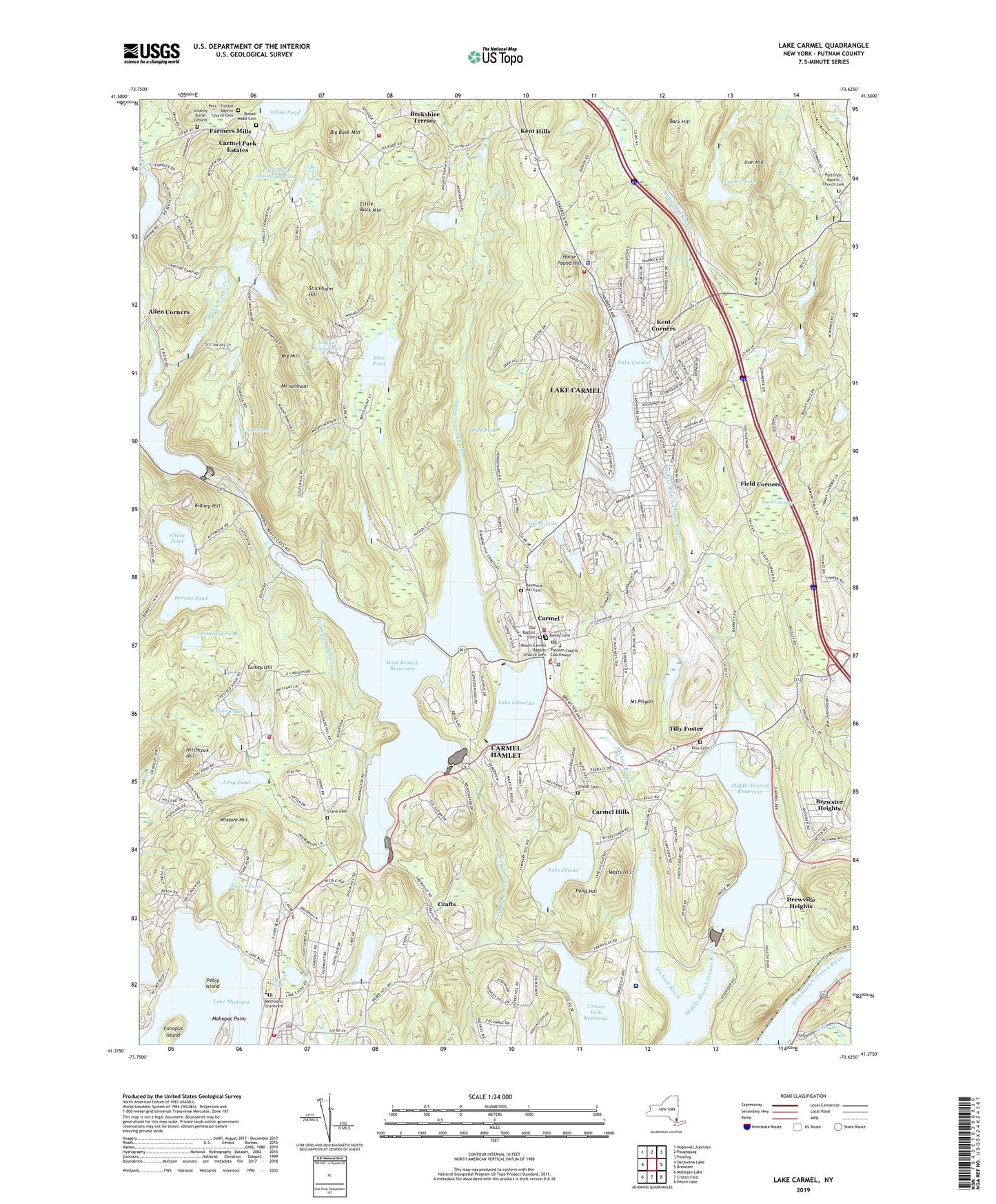
2023 topographic map quadrangle Lake Carmel in the state of New York. Scale: 1:24000. Based on the newly updated USGS 7.5' US Topo map series, this map is in the following counties: Putnam. The map contains contour data, water features, and other items you are used to seeing on USGS maps, but also has updated roads and other features. This is the next generation of topographic maps. Printed on high-quality waterproof paper with UV fade-resistant inks.
Quads adjacent to this one:
West: Oscawana Lake
Northwest: Hopewell Junction
North: Poughquag
Northeast: Pawling
East: Brewster
Southeast: Peach Lake
South: Croton Falls
Southwest: Mohegan Lake
This map covers the same area as the classic USGS quad with code o41073d6.
Contains the following named places: Allen Corners, Arms Acres, Bailey Brook, Bare Hill, Barrett Pond, Beaver Brook, Beaver Swamp, Berkshire Terrace, Big Buck Mountain, Big Hill, Bird Pond, Boyd Corners Reservoir, Brewster Heights, Brewster Heights Census Designated Place, Camp Brady, Camp Herrich, Camp Hines, Camp Joy and Hope, Canopus Island, Carmel, Carmel Census Designated Place, Carmel Fire Department, Carmel Hills, Carmel Park Estates, Carmel Post Office, Carmel Senior High School, Carmel Town Hall, Carmel Town Sewage District 2 Wastewater Treatment Plant, Carmel Volunteer Ambulance Corps, Centennial Golf Club, China Pond, Clear Pool, Clear Pool Camp, Crafts, Crane Cemetery, Dean Pond, Deans Corner, Dixon Lake, Drew United Methodist Church, Drewville Heights, Ellis Cemetery, Farmers Mills, Field Corners, Fosters Corners, Fulmar Road Elementary School, George Fischer Middle School, Gilead Cemetery, Gilead Presbyterian Church, Gipsy Trail Club, Gleneida Trotting Park, Hermitage of Our Lady of Kursk, High School, Hill and Dale Country Club, Hitchcock Hill, Hopkins Corners, Horse Pound Brook, Horse Pound Hill, Indian Brook Pond, Iron Hill, Kelley Cemetery, Kent - Fishkill Baptist Church Cemetery, Kent Corners, Kent Elementary School, Kent Hills, Kent Primary School, Kent Public Library, Kent-Fishkill Baptist Church, Kidney Hill, Knolls Trailer Court, Lake Carmel, Lake Carmel Census Designated Place, Lake Carmel Fire Department Station 1, Lake Carmel Volunteer Fire Department Station 2, Lake Casse, Lake Gilead, Lake Gleneida, Lake Mahopac, Lake Nimham, Little Buck Mountain, Little Buck Mountain Pond, Lockwood Pond, Long Pond, Mahopac Golf Club, Mahopac Plaza Shopping Center, Mahopac Point, Mahopac Village Sewage Treatment Plant, Mahopac Volunteer Fire Department Station 1, Mahopac Volunteer Fire Department Station 3, Maynard Corners, Methodist Graveyard, Michael Brook, Middle Branch Reservoir, Mount Carmel Baptist Church, Mount Carmel Baptist Church Cemetery, Mount Nimham, Mount Pisgah, Mud Pond, Old Baptist Cemetery, Our Lady of the Lake Church, Palmer Lake, Patterson Baptist Church, Patterson Baptist Church Cemetery, Patterson Volunteer Fire Department Station 2, Petre Island, Pine Pond, Plaza at Clover Lake Assisted Living Center, Pond Hill, Putnam County, Putnam County Courthouse, Putnam Hospital Center, Putnam Plaza Shopping Center, Raymond Hill Cemetery, Reed Memorial Library, Rock Hill Camp, Russell Mead Cemetery, Saint James the Apostle Church, Saint James the Apostle School, Saint John the Evangelist Church, Saint John the Evangelist School, Saint Joseph's Church, School Number 9, Schoolhouse Number 10, Schoolhouse Number 4, Schoolhouse Number 5, Schoolhouse Number 6, Secor Corners, Sedgewood Club, Seven Hills Lake, Smalley Burial Ground, Stockholm Hill, Stump Pond Stream, Temple Beth Shalom, Tilly Foster, Town of Carmel, Town of Kent, Towner School, Trinity Lutheran Church, Turkey Hill, Walts Hill, West Branch Reservoir, Wixon Pond, Wixsom Hill, Wonder Lake, Yale Corners, ZIP Code: 10512