MyTopo
Le Roy New York US Topo Map
Couldn't load pickup availability
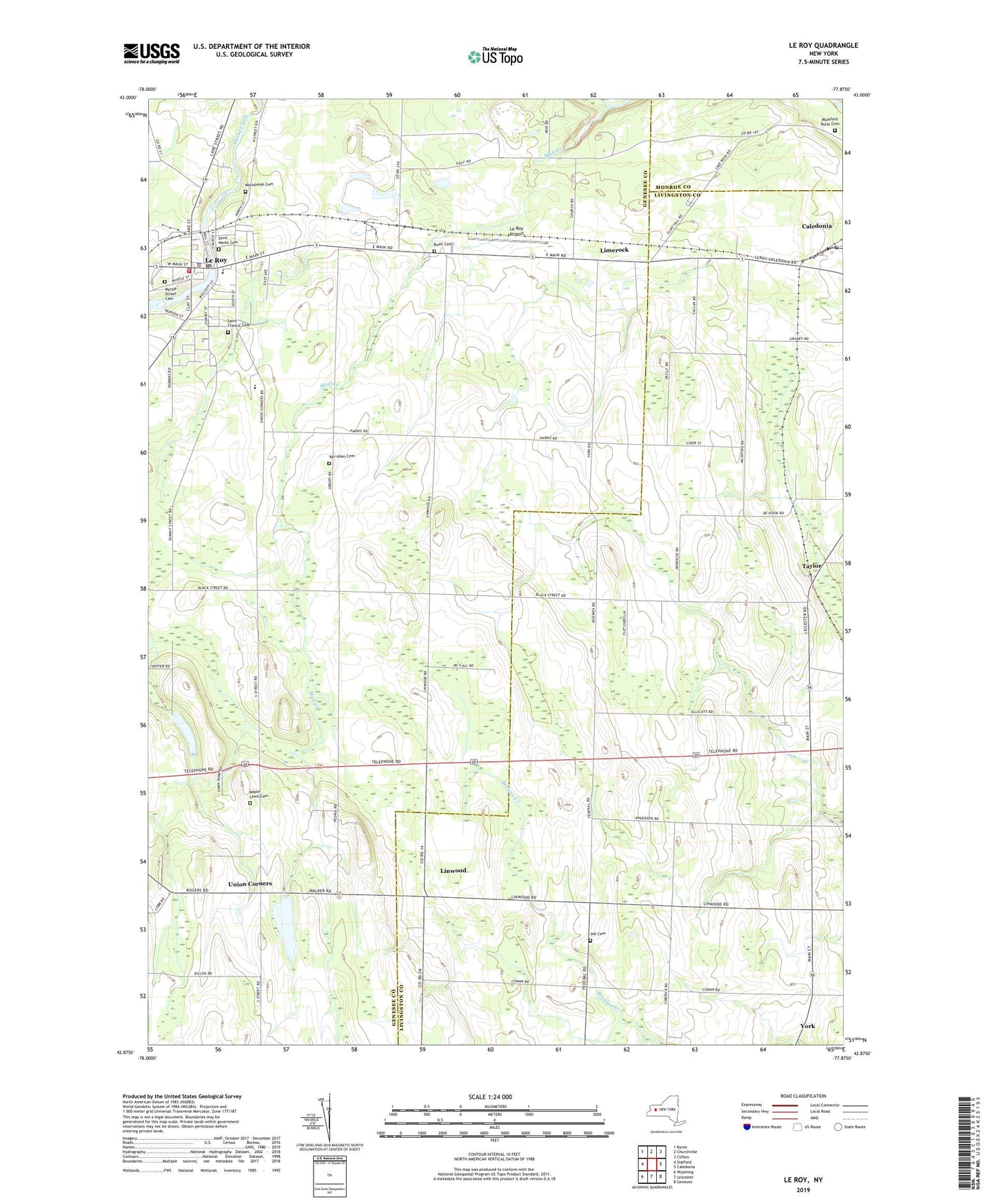
2023 topographic map quadrangle Le Roy in the state of New York. Scale: 1:24000. Based on the newly updated USGS 7.5' US Topo map series, this map is in the following counties: Genesee, Livingston, Monroe. The map contains contour data, water features, and other items you are used to seeing on USGS maps, but also has updated roads and other features. This is the next generation of topographic maps. Printed on high-quality waterproof paper with UV fade-resistant inks.
Quads adjacent to this one:
West: Stafford
Northwest: Byron
North: Churchville
Northeast: Clifton
East: Caledonia
Southeast: Geneseo
South: Leicester
Southwest: Wyoming
This map covers the same area as the classic USGS quad with code o42077h8.
Contains the following named places: Ayers Tree Farm, Barefoot Mobile Home Park, Buell Cemetery, Calvary Baptist Church of Le Roy, First Baptist Church of LeRoy, Harper Park, Harris Farms, Heritage Manor of LeRoy, Holy Family School, Job Cemetery, Le Roy, Le Roy Airport, Le Roy Junior - Senior High School, Le Roy Police Department, Le Roy Post Office, LeRoy Country Club, LeRoy Fire Department, LeRoy Reservoir, LeRoy United Methodist Church, LeRoy Village Green Residential Health Care Facility, Limerock, Linwood, Linwood Census Designated Place, Machpelah Cemetery, Maple Lawn Cemetery, Mud Creek, Mumford Rural Cemetery, Myrtle Street Cemetery, New York State Police Troop A Zone 1 Le Roy Station, Saint Anthony Church, Saint Francis Cemetery, Saint Joseph's Catholic Church, Saint Marks Cemetery, Saint Marks Episcopal Church, School Number 10, School Number 2, School Number 7, School Number 8, School Number 9, Second Baptist Church, Taylor, Town of Le Roy, Union Corners, Van Allen Cemetery, Village of Le Roy, Village of Le Roy Sewage Treatment Plant, Wolcott Street School, Woodward Memorial Library, ZIP Codes: 14482, 14486, 14511