MyTopo
Long Eddy New York US Topo Map
Couldn't load pickup availability
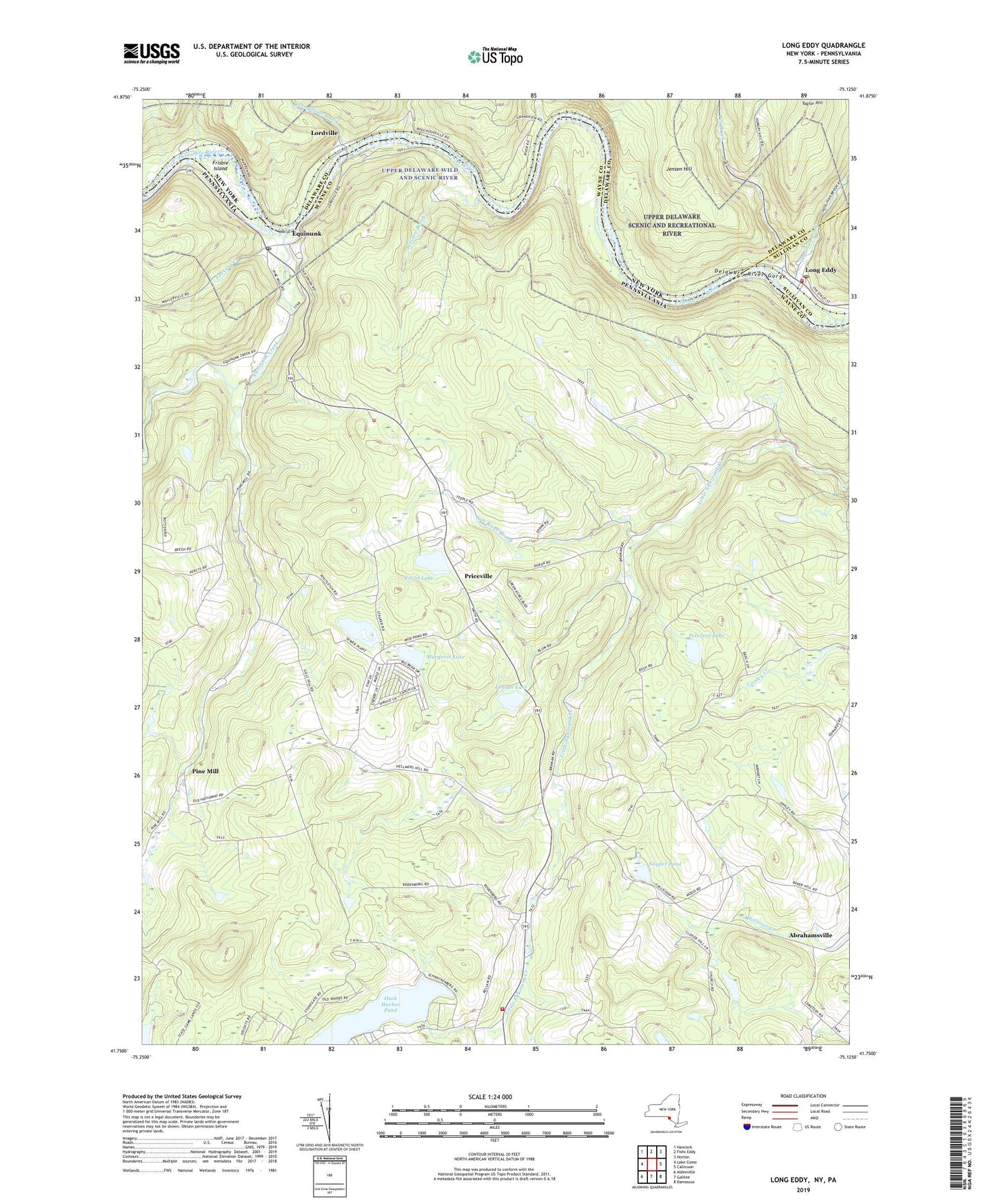
2023 topographic map quadrangle Long Eddy in the states of Pennsylvania, New York. Scale: 1:24000. Based on the newly updated USGS 7.5' US Topo map series, this map is in the following counties: Delaware, Wayne, Sullivan. The map contains contour data, water features, and other items you are used to seeing on USGS maps, but also has updated roads and other features. This is the next generation of topographic maps. Printed on high-quality waterproof paper with UV fade-resistant inks.
Quads adjacent to this one:
West: Lake Como
Northwest: Hancock
North: Fishs Eddy
Northeast: Horton
East: Callicoon
Southeast: Damascus
South: Galilee
Southwest: Aldenville
Contains the following named places: Abe Lord Creek, Big Hickory, Bouchoux Brook, Braman, Camp Blue Ridge, Camp Equinunk, Duck Harbor Pond, Duck Harbor Pond Dam, Equinunk, Equinunk Creek, Equinunk Post Office, Equinunk Volunteer Fire Company Station 65, Factory Creek, Frisbie Island, Hankins School, Hilltown, Hoolihan Brook, Humphries Brook, Indian Head Camp, Jensen Hill, Kellams School, Kilgour Spur, Lenape Lake, Lester School, Little Mud Pond, Little Mud Pond Dam, Long Eddy, Long Eddy Hose Company, Long Eddy Post Office, Lookout, Lordville, Margaret Lake, Pea Brook, Peterson Lake, Pine Mill, Pine Mill School, Priceville, Priceville School, Salt River Brook, Saw Mill Dam, Snyder Pond, South Branch Equinunk Creek, South Branch School, Township of Manchester, Tyler Wood School, Union Church, Union Lake, Weston Brook, Youngsville School, ZIP Code: 18417


