MyTopo
North Collins New York US Topo Map
Couldn't load pickup availability
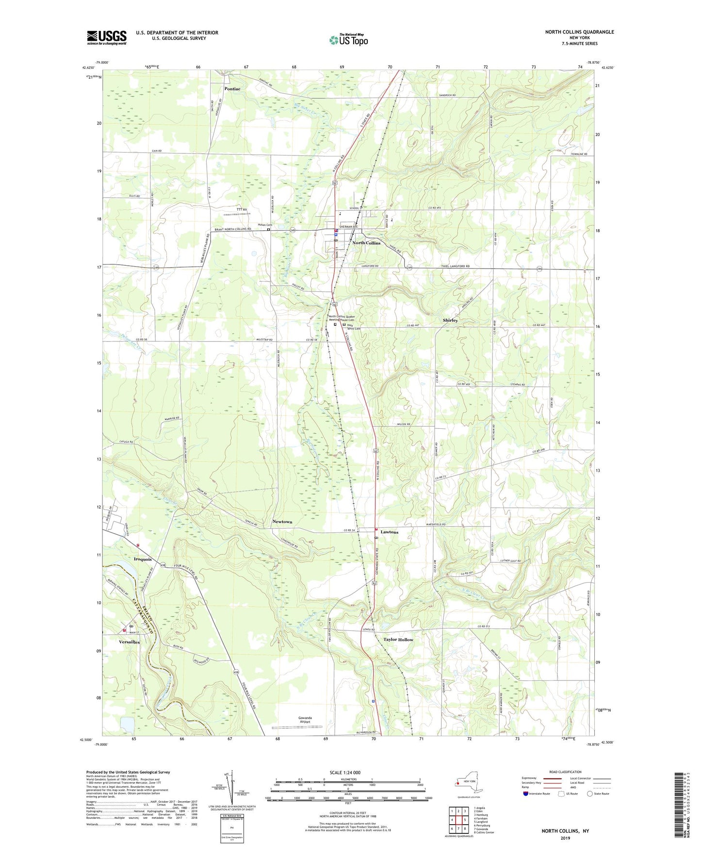
2023 topographic map quadrangle North Collins in the state of New York. Scale: 1:24000. Based on the newly updated USGS 7.5' US Topo map series, this map is in the following counties: Erie, Cattaraugus. The map contains contour data, water features, and other items you are used to seeing on USGS maps, but also has updated roads and other features. This is the next generation of topographic maps. Printed on high-quality waterproof paper with UV fade-resistant inks.
Quads adjacent to this one:
West: Farnham
Northwest: Angola
North: Eden
Northeast: Hamburg
East: Langford
Southeast: Collins Center
South: Gowanda
Southwest: Perrysburg
This map covers the same area as the classic USGS quad with code o42078e8.
Contains the following named places: Awalds Berry Farm, Bowman Farms, Cattaraugas Indian Reservation Fire District Station 1, Cattaraugus Long House Church, Collins Pit, Farner Farms, Fenton, First Congregational Church, Four Corners Church, Franklin Gulf, Gibraltar Heliport, Gowanda Airport, Gowanda Country Club, Gowanda State Hospital Annex, Holy Spirit Cemetery, Holy Spirit Roman Catholic Church, Holy Spirit School, Huson Cemetery, Hussey Gulf, Iroquois, Lawtons, Lawtons Post Office, Lawtons Volunteer Fire Company, Little Indian Creek, New York State Police Troop A Zone 3 Collins Station, Newtown, North Branch Clear Creek, North Collins, North Collins Elementary School, North Collins Emergency Squad, North Collins Junior - Senior High School, North Collins Library, North Collins Post Office, North Collins Quaker Meeting House Cemetery, North Collins Volunteer Fire Company, O E School, Pontiac, Rolling Meadows Farm, Sacred Heart of Mary Church, Shirley, Stonehill Orchard, Taylor Hollow, Thomas Indian School, TTT Air, Versailles, Versailles Post Office, Versailles Volunteer Fire Company, Village of North Collins, Wesleyan Church of North Collins, ZIP Codes: 14091, 14111, 14168


