MyTopo
Port Jervis South New York US Topo Map
Couldn't load pickup availability
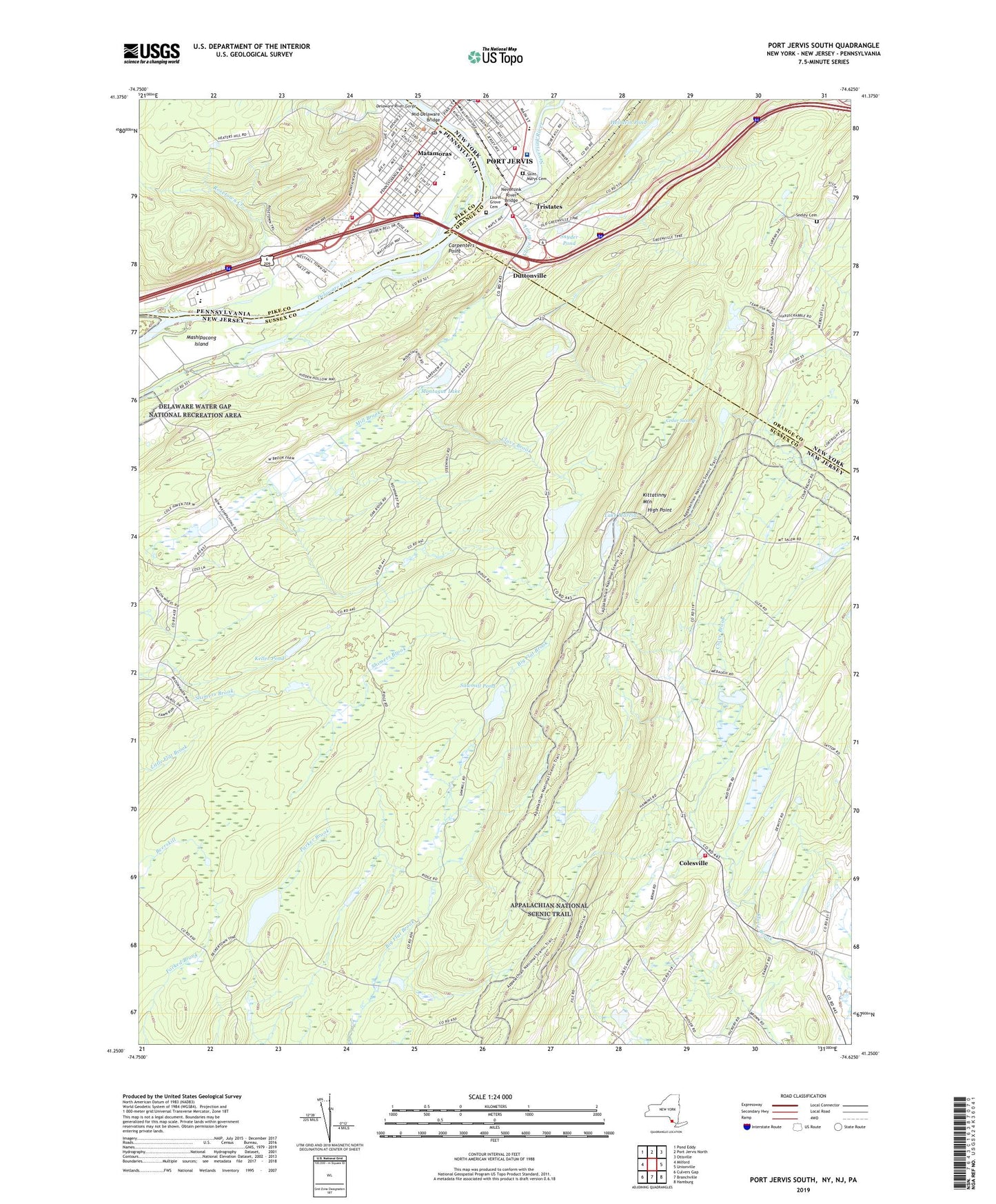
2023 topographic map quadrangle Port Jervis South in the states of New Jersey, New York, Pennsylvania. Scale: 1:24000. Based on the newly updated USGS 7.5' US Topo map series, this map is in the following counties: Orange, Sussex, Pike. The map contains contour data, water features, and other items you are used to seeing on USGS maps, but also has updated roads and other features. This is the next generation of topographic maps. Printed on high-quality waterproof paper with UV fade-resistant inks.
Quads adjacent to this one:
West: Milford
Northwest: Pond Eddy
North: Port Jervis North
Northeast: Otisville
East: Unionville
Southeast: Hamburg
South: Branchville
Southwest: Culvers Gap
Contains the following named places: Bon Secours Community Hospital, Borough of Matamoras, Brink - Colesville Cemetery, Carpenters Point, Cedar Swamp, Church of the Living God, Church School, Church Street Park, Church Street Public School, Clove Brook, Clove School, Colesville, Colesville Volunteer Fire Department Wantage Township Company 2, Delaware River Gorge, Delaware Valley High School, Dervend Airport, Doctors Sunnyside Hospital, Duttonville, East Main Street Public School, Eastern Pike Regional Police Department, Erie Depot Museum, First Assembly of God Church, Gold Creek, Grace Episcopal Church, Heintein Pond, High Point, High Point State Park, Keller Pond, Keller Pond Dam, Kittatinny Mountain, Lake Marcia, Lake Marcia Dam, Lake Rutherford, Laurel Grove Cemetery, Laurel Grove Greenhouse, Life Magazine Camp, Light of the World Christian Church, Mashipacong Island, Mashipacong Pond, Mashipacong Pond Dam, Matamoras, Matamoras Fire Department 32, Matamoras Post Office, Mid-Delaware Bridge, Mill Brook, Montague Lake, Neversink River, Neversink River Bridge, Port Jervis Fire Department Delaware Engine 2, Port Jervis Fire Department Howard Wheat Engine 4, Port Jervis Fire Department Tri - State Engine Company 6, Port Jervis Middle School, Port Jervis Post Office, Port Jervis Wastewater Treatment Plant, River School Number 1, Riverside Park, Riverside School, Rosetown Creek, Saint Josephs Church, Saint Marys Cemetery, Saint Marys Convent, Saint Mary's Parochial School, Saint Mary's Roman Catholic Church, Saint Peter and Paul Church, Sawmill Pond, Sawmill Pond Dam, Seeley Cemetery, Seventh Day Adventist Church, Snyder Pond, Steeny Kill Dam, Steeny Kill Lake, Temple Beth-El, Township of Montague, Tristate Bible Camp, Tristates, Westfall Township Fire Department 39, Zitone Airport, ZIP Codes: 07827, 18336


