MyTopo
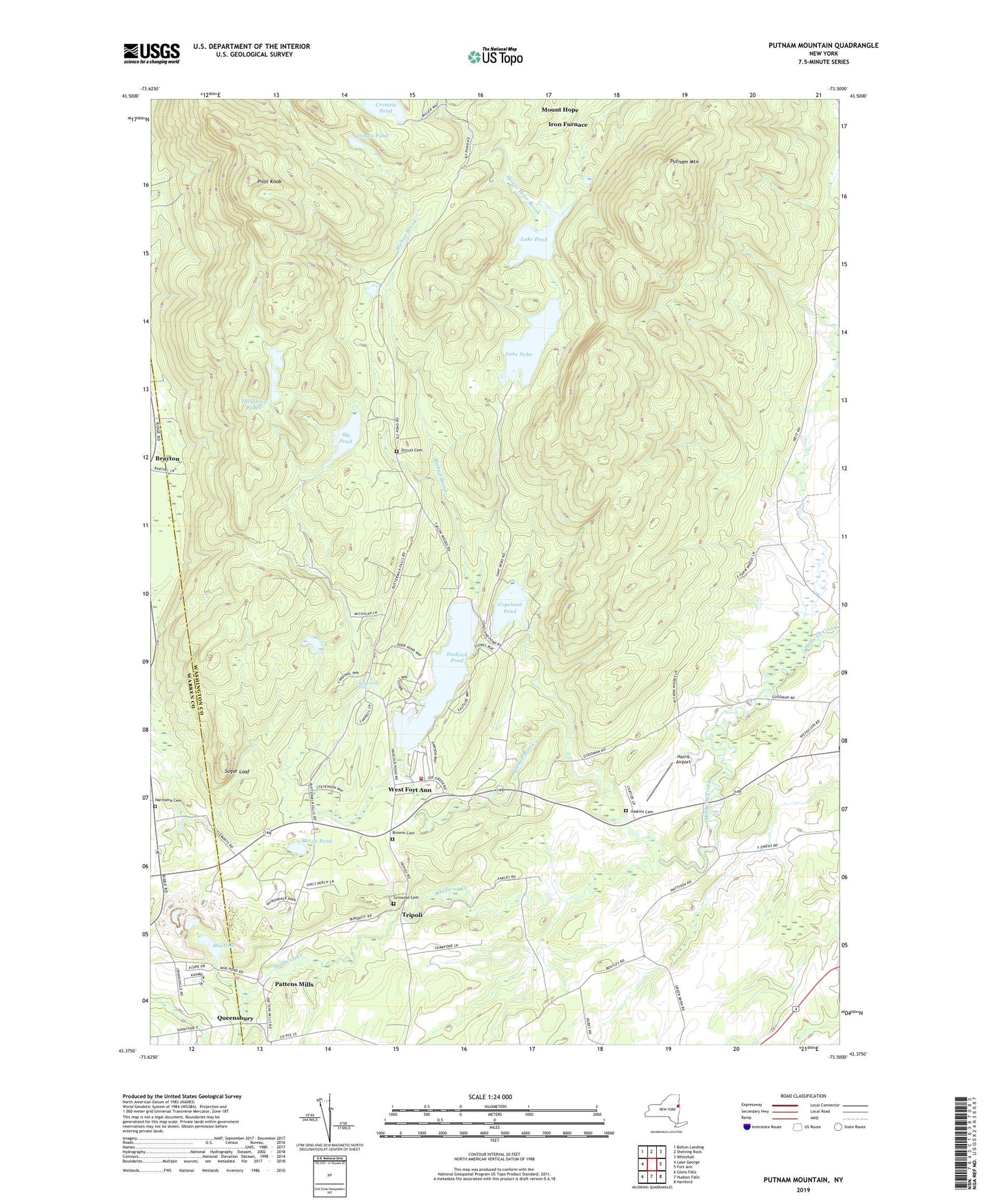
Putnam Mountain New York US Topo Map
Couldn't load pickup availability
2023 topographic map quadrangle Putnam Mountain in the state of New York. Scale: 1:24000. Based on the newly updated USGS 7.5' US Topo map series, this map is in the following counties: Washington, Warren. The map contains contour data, water features, and other items you are used to seeing on USGS maps, but also has updated roads and other features. This is the next generation of topographic maps. Printed on high-quality waterproof paper with UV fade-resistant inks.
Quads adjacent to this one:
West: Lake George
Northwest: Bolton Landing
North: Shelving Rock
Northeast: Whitehall
East: Fort Ann
Southeast: Hartford
South: Hudson Falls
Southwest: Glens Falls
This map covers the same area as the classic USGS quad with code o43073d5.
Contains the following named places: Bacon Pond, Bishop Brook, Browns Cemetery, Buttermilk Falls, Camp Little Notch, Camp Wakpominee, Copeland Pond, Fort Ann Rescue Squad, Goodmanor Farms, Griswold Cemetery, Hadlock Pond, Harris Airport, Harrisena Cemetery, Harrisena Community Church, Haskins Cemetery, Inman Pond, Iron Furnace, Kingsbury Wesleyan Church, Lake Nebo, Lakes Pond, Mount Hope, Mud Pond, Orcutt Cemetery, Pattens Mills, Pilot Knob, Putnam Mountain, Queensbury, River Church, Sly Pond, Sugar Loaf, The Three Ponds, Town of Fort Ann, Tripoli, West Fort Ann, West Fort Ann Methodist Church, West Fort Ann Volunteer Fire Company, ZIP Codes: 12827, 12844


