MyTopo
Snowy Mountain New York US Topo Map
Couldn't load pickup availability
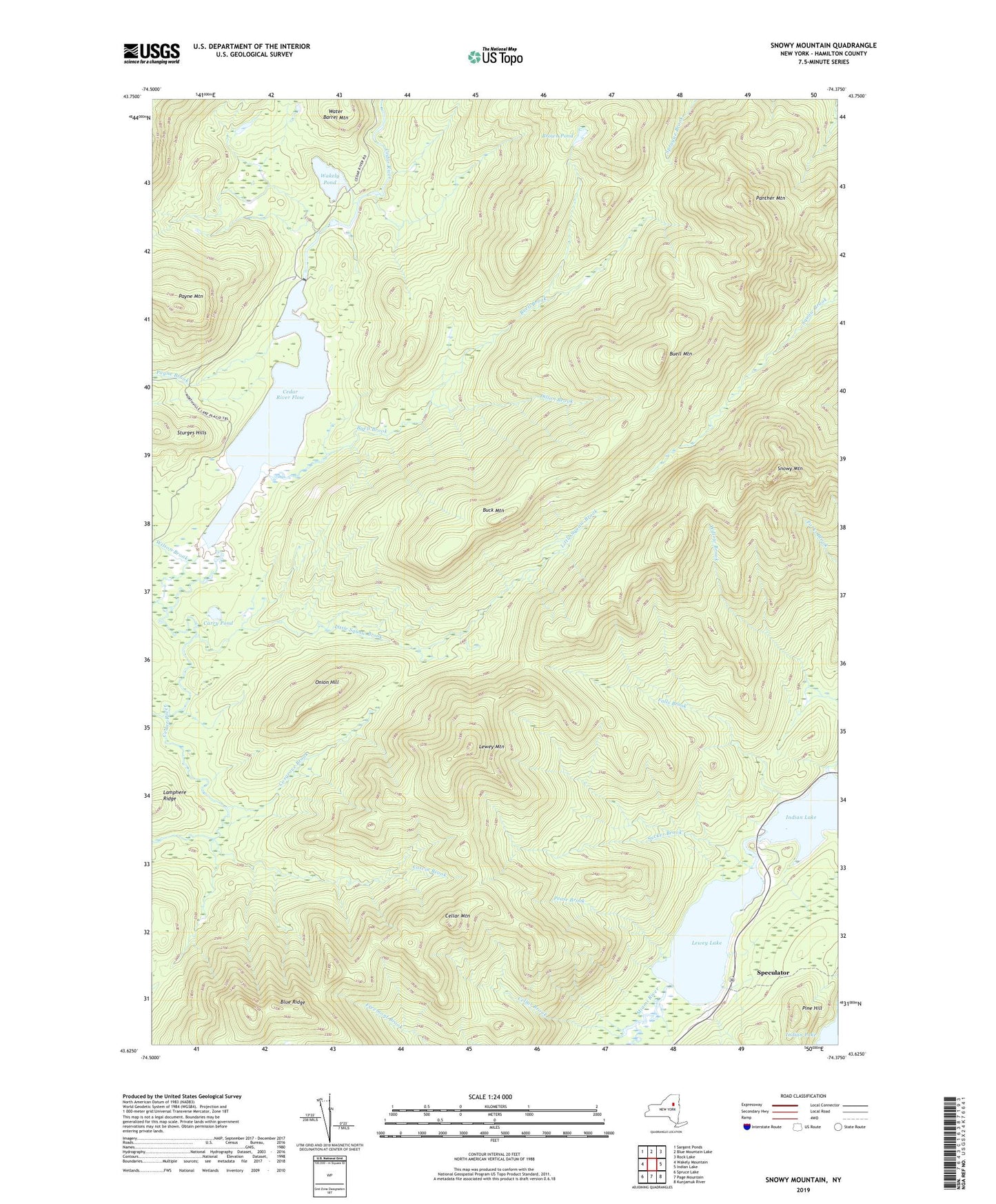
2019 topographic map quadrangle Snowy Mountain in the state of New York. Scale: 1:24000. Based on the newly updated USGS 7.5' US Topo map series, this map is in the following counties: Hamilton. The map contains contour data, water features, and other items you are used to seeing on USGS maps, but also has updated roads and other features. This is the next generation of topographic maps. Printed on high-quality waterproof paper with UV fade-resistant inks.
Quads adjacent to this one:
West: Wakely Mountain
Northwest: Sargent Ponds
North: Blue Mountain Lake
Northeast: Rock Lake
East: Indian Lake
Southeast: Kunjamuk River
South: Page Mountain
Southwest: Spruce Lake
Contains the following named places: Blue Ridge, Brown Pond, Buck Mountain, Buell Brook, Buell Mountain, Carry Pond, Cedar River Flow, Cellar Brook, Cellar Mountain, Colvin Brook, Cosgrove Brook, Dillon Brook, Falls Brook, Hamilton County, Lewey Lake, Lewey Mountain, Little Squaw Brook, Miami River, Onion Hill, Panther Mountain, Payne Brook, Payne Mountain, Pease Brook, Pine Hill, Snowy Mountain, Sturges Hills, Sucker Brook, Sucker Brook Trail, Wakely Dam, Wakely Pond, Water Barrel Mountain, Willow Brook, Wilson Brook