MyTopo
Southold New York US Topo Map
Couldn't load pickup availability
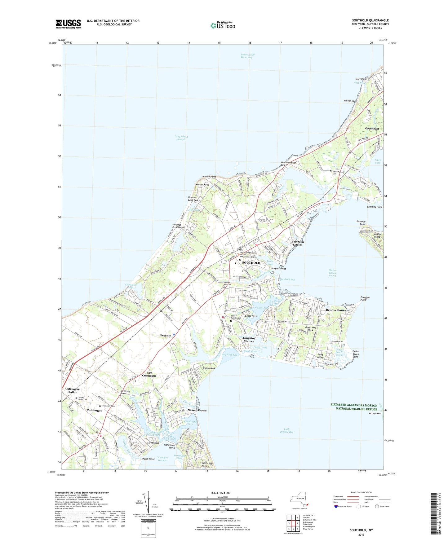
2023 topographic map quadrangle Southold in the state of New York. Scale: 1:24000. Based on the newly updated USGS 7.5' US Topo map series, this map is in the following counties: Suffolk. The map contains contour data, water features, and other items you are used to seeing on USGS maps, but also has updated roads and other features. This is the next generation of topographic maps. Printed on high-quality waterproof paper with UV fade-resistant inks.
Quads adjacent to this one:
West: Mattituck Hills
Northwest: Clinton OE S
Northeast: Orient
East: Greenport
Southeast: Sag Harbor
South: Southampton
Southwest: Mattituck
This map covers the same area as the classic USGS quad with code o41072a4.
Contains the following named places: Arshamonaque, Bay View, Bayview, Beixedon Estates, Brick Cove Marina, Broadwater Cove, Budds Pond, Camp Quinipet, Cedar Beach, Cedar Beach County Park, Cedar Beach Creek, Cedar Beach Point, Cedars Golf Club, Conkling Point, Corey Creek, Corey Creek Vineyards, Cutchogue, Cutchogue - New Suffolk Free Library, Cutchogue Cemetery, Cutchogue Census Designated Place, Cutchogue Fire Department United Fire Company 1, Cutchogue Post Office, Cutchogue Presbyterian Church, Cutchogue School, Cutchogue Station, Cutchogue United Methodist Church, Duck Walk Vineyards, East Creek, East Cutchogue, First Church of Christ Scientist, First Presbyterian Church, First Universalist Church, Fisherman Beach, Fleets Neck, Founders Landing, Founders Landing Park, Goldsmith Inlet, Goldsmith's Inlet Park, Goose Creek, Goose Neck, Great Hog Neck, Great Pond, Greenport Village Sewage Treatment Plant, Greenport West Census Designated Place, Gristina Vineyards, Harpers Point, Hashamomack Cemetery, Hashamomuck Beach, Hashamomuck Pond, Haywater Cove, Hog Neck Bay, Horseshoe Cove, Horton Lane Beach, Horton Lighthouse, Horton Neck, Horton Point, Indian Neck, Inlet Point, Inlet Point County Park, Inlet Pond, Jennings Point, Jockey Creek, Kenneys Road Beach, Laughing Waters, Lenz Vineyards, Lilly Pond, Little Creek, Little Hog Neck, Long Creek, Marsh Point, Mill Creek, Moores Drain, Moyle Cove, Mud Creek, Mudd's Vineyard, Nassau Farms, North Fork Country Club, Old Burying Ground, Old Burying Ground of First Presbyterian Church, Osprey's Dominion Vineyards, Our Lady of Ostrabama Roman Catholic Church, Paradise Point, Parker Rock, Peconic, Peconic Census Designated Place, Peconic Dunes County Park, Peconic Post Office, Peconic School, Pindar Vineyards, Pine Crest Dunes, Pipes Cove, Pugliese Vineyards, Reydon Golf Club, Reydon Shores, Richmond Creek, Sacred Heart Cemetery, Sacred Heart Church, Saint Patrick Cemetery, Saint Patrick's Roman Catholic Church, Shiloh Baptist Church, Skyway Drive-In, South Harbor Park, Southold, Southold Bay, Southold Census Designated Place, Southold Fire Department, Southold Fire Station, Southold Historic District, Southold Junior-Senior High School, Southold Marine Center, Southold Post Office, Southold Town Hall, Southold Township Police Department, Southold Yacht Club, Tisdales Windmill, Town Creek, Wickham Creek, Wickhams Fruit Farms, Willow Hill Cemetery, ZIP Codes: 11935, 11958, 11971


