MyTopo
Clinton OE S Connecticut US Topo Map
Couldn't load pickup availability
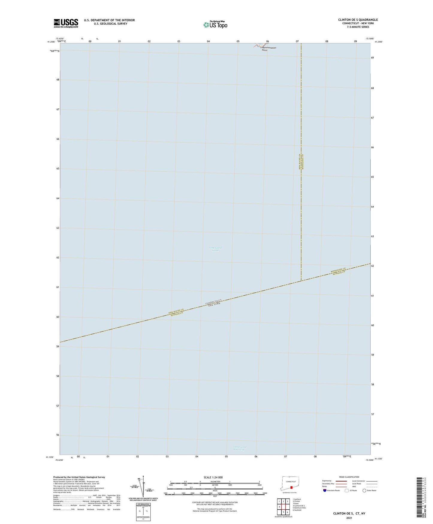
2024 topographic map quadrangle Clinton OE S in the state of Connecticut. Scale: 1:24000. Based on the newly updated USGS 7.5' US Topo map series, this map is in the following counties: New Haven, Suffolk, Middlesex. The map contains contour data, water features, and other items you are used to seeing on USGS maps, but also has updated roads and other features. This is the next generation of topographic maps. Printed on high-quality waterproof paper with UV fade-resistant inks.
Quads adjacent to this one:
West: Guilford OE S
Northwest: Guilford
North: Clinton
Northeast: Essex
Southeast: Southold
South: Mattituck Hills
Contains the following named places: Hammonasset Point, North Stamford Reservoir, North Stamford Reservoir Dam