MyTopo
Stony Creek Mountain New York US Topo Map
Couldn't load pickup availability
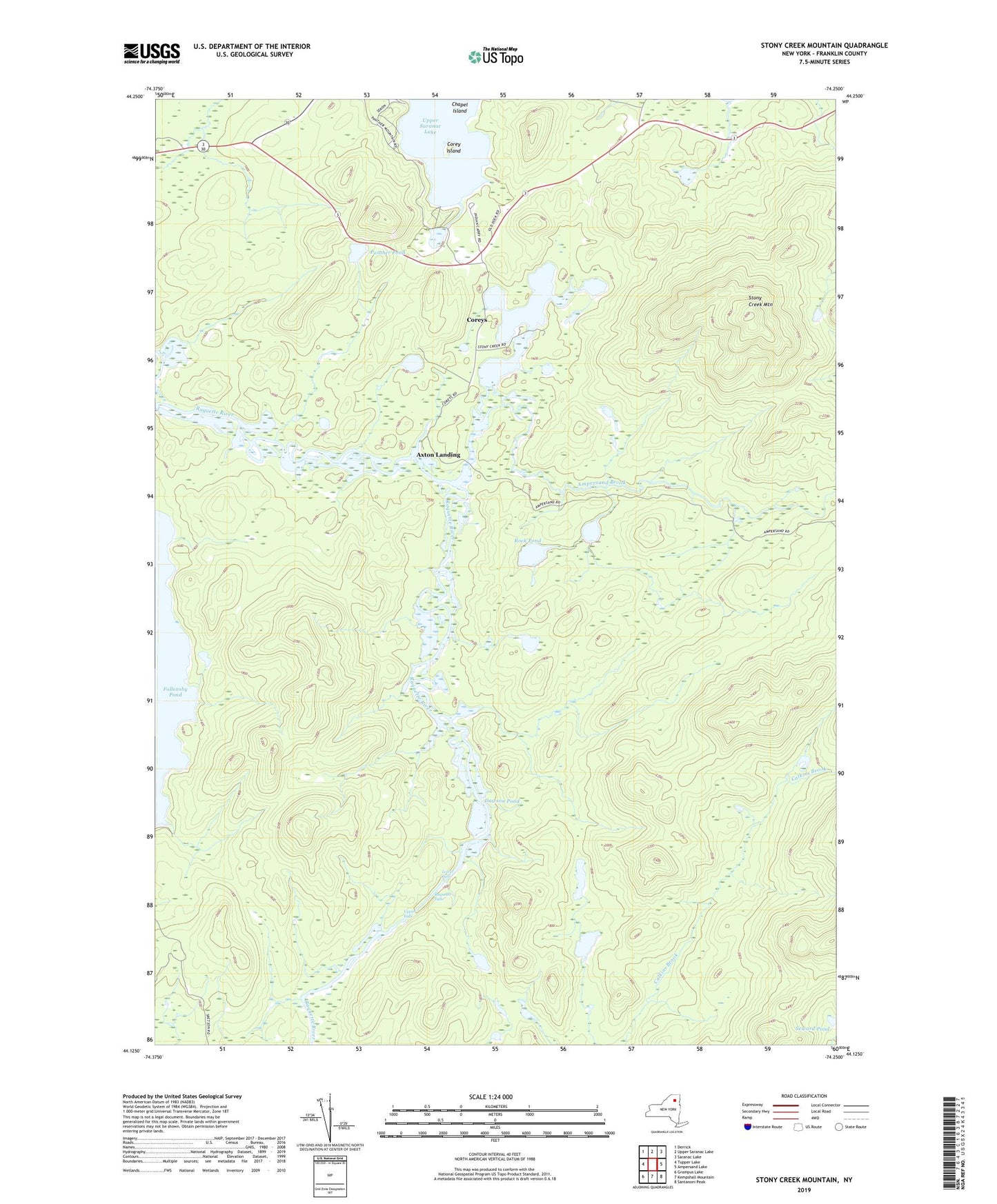
2023 topographic map quadrangle Stony Creek Mountain in the state of New York. Scale: 1:24000. Based on the newly updated USGS 7.5' US Topo map series, this map is in the following counties: Franklin. The map contains contour data, water features, and other items you are used to seeing on USGS maps, but also has updated roads and other features. This is the next generation of topographic maps. Printed on high-quality waterproof paper with UV fade-resistant inks.
Quads adjacent to this one:
West: Tupper Lake
Northwest: Derrick
North: Upper Saranac Lake
Northeast: Saranac Lake
East: Ampersand Lake
Southeast: Santanoni Peak
South: Kempshall Mountain
Southwest: Grampus Lake
Contains the following named places: Ampersand Brook, Axton Landing, Brueyer Pond, Chapel Island, Corey Island, Coreys, Dawson Pond, Lower Falls, Palmer Brook, Panther Pond, Pickerel Pond, Raquette Falls, Rock Pond, Seward Pond, Stony Creek, Stony Creek Mountain, Stony Creek Ponds, Upper Falls