MyTopo
West Leyden New York US Topo Map
Couldn't load pickup availability
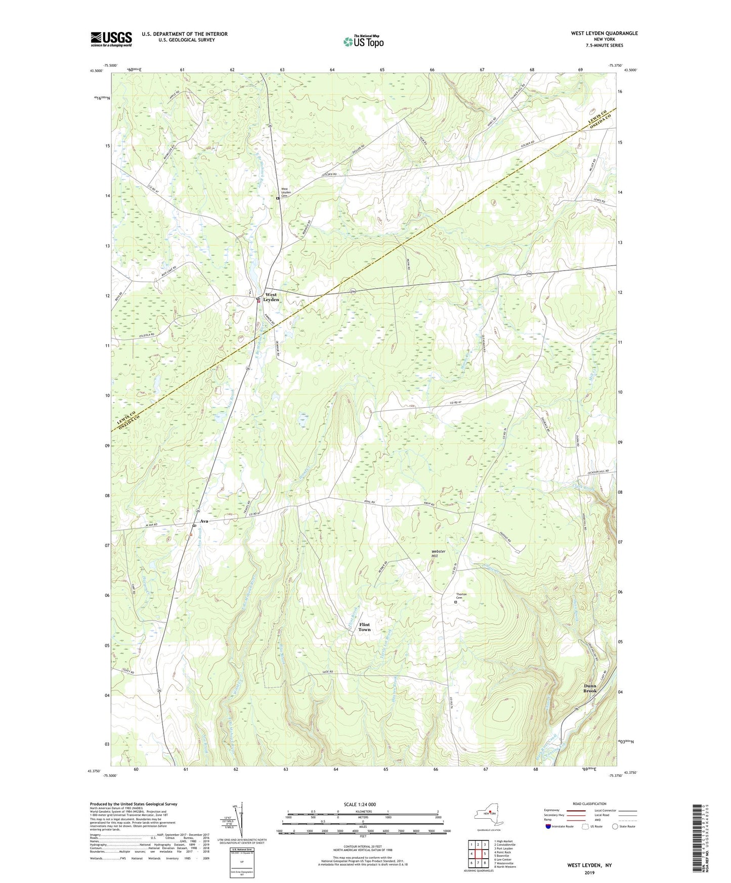
2019 topographic map quadrangle West Leyden in the state of New York. Scale: 1:24000. Based on the newly updated USGS 7.5' US Topo map series, this map is in the following counties: Oneida, Lewis. The map contains contour data, water features, and other items you are used to seeing on USGS maps, but also has updated roads and other features. This is the next generation of topographic maps. Printed on high-quality waterproof paper with UV fade-resistant inks.
Quads adjacent to this one:
West: Point Rock
Northwest: High Market
North: Constableville
Northeast: Port Leyden
East: Boonville
Southeast: North Western
South: Westernville
Southwest: Lee Center
Contains the following named places: Alger School, Ava, Ava Post Office, Bates School, Blue Brook, Chase Creek, Dunn Brook, Evans School, Flint Brook, Flint Town, Pasadena School, Redmond Corner, Saint Mary's Nativity Church, School Number 6, Thornton Cemetery, Town of Ava, Valenty Mierek Airport, Webster Hill, Webster Hill School, West Leyden, West Leyden Cemetery, West Leyden Elementary School, West Leyden Fire Department, West Leyden Post Office, Wood Creek