MyTopo
Westernville New York US Topo Map
Couldn't load pickup availability
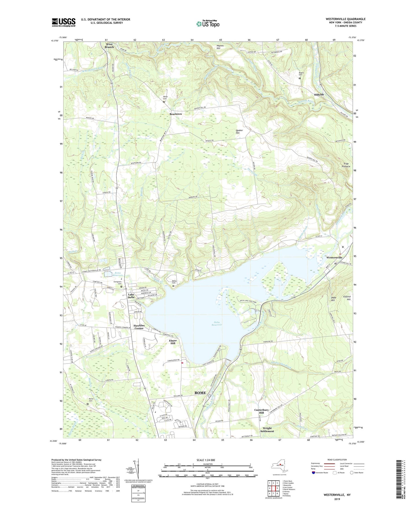
2023 topographic map quadrangle Westernville in the state of New York. Scale: 1:24000. Based on the newly updated USGS 7.5' US Topo map series, this map is in the following counties: Oneida. The map contains contour data, water features, and other items you are used to seeing on USGS maps, but also has updated roads and other features. This is the next generation of topographic maps. Printed on high-quality waterproof paper with UV fade-resistant inks.
Quads adjacent to this one:
West: Lee Center
Northwest: Point Rock
North: West Leyden
Northeast: Boonville
East: North Western
Southeast: Oriskany
South: Rome
Southwest: Verona
This map covers the same area as the classic USGS quad with code o43075c4.
Contains the following named places: All Saints Cemetery, Ava Brook, Beartown, Big Gulf, Canterbury Hill, Canterbury Hill School, Church of Jesus Christ of Latter Day Saints, CMA Campground, Deans Gulf, Delta Cemetery, Delta Lake Trailer Court, Delta Reservoir, Delta United Methodist Church, Dopp Hill, East Branch Mohawk River, Elmer Hill, Evergreen Cemetery, Faith Alliance Church, First Tabernacle Church of God in Christ, Grace Baptist Church, Hawkins Corner, Haynes Brook, Haynes Hill, Hillside, Hurlbut Glen Brook, John E Joy Elementary School, Lake Delta, Lake Delta Census Designated Place, Lake Delta School, Lake Delta Volunteer Fire Department, Lil Fair Mobile Home Park, Lorena School, Lower Quaker Hill School, Maranatha Church, McMullen Brook, Mullen Hill School, Potash Creek, Quaker Hill, Rogers Cemetery, Rome Fish Hatchery, Rome Reservoir, School Number 2, Sleepy Hollow Golf Course, Sly Hill Pit Number 7, Spinks Brook, Spring Brook, Stokes Corner, Stokes Elementary School, Stokes Hill School, Stoneybrook Mobile Terrace, Teugega Country Club, Town of Western, Tripp Pinnacle, Turin School, Turtle Lot Brook, Welsh Cemetery, West Branch, West Branch Mohawk River, Western Town Library, Westernville, Westernville Cemetery, Westernville Census Designated Place, Westernville Post Office, Westernville United Methodist Church, Wright Settlement, ZIP Code: 13303


