MyTopo
Westford New York US Topo Map
Couldn't load pickup availability
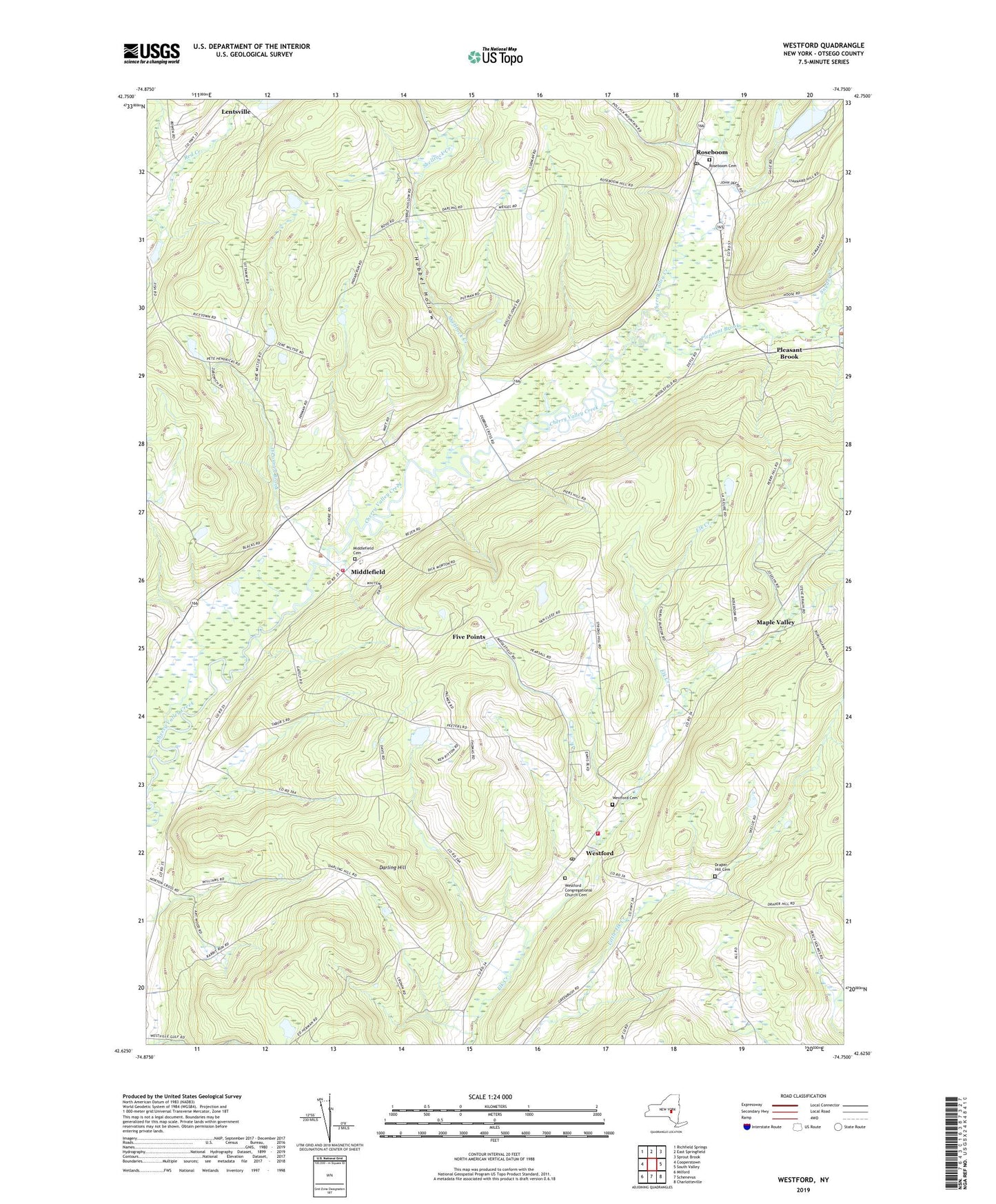
2019 topographic map quadrangle Westford in the state of New York. Scale: 1:24000. Based on the newly updated USGS 7.5' US Topo map series, this map is in the following counties: Otsego. The map contains contour data, water features, and other items you are used to seeing on USGS maps, but also has updated roads and other features. This is the next generation of topographic maps. Printed on high-quality waterproof paper with UV fade-resistant inks.
Quads adjacent to this one:
West: Cooperstown
Northwest: Richfield Springs
North: East Springfield
Northeast: Sprout Brook
East: South Valley
Southeast: Charlotteville
South: Schenevus
Southwest: Milford
Contains the following named places: Belvedere Lake, Belvedere Lake Resort, Darling Hill, Draper Hill Cemetery, Five Points, Hubbel Hollow, Maple Valley, Middlefield, Middlefield Cemetery, Middlefield Volunteer Fire Department, O'Connell Brook, Pleasant Brook, Roseboom, Roseboom Cemetery, Roseboom Post Office, Saint Timothy Episcopal Church, School Number 10, School Number 7, School Number 8, Shellrock Creek, Snyder Creek, Town of Middlefield, Town of Westford, Wasted Acres, Westford, Westford Cemetery, Westford Census Designated Place, Westford Congregational Church Cemetery, Westford Post Office, Westford Volunteer Fire Department, Winnie Hollow, ZIP Codes: 13450, 13488