MyTopo
Wolcottsville New York US Topo Map
Couldn't load pickup availability
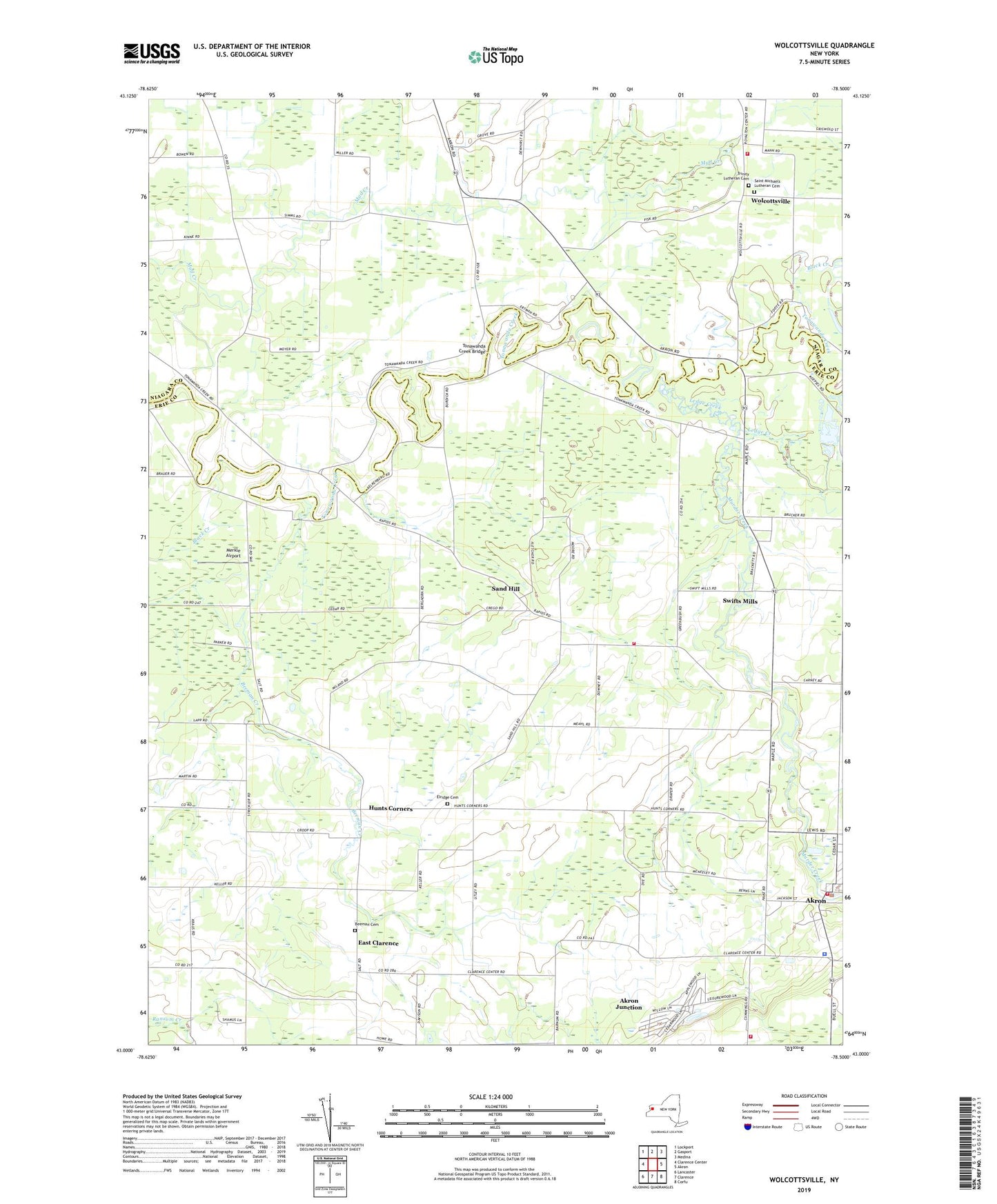
2023 topographic map quadrangle Wolcottsville in the state of New York. Scale: 1:24000. Based on the newly updated USGS 7.5' US Topo map series, this map is in the following counties: Erie, Niagara. The map contains contour data, water features, and other items you are used to seeing on USGS maps, but also has updated roads and other features. This is the next generation of topographic maps. Printed on high-quality waterproof paper with UV fade-resistant inks.
Quads adjacent to this one:
West: Clarence Center
Northwest: Lockport
North: Gasport
Northeast: Medina
East: Akron
Southeast: Corfu
South: Clarence
Southwest: Lancaster
This map covers the same area as the classic USGS quad with code o43078a5.
Contains the following named places: Akron Junction, Akron Village Hall, Akron Village Wastewater Treatment Plant, Akron Volunteer Fire Company Station 1, Anchor Farms, Arrowhead Golf Club, Bedford Greenhouse, Beeman Cemetery, Beeman Creek, Black Creek, Block Church, Calvary Baptist Church, Clarence Center - Akron Mennonite Church, East Clarence, Elridge Cemetery, Fellowship Baptist Church, First Baptist Church of Clarence, Hunts Corners, Ledge Creek, Merkle Airport, Murder Creek, New Hope Presbyterian Church, New York State Police Troop A Zone 2 Newstead Station, Newstead Volunteer Fire Company Station 1, Newstead Volunteer Fire Company Station 2, Rothland Golf Course, Saint Ignatius Retreat Home, Saint Michaels Church, Saint Michaels Lutheran Cemetery, Saint Teresa School, Saint Teresa's Roman Catholic Church, Sand Hill, School Number 10, School Number 11, School Number 12, School Number 18, School Number 19, School Number 2, School Number 4, School Number 5, School Number 6, School Number 7, Swifts Mills, Tonawanda Creek Bridge, Town of Newstead, Trinity Church, Trinity Lutheran Cemetery, Wideman Farms, Wolcottsville, Wolcottsville Volunteer Fire Company, ZIP Code: 14001


