MyTopo
Aquadale North Carolina US Topo Map
Couldn't load pickup availability
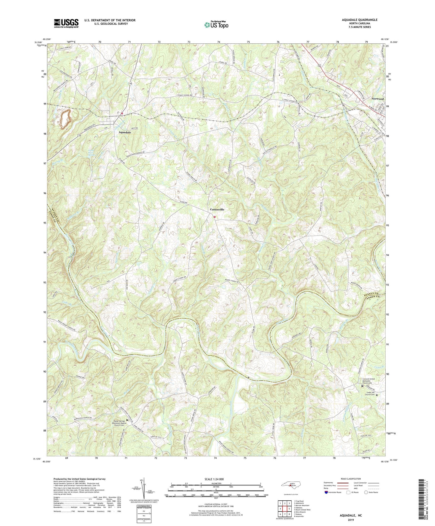
2019 topographic map quadrangle Aquadale in the state of North Carolina. Scale: 1:24000. Based on the newly updated USGS 7.5' US Topo map series, this map is in the following counties: Stanly, Anson. The map contains contour data, water features, and other items you are used to seeing on USGS maps, but also has updated roads and other features. This is the next generation of topographic maps. Printed on high-quality waterproof paper with UV fade-resistant inks.
Quads adjacent to this one:
West: Oakboro
Northwest: Frog Pond
North: Albemarle
Northeast: Morrow Mountain
East: Mount Gilead West
Southeast: Ansonville
South: Polkton
Southwest: Olive Branch
Contains the following named places: Abecrumby, Alligator Branch, Aquadale, Aquadale Census Designated Place, Aquadale Quarry, Aquadale Rural Volunteer Fire Department Station 50, Aquadale Rural Volunteer Fire Department Station 51, Aquadale School, Bethlehem Church, Big Branch, Bowsaw Branch, Cedar Branch, Cedar Grove Church, Cedar Hill Church, Cedar Hill Church Cemetery, Concord Church, Concord United Methodist Church Cemetery, Coopers Creek, Cottonville, Cribs Creek, Green Memorial Church, Hardy Creek, Haw Branch, Howards Chapel, Jacks Branch, Lanes Creek, Little Creek, Long Branch Reservoir, Long Branch Reservoir Dam, Mount Zion Church, Poplar Spring Church, Poplar Springs Missionary Baptist Church Cemetery, Rehobeth Church, Richardson Creek, Rocky River Springs, Roper, South Stanly Church, South Stanly High School, South Ugly Creek, Spears Branch, Stanly County Emergency Medical Services Base 2, Stillhouse Branch, Stump Pond, Stump Pond Dam, Township of Tyson, Ugly Creek, Wightman Church, Winfields Ford, ZIP Code: 28128