MyTopo
Bailey North Carolina US Topo Map
Couldn't load pickup availability
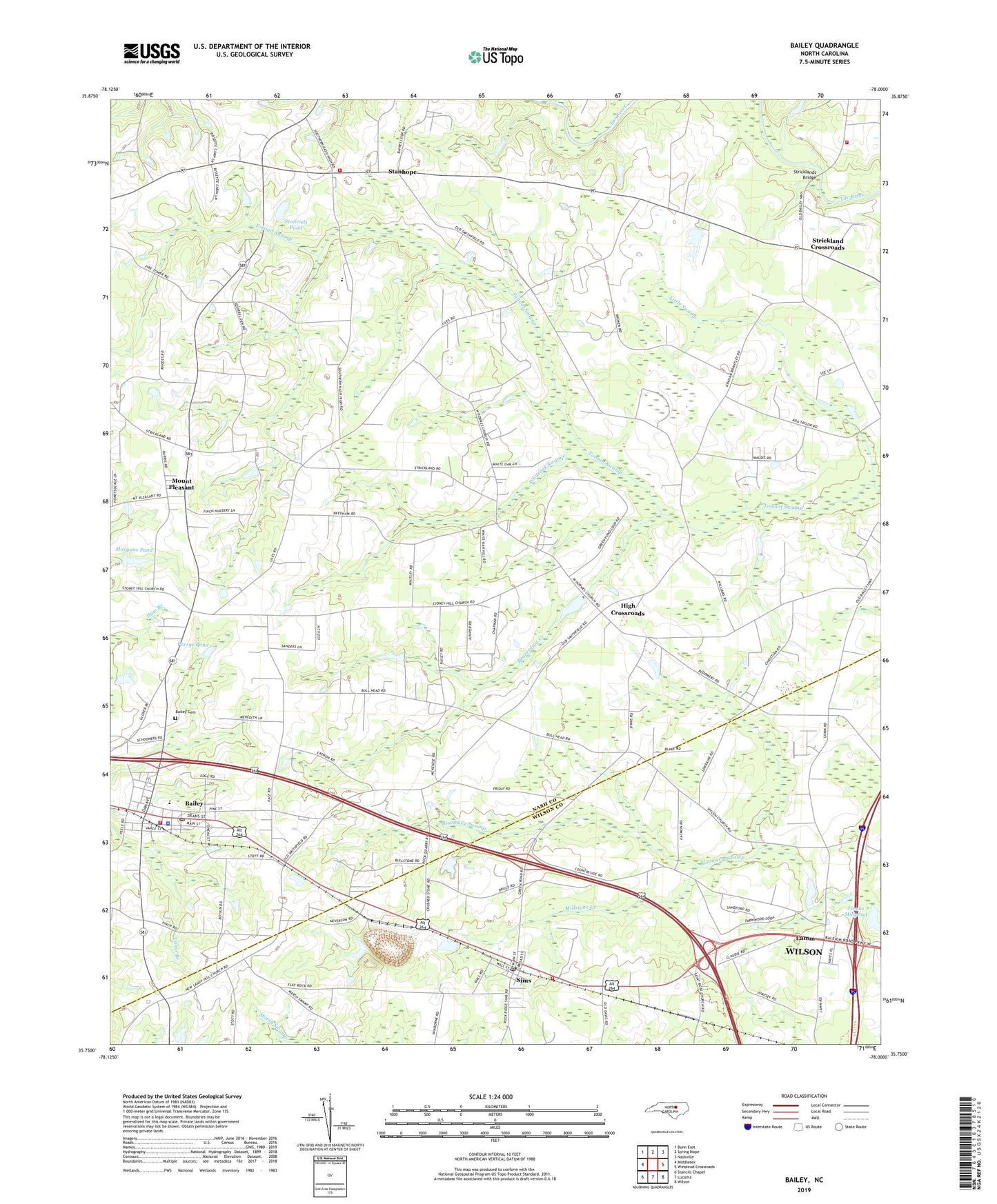
2022 topographic map quadrangle Bailey in the state of North Carolina. Scale: 1:24000. Based on the newly updated USGS 7.5' US Topo map series, this map is in the following counties: Nash, Wilson. The map contains contour data, water features, and other items you are used to seeing on USGS maps, but also has updated roads and other features. This is the next generation of topographic maps. Printed on high-quality waterproof paper with UV fade-resistant inks.
Quads adjacent to this one:
West: Middlesex
Northwest: Bunn East
North: Spring Hope
Northeast: Nashville
East: Winstead Crossroads
Southeast: Wilson
South: Lucama
Southwest: Stancils Chapel
This map covers the same area as the classic USGS quad with code o35078g1.
Contains the following named places: Bailey, Bailey Cemetery, Bailey Elementary School, Bailey Fire Department, Bailey Police Department, Bailey Post Office, Beaverdam Creek, Bissett Mill, Coopers Volunteer Fire Department and Rescue Squad Substation, Floods Chapel, High Crossroads, Hornes Church, Juniper Creek, Lamm, Little Swamp, Milbournie Church, Millstone Creek, Mitchells Chapel, Morgans Pond, Morgans Pond Dam, Mount Pleasant, Mount Pleasant Methodist Church, Mount Pleasant School, Nash County Emergency Medical Services Station 400, Neverson Quarry, New Sandy Hill Church, Perry Crossroads, Perrys Pond, Redoak Church, Reed Marsh, Sandy Grove Church, Sandy Level Church, Shiloh Church, Sims, Sims Community Rural Volunteer Fire Department, Sims Post Office, Sims School, Southern Nash High School, Stanciels Pond, Stanciels Pond Dam, Stanhope, Stanhope Community Volunteer Fire Department, Strickland Church, Strickland Crossroads, Strickland School, Stricklands Bridge, Stricklands Mill, Town of Bailey, Town of Sims, Township of Bailey, Township of Jackson, Union View Church, Whiteoak Hill Church, Whiteoak Swamp, Wilhams School, Wilson County Sheriff's Office, ZIP Code: 27807


