MyTopo
Bunyan North Carolina US Topo Map
Couldn't load pickup availability
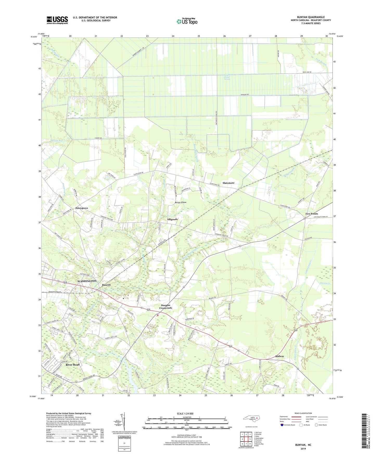
2019 topographic map quadrangle Bunyan in the state of North Carolina. Scale: 1:24000. Based on the newly updated USGS 7.5' US Topo map series, this map is in the following counties: Beaufort. The map contains contour data, water features, and other items you are used to seeing on USGS maps, but also has updated roads and other features. This is the next generation of topographic maps. Printed on high-quality waterproof paper with UV fade-resistant inks.
Quads adjacent to this one:
West: Washington
Northwest: Old Ford
North: Farmlife
Northeast: Hoke
East: Pinetown
Southeast: Bath
South: Blounts Bay
Southwest: Hackney
Contains the following named places: Alligoods, Asbury Church, Beaverdam Church, Beaverdam Swamp, Betsys Elbow, Broad Creek Emergency Medical Services, Bunyan, Bunyan Volunteer Fire Department Station 73, Douglas Crossroads, Five Points, Hall Swamp, J and W Dismal Swamp, Jessama, Midway, Mobiland Mobile Home Park, Pineygrove, River Road, River Road Census Designated Place, River Road School, Rosemary Church, Saint Luke Church, Slatestone, Township of Long Acre, Washington Water Treatment Plant, Woodwards Pond Church, Zion Church