MyTopo
Hoke North Carolina US Topo Map
Couldn't load pickup availability
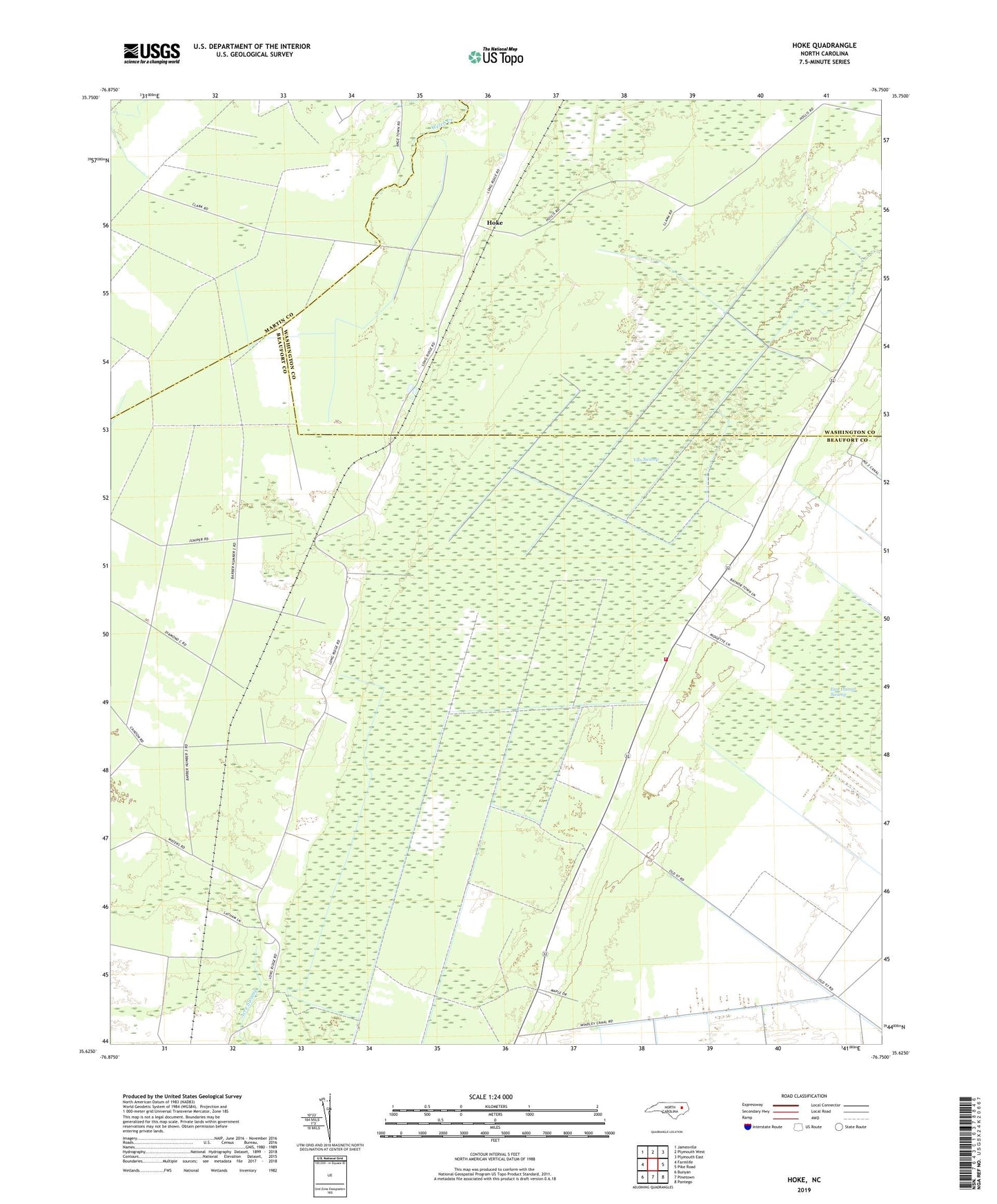
2022 topographic map quadrangle Hoke in the state of North Carolina. Scale: 1:24000. Based on the newly updated USGS 7.5' US Topo map series, this map is in the following counties: Beaufort, Washington, Martin. The map contains contour data, water features, and other items you are used to seeing on USGS maps, but also has updated roads and other features. This is the next generation of topographic maps. Printed on high-quality waterproof paper with UV fade-resistant inks.
Quads adjacent to this one:
West: Farmlife
Northwest: Jamesville
North: Plymouth West
Northeast: Plymouth East
East: Pike Road
Southeast: Pantego
South: Pinetown
Southwest: Bunyan
This map covers the same area as the classic USGS quad with code o35076f7.
Contains the following named places: Beachgrove, Christian Hope Church, Emandell, Hoke, Long Acre Chapel, Long Acre Volunteer Fire Department - Pinetown Station 2, Van Swamp, ZIP Code: 27865