MyTopo
Blounts Bay North Carolina US Topo Map
Couldn't load pickup availability
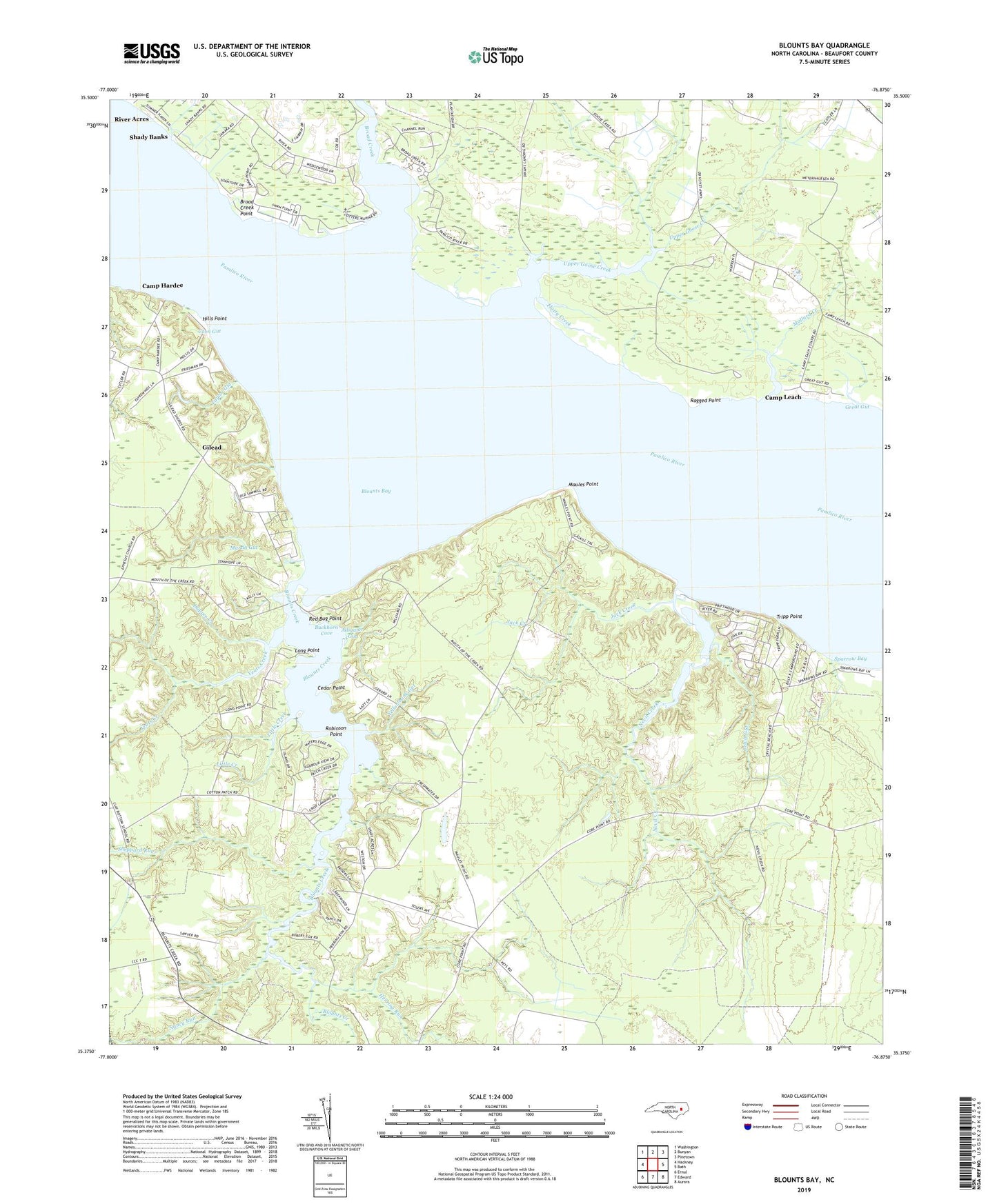
2022 topographic map quadrangle Blounts Bay in the state of North Carolina. Scale: 1:24000. Based on the newly updated USGS 7.5' US Topo map series, this map is in the following counties: Beaufort. The map contains contour data, water features, and other items you are used to seeing on USGS maps, but also has updated roads and other features. This is the next generation of topographic maps. Printed on high-quality waterproof paper with UV fade-resistant inks.
Quads adjacent to this one:
West: Hackney
Northwest: Washington
North: Bunyan
Northeast: Pinetown
East: Bath
Southeast: Aurora
South: Edward
Southwest: Ernul
This map covers the same area as the classic USGS quad with code o35076d8.
Contains the following named places: Alligator Gut, Blounts Bay, Blounts Creek, Blounts Creek Mill, Broad Creek, Broad Creek Point, Buckhorn Cove, Camp Hardee, Camp Leach, Cedar Point, Coon Gut, Cotton Patch Landing, Dinah Landing, Dupree Creek, Elizabeth Chapel, Ephesus Church, Flatty Creek, Gerard Landing, Gerards Chapel, Gilead, Great Gut, Herring Run, Hills Point, Jack Creek, Lewis Gut, Little Creek, Long Point, Mallard Creek, Martin Gut, Maules Point, McCotters Marina, Nancy Run, Nevil Creek, Ragged Point, Red Bug Point, River Acres, Robinson Point, Saint Francis Church, Saint Johns Church, Saint Union Church, Shady Banks, Sheppard Run, Sparrow Bay, Taylor Gut, Tripp Point, Upper Goose Creek, Ware Creek Church, Ware Creek School, Washington Yacht and Country Club, Yeats Creek, Yellowbank Gut, ZIP Code: 27814


