MyTopo
Carolina Beach North Carolina US Topo Map
Couldn't load pickup availability
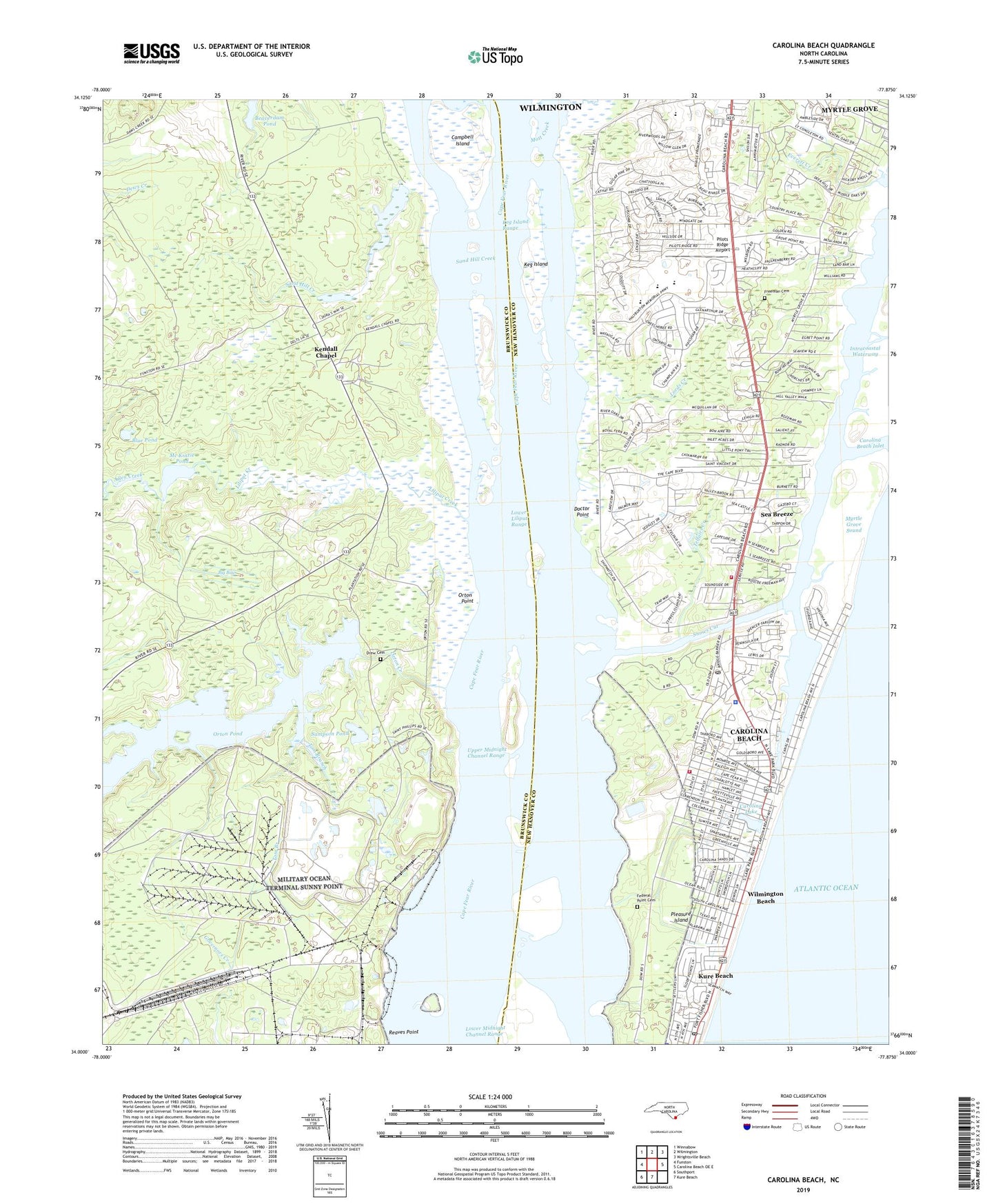
2022 topographic map quadrangle Carolina Beach in the state of North Carolina. Scale: 1:24000. Based on the newly updated USGS 7.5' US Topo map series, this map is in the following counties: Brunswick, New Hanover. The map contains contour data, water features, and other items you are used to seeing on USGS maps, but also has updated roads and other features. This is the next generation of topographic maps. Printed on high-quality waterproof paper with UV fade-resistant inks.
Quads adjacent to this one:
West: Funston
Northwest: Winnabow
North: Wilmington
Northeast: Wrightsville Beach
East: Carolina Beach OE E
South: Kure Beach
Southwest: Southport
This map covers the same area as the classic USGS quad with code o34077a8.
Contains the following named places: Allen Creek, Anchor View Mobile Home Estates, Anderson Landing, Beau Rivage Resort and Golf Club, Beaverdam Pond, Big Bay, Blue Pond, Brunswick Town State Historic Site, Campbell Island, Carolina Beach, Carolina Beach Elementary School, Carolina Beach Fire Department, Carolina Beach Inlet, Carolina Beach Police Department, Carolina Beach Post Office, Carolina Beach State Park, Carolina Beach Wastewater Treatment Plant, Carolina Lake, Doctor Point, Drew Cemetery, Everett Creek, Federal Point Cemetery, Fort Fisher Country Club, Freeman Cemetery, Hanby Beach, Hanks Chapel, Harmony Village Mobile Home Park, Keg Island, Keg Island Range, Kendall Chapel, Kure Beach Police Department, Kure Beach Post Office, Kure Beach Volunteer Fire Department, Liliput Creek, Lords Creek, Lower Liliput Range, Mc Kinzie Pond, McKinzie Creek, Motsu Spoil Disposal Dike, Mott Creek, Mount Pilgrim Church, Myrtle Grove Census Designated Place, Myrtle Grove Holiness Church, Myrtle Sound, New Hanover County Fire Rescue Federal Point Station 19, Oceanway Mobile Home Park, Orton Church, Orton Creek, Orton Plantation, Orton Point, Orton Pond, Pilots Ridge Airport, Pleasure Island, Reaves Point, Richardsons Mobile Home Park, Sampson Pond, Sanctuary Church of Wilmington, Sand Hill Creek, Sandwinds Mobile Home Park, Sea Breeze, Sea Breeze Census Designated Place, Snows Cut, Solid Rock Pentecostal Church, Southridge Mobile Home Park, Spring Oaks Mobile Home Estates, Telfairs Creek, Telphic Creek, Tom Branch, Town of Carolina Beach, Township of Federal Point, Upper Midnight Channel Range, Whispering Pines Baptist Church, Wilmington Beach, ZIP Code: 28428