MyTopo
Chapanoke North Carolina US Topo Map
Couldn't load pickup availability
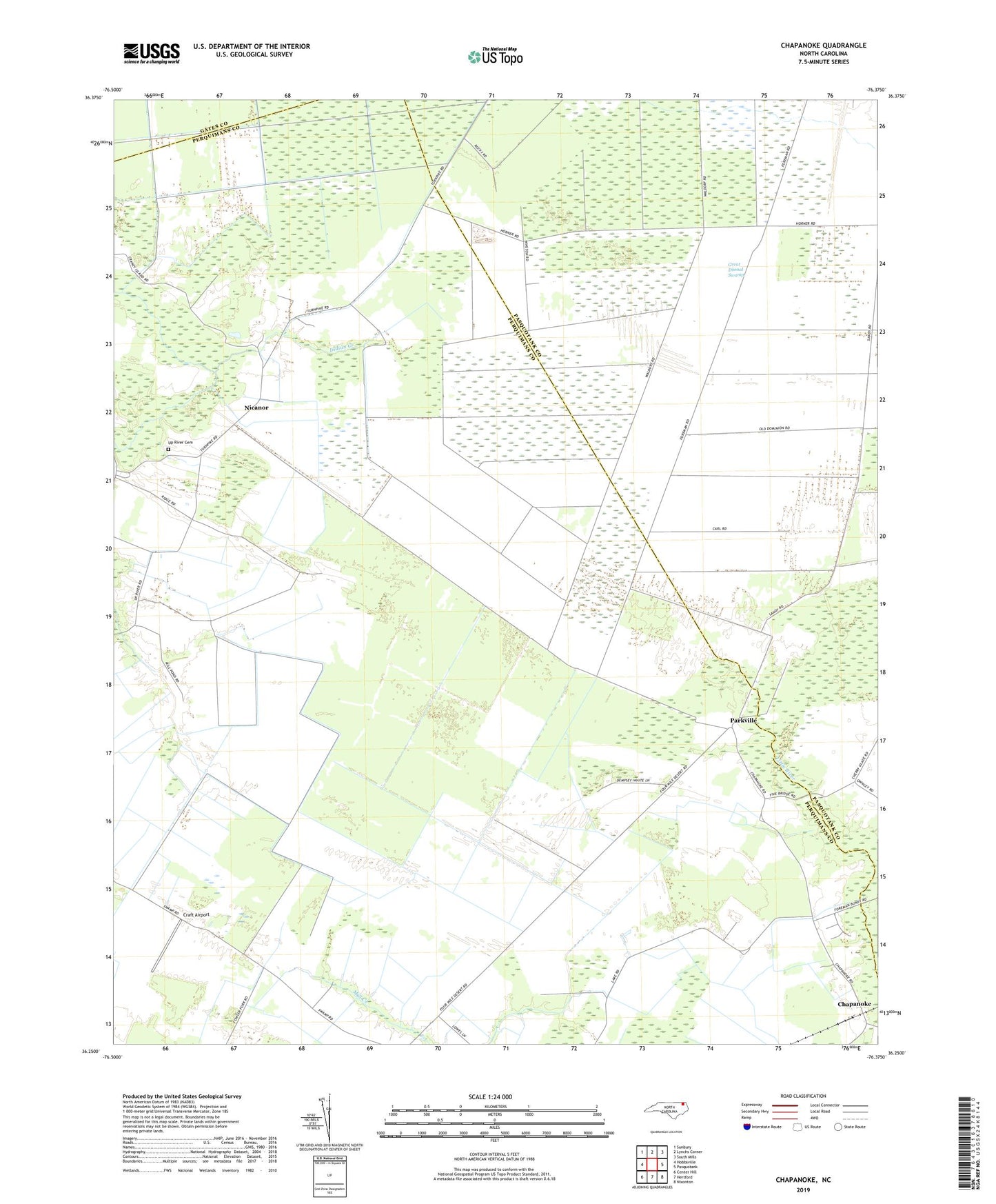
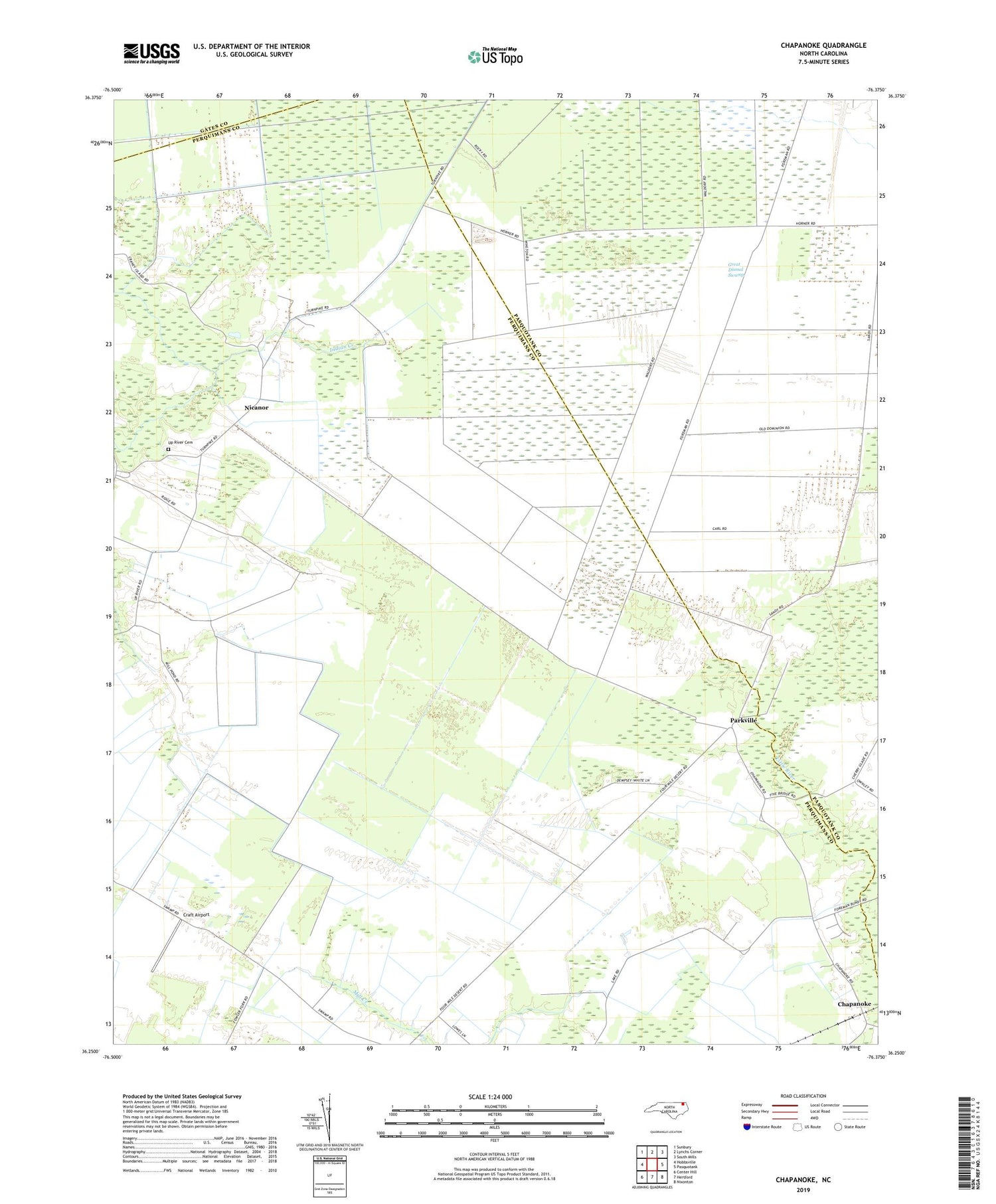
2019 topographic map quadrangle Chapanoke in the state of North Carolina. Scale: 1:24000. Based on the newly updated USGS 7.5' US Topo map series, this map is in the following counties: Perquimans, Pasquotank, Gates. The map contains contour data, water features, and other items you are used to seeing on USGS maps, but also has updated roads and other features. This is the next generation of topographic maps. Printed on high-quality waterproof paper with UV fade-resistant inks.
Quads adjacent to this one:
West: Hobbsville
Northwest: Sunbury
North: Lynchs Corner
Northeast: South Mills
East: Pasquotank
Southeast: Nixonton
South: Hertford
Southwest: Center Hill
Contains the following named places: Chapanoke, Craft Airport, Indian Creek, Nicanor, Oak Grove Church, Parkville, Up River Cemetery, Up River Church, Whiteston