MyTopo
Green Island North Carolina US Topo Map
Couldn't load pickup availability
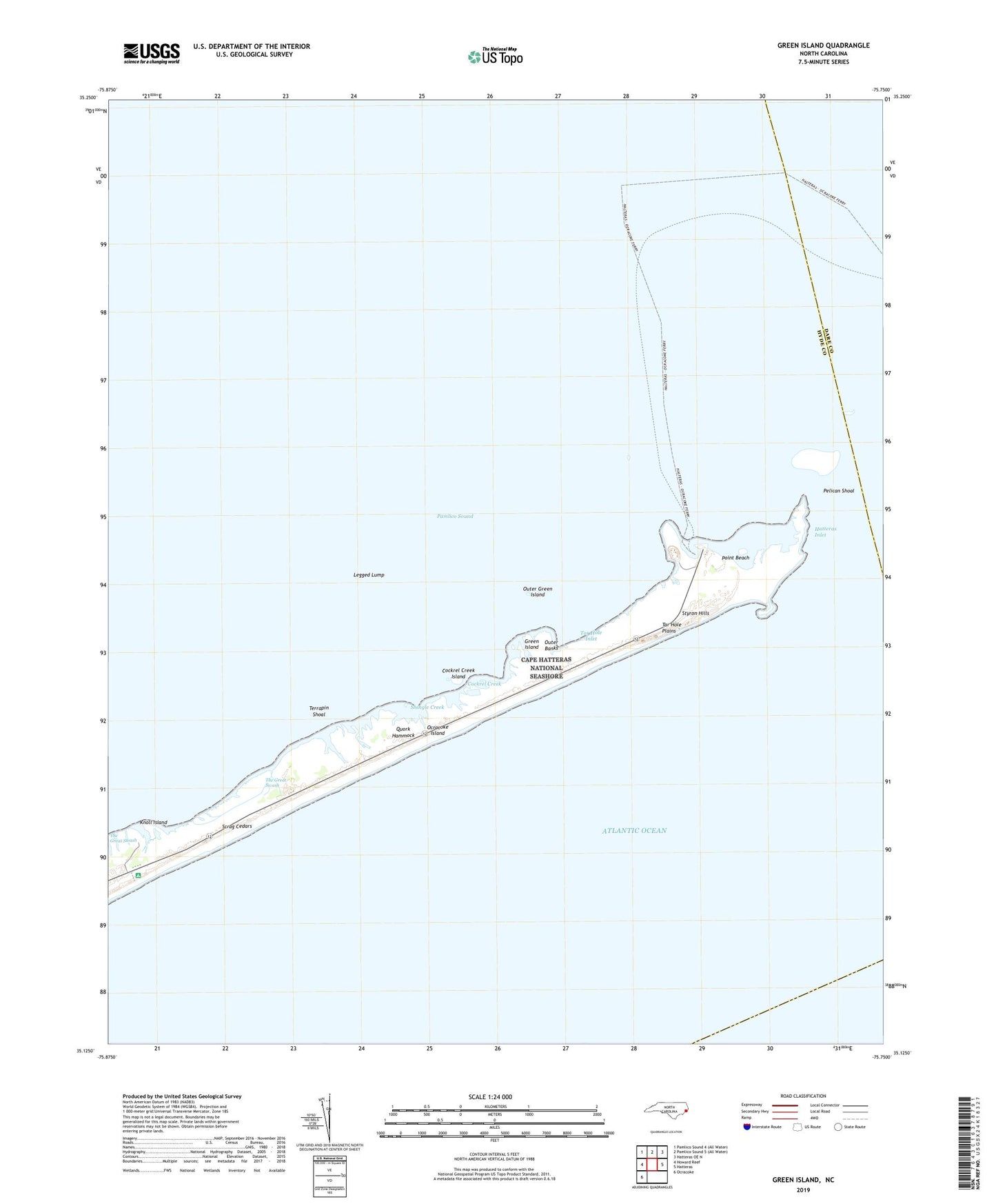
2022 topographic map quadrangle Green Island in the state of North Carolina. Scale: 1:24000. Based on the newly updated USGS 7.5' US Topo map series, this map is in the following counties: Hyde, Dare. The map contains contour data, water features, and other items you are used to seeing on USGS maps, but also has updated roads and other features. This is the next generation of topographic maps. Printed on high-quality waterproof paper with UV fade-resistant inks.
Quads adjacent to this one:
West: Howard Reef
Northeast: Hatteras OE N
East: Hatteras
Southwest: Ocracoke
This map covers the same area as the classic USGS quad with code o35075b7.
Contains the following named places: Cockrel Creek, Cockrel Creek Island, Gary Braggs Camp, Green Island, Green Island Club, Hatteras Inlet, Knoll Creek, Knoll Island, Legged Lump, North Bitterswash Creek, Old Green Island Club, Outer Green Island, Pelican Shoal, Point Beach, Quork Hammock, Scrag Cedars, Shingle Creek, South Bitterswash Creek, Styron Hills, Tar Hole Inlet, Tar Hole Plains, Terrapin Shoal, The Great Swash