MyTopo
Grifton North Carolina US Topo Map
Couldn't load pickup availability
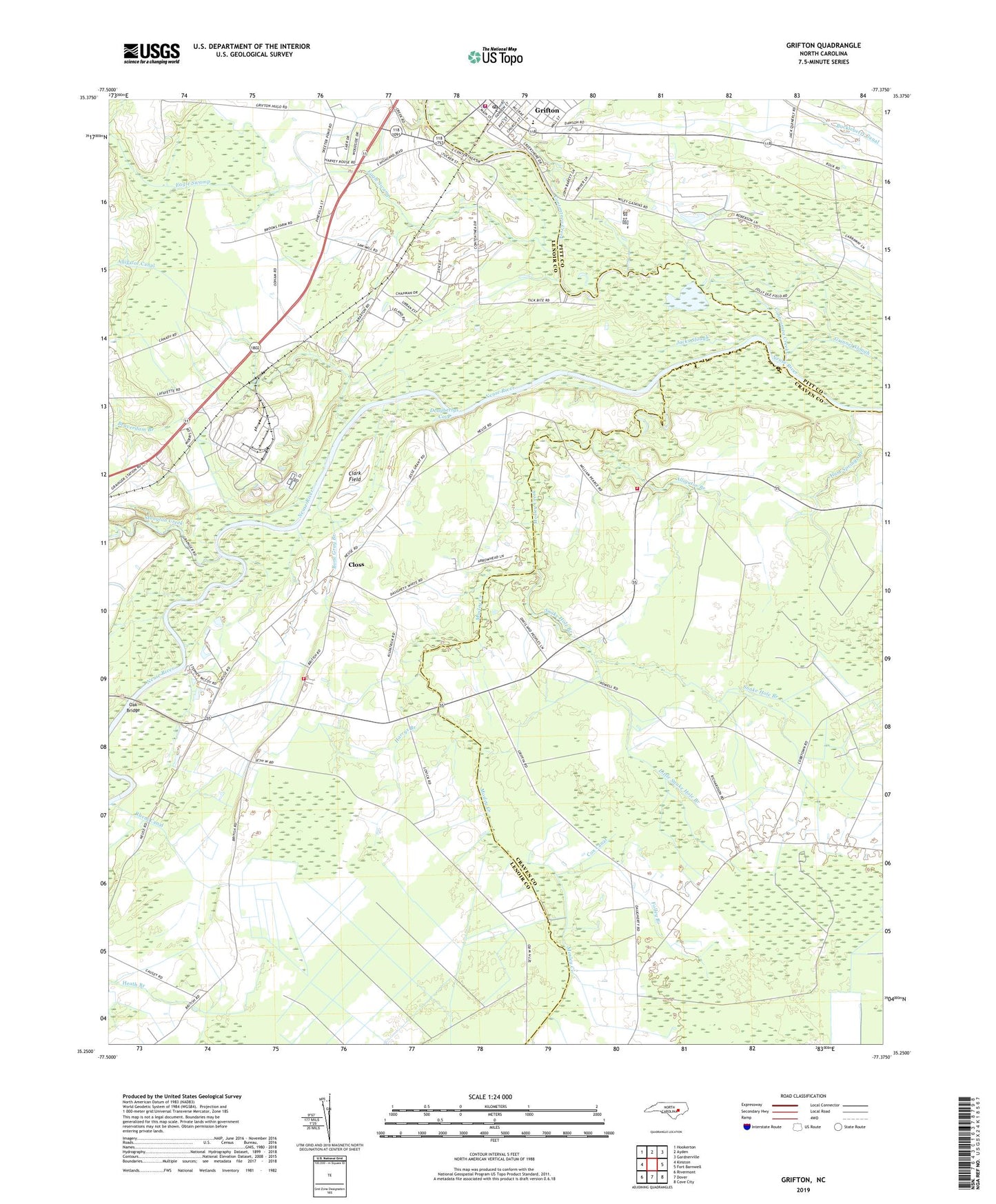
2022 topographic map quadrangle Grifton in the state of North Carolina. Scale: 1:24000. Based on the newly updated USGS 7.5' US Topo map series, this map is in the following counties: Lenoir, Craven, Pitt. The map contains contour data, water features, and other items you are used to seeing on USGS maps, but also has updated roads and other features. This is the next generation of topographic maps. Printed on high-quality waterproof paper with UV fade-resistant inks.
Quads adjacent to this one:
West: Kinston
Northwest: Hookerton
North: Ayden
Northeast: Gardnerville
East: Fort Barnwell
Southeast: Cove City
South: Dover
Southwest: Rivermont
This map covers the same area as the classic USGS quad with code o35077c4.
Contains the following named places: Albrittons Landing, Alligator Branch, Alligator Canal, Alum Springs Branch, Alum Springs Church, Beaverdam Branch, Bectons Old Field Landing, Bethany Church, Bethel Church, Bone Gray Branch, British Chapel, Caswell Landing, Channel 7 Canal, Clark Field, Closs, Contentnea Creek, Cox Canal, Doughertys Cove, Eagle Swamp, Folley Branch, Fort Barnwell Volunteer Fire Department, Grifton, Grifton City Hall, Grifton Pentecostal Holiness Church, Grifton Police Department, Grifton Post Office, Grifton Rescue Squad, Grifton School, Grifton United Methodist Church, Grifton Volunteer Fire Department Station 43, Grinnel Slough, Harrys Branch, Hickory Grove Church, Jacks Slough, John Hill Mobile Home Park, Jollys Old Field Landing, Lanes Chapel, Little Snake Hole Branch, Live Oak Church, Mosley Creek, Mosley Creek Church, Nelson Landing, Oak Bridge, Pearce Landing, Plank Landing, Rhem Canal, Royal Acres, Sand Hill Church, Sand Hill Volunteer Fire Department, Snake Hole Branch, Stonyton Creek, Terrapin Landing, Tick Bite, Town of Grifton, Township of Contentnea Neck, Township of Sand Hill, Tracey Swamp, Urban Estates, West Crossroads, West Landing, WITN-FM (Washington), WITN-TV (Washington), WNCT-FM (Greenville), WNCT-TV (Greenville), ZIP Code: 28530


