MyTopo
King North Carolina US Topo Map
Couldn't load pickup availability
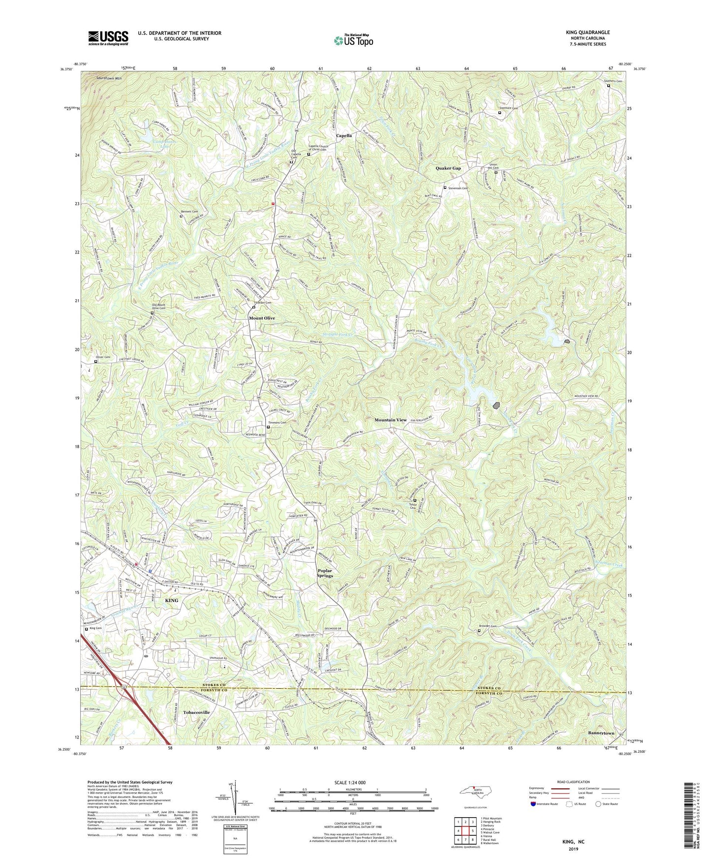
2019 topographic map quadrangle King in the state of North Carolina. Scale: 1:24000. Based on the newly updated USGS 7.5' US Topo map series, this map is in the following counties: Stokes, Forsyth. The map contains contour data, water features, and other items you are used to seeing on USGS maps, but also has updated roads and other features. This is the next generation of topographic maps. Printed on high-quality waterproof paper with UV fade-resistant inks.
Quads adjacent to this one:
West: Pinnacle
Northwest: Pilot Mountain
North: Hanging Rock
Northeast: Danbury
East: Walnut Cove
Southeast: Walkertown
South: Rural Hall
Southwest: Vienna
Contains the following named places: Bannertown, Bennett Cemetery, Bethel United Methodist Church, Boyles Chapel, Browder Cemetery, Brushy Fork Creek, C F Stone Estate Dam, C F Stone Estate Lake, Camp Hanes, Camp Hanes Dam, Camp Hanes Lake, Capella, Capella Church of Christ, Capella Church of Christ Cemetery, Chestnut Grove Junior High School, City of King, Corinth Church of Christ, Cross Roads Airport, Friendship, Friendship Institute, Friendship Missionary Baptist Church, Goff Creek, Haw Pond Church of Christ, King, King Cemetery, King Elementary School, King Fire Department, King High School, King Intermediate School, King Police Department, King Post Office, King Recreational Acres, Leak Branch, Mount Olive, Mount Olive Church, Mountain View, Mountain View Baptist Church, Neatman, North Carolina State Highway Patrol Troop E District 5, Oak Grove School, Old Capella Cemetery, Old Mount Olive Cemetery, Oliver Cemetery, Paynes Branch, Poplar Springs, Poplar Springs Church of Christ, Quaker Gap, Quaker Gap Missionary Baptist Church, Sauratown Mountain, Sauratown Mountain Church, Sauratown Volunteer Fire and Rescue Department, Sizemore Cemetery, Southern Cemetery, Stevenson Cemetery, Straight Fork Creek, Tillotson Cemetery, Timmons Cemetery, Timmons Creek, Town Fork Creek Watershed Dam Number Sixteen, Town Fork Creek Watershed Dam Number Ten, Town Fork Creek Watershed Lake Sixteen, Town Fork Creek Watershed Lake Ten, Township of Yadkin, Tuttle Cemetery, Union Hill Cemetery, WKTE-AM (King), ZIP Code: 27021